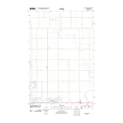
2010 Map of Dilworth
USGS Topo · Published 2010About this map
Dilworth anchors the southern portion of this Red River Valley landscape, shown here as it transitioned into the early twenty-first century. The city's residential and commercial grid is clearly defined, supporting local infrastructure such as the Dilworth Post Office. Surrounding the town, a strict rectangular section-line road network includes major arteries like County Hwy-9 and County Hwy-90, which facilitate movement through the agricultural territory of Clay County.
Find a feature on this map
26 named features on this map. Tap any name to fly to it.
Don’t see what you’re looking for? This feature index may not catch every label — zoom into the map to look around manually.
Map Details
Editions of this 2010 Dilworth Map
This is the sole edition of this map. No revisions or reprints were ever made.
Other maps of this area

1895 · Fargo
USGS Topo · 1:125,000

1897 · Fargo
USGS Topo · 1:125,000

1952 · Grand Forks
USGS Topo · 1:250,000

1953 · Fargo
USGS Topo · 1:250,000

1956 · Fargo
USGS Topo · 1:250,000

1956 · Grand Forks
USGS Topo · 1:250,000

1959 · Fargo North
USGS Topo · 1:24,000

1959 · Fargo South
USGS Topo · 1:24,000

1963 · Georgetown
USGS Topo · 1:24,000

1964 · Sabin
USGS Topo · 1:24,000
Featured Places
- Moorhead, MN
- Dilworth, MN
- Villa di Sole Mobile Park, Dilworth
- Cottonwood Acres, Dilworth
- Park Lane Mobile Home Park, Dilworth