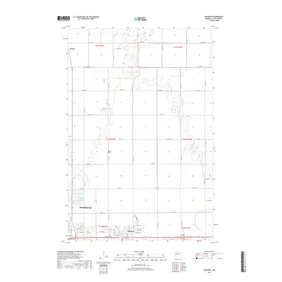
2019 Map of Dilworth
USGS Topo · Published 2019About this map
The Buffalo River and the South Branch Buffalo River meander across this Clay County landscape, defining the hydrology north of the urbanized centers. In the southern portion of the sheet, the growth of Moorhead and Dilworth is evident, showing a dense grid of streets and residential developments such as those along W Summerwood Trl. This area serves as a critical junction where the residential expansion of the Fargo-Moorhead metropolitan area meets the agricultural plains of the Red River Valley.
Find a feature on this map
39 named features on this map. Tap any name to fly to it.
Don’t see what you’re looking for? This feature index may not catch every label — zoom into the map to look around manually.
Map Details
Editions of this 2019 Dilworth Map
This is the sole edition of this map. No revisions or reprints were ever made.
Other maps of this area

1895 · Fargo
USGS Topo · 1:125,000

1897 · Fargo
USGS Topo · 1:125,000

1952 · Grand Forks
USGS Topo · 1:250,000

1953 · Fargo
USGS Topo · 1:250,000

1956 · Fargo
USGS Topo · 1:250,000

1956 · Grand Forks
USGS Topo · 1:250,000

1959 · Fargo North
USGS Topo · 1:24,000

1959 · Fargo South
USGS Topo · 1:24,000

1963 · Georgetown
USGS Topo · 1:24,000

1964 · Sabin
USGS Topo · 1:24,000
Featured Places
- Moorhead, MN
- Dilworth, MN
- Villa di Sole Mobile Park, Dilworth
- Cottonwood Acres, Dilworth
- Park Lane Mobile Home Park, Dilworth