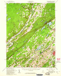
1954 Map of Dingmans Ferry
USGS Topo · Published 1960About this map
Stokes State Forest and the Kittatinny Mountain ridgeline dominate this mid-century view of the New Jersey and Pennsylvania borderlands. The landscape is defined by the Delaware River, which carves through the terrain at Wallpack Bend, creating a natural boundary between Middle Smithfield and Walpack townships. This era shows a region densely populated with seasonal youth camps, such as Camp No-Be-Bo-Sco and Camp Fire Girls Camp, scattered among the glacial lakes like Lake Owassa and Culvers Lake.
Find a feature on this map
147 named features on this map. Tap any name to fly to it.
Don’t see what you’re looking for? This feature index may not catch every label — zoom into the map to look around manually.
Map Details
Editions of this 1954 Dingmans Ferry Map
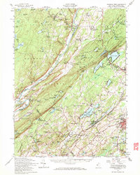
2 editions found
Other maps of this area

1888 · Franklin
USGS Topo · 1:62,500

1888 · Hackettstown
USGS Topo · 1:62,500

1888 · Lake Hopatcong
USGS Topo · 1:62,500

1891 · Wallpack
USGS Topo · 1:62,500

1891 · Delaware Water Gap
USGS Topo · 1:62,500

1893 · Delaware Water Gap
USGS Topo · 1:62,500

1893 · Wallpack
USGS Topo · 1:62,500

1894 · Hackettstown
USGS Topo · 1:62,500

1894 · Lake Hopatcong
USGS Topo · 1:62,500

1894 · Franklin
USGS Topo · 1:62,500