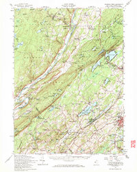
1954 Map of Dingmans Ferry
USGS Topo · Published 1971About this map
Delaware river crossings and rural Sussex County life define this mid-century landscape, centered on the historic ferry landing and the high ridges of Kittatinny Mountain. The era's emphasis on youth recreation is evident in the dense concentration of summer camps, such as Camp Minisink, Camp Mohican, and the 4-H Camp, scattered throughout the Stokes State Forest and near Fairview Lake. Local infrastructure includes the New York Susquehanna and Western railroad corridor and the Appalachian Trail winding across the high ground.
Find a feature on this map
147 named features on this map. Tap any name to fly to it.
Don’t see what you’re looking for? This feature index may not catch every label — zoom into the map to look around manually.
Map Details
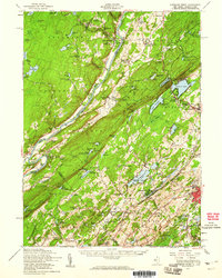
Editions of this 1954 Dingmans Ferry Map
2 editions found
Other maps of this area

1888 · Franklin
USGS Topo · 1:62,500

1888 · Hackettstown
USGS Topo · 1:62,500

1888 · Lake Hopatcong
USGS Topo · 1:62,500

1891 · Wallpack
USGS Topo · 1:62,500

1891 · Delaware Water Gap
USGS Topo · 1:62,500

1893 · Delaware Water Gap
USGS Topo · 1:62,500

1893 · Wallpack
USGS Topo · 1:62,500

1894 · Hackettstown
USGS Topo · 1:62,500

1894 · Lake Hopatcong
USGS Topo · 1:62,500

1894 · Franklin
USGS Topo · 1:62,500