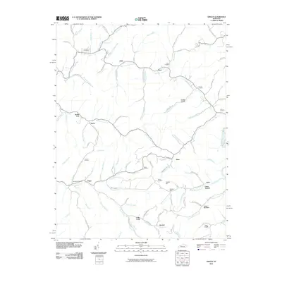
2010 Map of Dingus
USGS Topo · Published 2010About this map
Dingus and its surrounding hollows in Morgan County are defined by a complex network of waterways, where Williams Creek and Lick Branch meet near family-held lands. The settlement pattern follows the narrow valleys of Open Fork Paint Creek and the Middle Fork Elk Fork, with small communities like Mima, Ophir, and Silverhill serving as anchors for the rural population. Numerous small burial grounds, including the Beculhimer Cemetery and Conley Cemetery, are tucked into the hillsides, reflecting generations of local family history. The topography is further marked by distinct landmarks such as Peddler Hill and Peddler Gap, which influenced early travel routes between the Coffee Creek and Stingy Fork drainages. This 2010 survey provides a modern view of these long-established mountain settlements and the naming conventions that have persisted in this corner of Kentucky.
Find a feature on this map
94 named features on this map. Tap any name to fly to it.
Don’t see what you’re looking for? This feature index may not catch every label — zoom into the map to look around manually.
Map Details
Editions of this 2010 Dingus Map
This is the sole edition of this map. No revisions or reprints were ever made.
Other maps of this area

1886 · Prestonsburg
USGS Topo · 1:125,000

1889 · Salyersville
USGS Topo · 1:125,000

1891 · Salyersville
USGS Topo · 1:125,000

1892 · Prestonsburg
USGS Topo · 1:125,000

1899 · Salyersville
USGS Topo · 1:125,000

1903 · Kenova
USGS Topo · 1:125,000

1904 · Kenova
USGS Topo · 1:125,000

1915 · Paintsville
USGS Topo · 1:48,000

1917 · Paintsville
USGS Topo · 1:62,500

1950 · Isonville
USGS Topo · 1:24,000