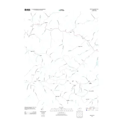
2013 Map of Dingus
USGS Topo · Published 2013About this map
Crockett and Moon serve as focal points for this rural landscape where numerous family-named landmarks reflect deep roots in the region. The terrain is defined by the winding paths of Birch Fork, Fannins Fork, and the Open Fork Paint Cr, which dictate the placement of small communities like Dingus and Ophir. Genealogy researchers will find significant value in the distribution of family burial grounds, including the Conley Cem, Skaggs Cem, and Beculhimer Cem, often located near ancestral homesteads.
Find a feature on this map
132 named features on this map. Tap any name to fly to it.
Don’t see what you’re looking for? This feature index may not catch every label — zoom into the map to look around manually.
Map Details
Editions of this 2013 Dingus Map
This is the sole edition of this map. No revisions or reprints were ever made.
Other maps of this area

1886 · Prestonsburg
USGS Topo · 1:125,000

1889 · Salyersville
USGS Topo · 1:125,000

1891 · Salyersville
USGS Topo · 1:125,000

1892 · Prestonsburg
USGS Topo · 1:125,000

1899 · Salyersville
USGS Topo · 1:125,000

1903 · Kenova
USGS Topo · 1:125,000

1904 · Kenova
USGS Topo · 1:125,000

1915 · Paintsville
USGS Topo · 1:48,000

1917 · Paintsville
USGS Topo · 1:62,500

1950 · Isonville
USGS Topo · 1:24,000