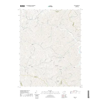
2019 Map of Dingus
USGS Topo · Published 2019About this map
Silverhill and the neighboring community of Dingus anchor this survey of Morgan County, where the landscape is defined by an intricate network of narrow hollows and ridge-top crossings. The settlement pattern follows the drainage of the Open Fork Paint Creek and Laurel Fork, with family-named landmarks such as Conley Cem and Skaggs Cem indicating deep roots in these highlands. The terrain is notably steep, characterized by features like Peddler Hill and Peddler Gap, which influenced the placement of winding routes like State Hwy 172.
Find a feature on this map
105 named features on this map. Tap any name to fly to it.
Don’t see what you’re looking for? This feature index may not catch every label — zoom into the map to look around manually.
Map Details
Editions of this 2019 Dingus Map
This is the sole edition of this map. No revisions or reprints were ever made.
Other maps of this area

1886 · Prestonsburg
USGS Topo · 1:125,000

1889 · Salyersville
USGS Topo · 1:125,000

1891 · Salyersville
USGS Topo · 1:125,000

1892 · Prestonsburg
USGS Topo · 1:125,000

1899 · Salyersville
USGS Topo · 1:125,000

1903 · Kenova
USGS Topo · 1:125,000

1904 · Kenova
USGS Topo · 1:125,000

1915 · Paintsville
USGS Topo · 1:48,000

1917 · Paintsville
USGS Topo · 1:62,500

1950 · Isonville
USGS Topo · 1:24,000