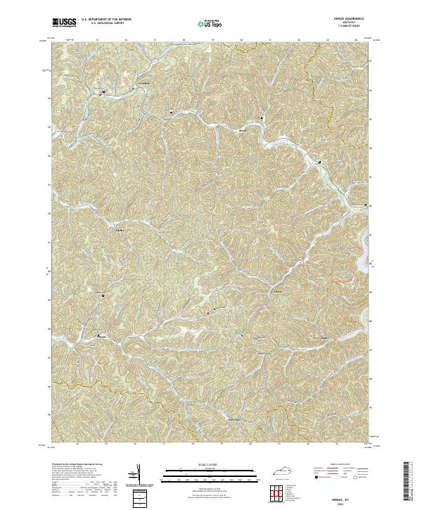
2022 Map of Dingus
USGS Topo · Published 2022About this map
Crockett and Moon anchor the northern reaches of this region, where the terrain is carved by the Open Fork Paint Creek and its many tributaries. The settlement pattern follows the narrow valley floors, with small communities like Dingus, Mima, and Ophir connected by winding routes such as State Hwy 437. Family history is deeply etched into the land, evidenced by numerous hillside burials including Skaggs Cem, Ferguson Cem, and Beclhimer Cem. To the south, the landscape rises toward Pedler Hill and the pass at Peddler Gap, marking the transition toward Silverhill near the border of Magoffin County. The intricate drainage network of Upper Sandlick Creek and Cindas Creek illustrates the complex topography of the Cumberland Plateau, where every hollow and branch serves as a namesake for local family lineage.
Find a feature on this map
111 named features on this map. Tap any name to fly to it.
Don’t see what you’re looking for? This feature index may not catch every label — zoom into the map to look around manually.
Map Details
Editions of this 2022 Dingus Map
This is the sole edition of this map. No revisions or reprints were ever made.
Other maps of this area

1886 · Prestonsburg
USGS Topo · 1:125,000

1889 · Salyersville
USGS Topo · 1:125,000

1891 · Salyersville
USGS Topo · 1:125,000

1892 · Prestonsburg
USGS Topo · 1:125,000

1899 · Salyersville
USGS Topo · 1:125,000

1903 · Kenova
USGS Topo · 1:125,000

1904 · Kenova
USGS Topo · 1:125,000

1915 · Paintsville
USGS Topo · 1:48,000

1917 · Paintsville
USGS Topo · 1:62,500

1950 · Isonville
USGS Topo · 1:24,000