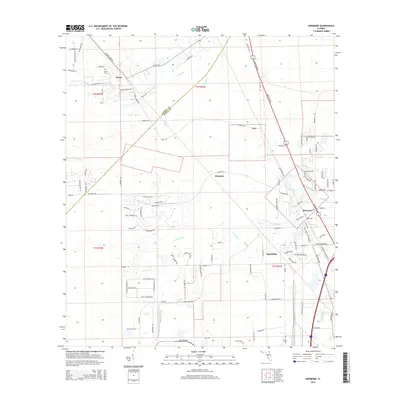
2015 Map of Dinsmore
USGS Topo · Published 2015About this map
The Trout River and its numerous tributaries, including Thomas Cr and Ben Br, define the drainage patterns of this landscape northwest of Jacksonville. The settlement of Dinsmore serves as a focal point near the junction of major transit corridors like New Kings Rd and Old Kings Rd, which parallel the historic rail lines through the area. Further north, smaller communities such as Cary, Plummer, and Spaulding sit amidst a network of rural roads and residential developments. Local history is anchored by sites like Keen Cem near the northern settlement of Keene. The boundary between Nassau Co and Duval Co cuts diagonally across the northwestern portion of the map, marking a transition between more developed areas and the pine flatwoods and creek bottoms that characterize this part of Florida.
Find a feature on this map
100 named features on this map. Tap any name to fly to it.
Don’t see what you’re looking for? This feature index may not catch every label — zoom into the map to look around manually.
Map Details
Editions of this 2015 Dinsmore Map
This is the sole edition of this map. No revisions or reprints were ever made.
Other maps of this area

1917 · Cambon
USGS Topo · 1:62,500

1917 · Hilliard
USGS Topo · 1:62,500

1918 · St Marys
USGS Topo · 1:62,500

1918 · Cambon
USGS Topo · 1:62,500

1918 · Jacksonville
USGS Topo · 1:62,500

1919 · St Marys
USGS Topo · 1:62,500

1919 · Hilliard
USGS Topo · 1:62,500

1948 · Jacksonville
USGS Topo · 1:250,000

1950 · Trout River
USGS Topo · 1:24,000
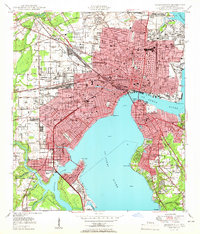
1950 · Jacksonville
USGS Topo · 1:24,000