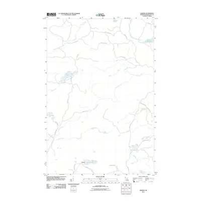
2011 Map of Diorite
USGS Topo · Published 2011About this map
The settlement of Diorite serves as the focal point for this 2011 survey of the Michigan iron range, situated along Diorite Rd and County Hwy CKK. The landscape is dominated by complex water systems, notably the Dead River Storage Basin in the northeast and the meandering Barnhardt Creek which drains central portions of the quadrangle. For those interested in industrial and mining history, the presence of Gold Mine Lake and its corresponding Gold Mine Creek suggest the area's geological legacy. The map details a web of rural routes such as Sleepy Hollow Rd and Grapevine Rd, which connect isolated water bodies like Brocky Lake, Gander Lake, and Boston Lake. This topographical study reveals a rugged northern interior characterized by many small basins and tributary streams including Connors Creek and Brown Creek.
Find a feature on this map
39 named features on this map. Tap any name to fly to it.
Don’t see what you’re looking for? This feature index may not catch every label — zoom into the map to look around manually.
Map Details
Editions of this 2011 Diorite Map
This is the sole edition of this map. No revisions or reprints were ever made.
Other maps of this area

1952 · Ishpeming
USGS Topo · 1:62,500

1952 · Ishpeming
USGS Topo · 1:24,000

1954 · Negaunee SW
USGS Topo · 1:24,000

1954 · Negaunee
USGS Topo · 1:62,500

1955 · Champion
USGS Topo · 1:24,000

1955 · Diorite
USGS Topo · 1:24,000

1955 · Greenwood
USGS Topo · 1:24,000

1955 · Republic
USGS Topo · 1:62,500

1955 · Republic
USGS Topo · 1:24,000

1955 · Champion
USGS Topo · 1:62,500