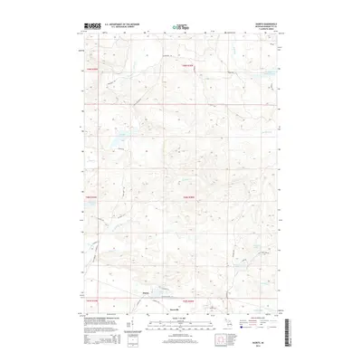
2014 Map of Diorite
USGS Topo · Published 2014About this map
Diorite and the adjacent settlement of Snowville anchor the southern portion of this Marquette County landscape, where the naming of Blueberry Mine Rd, Gold Mine Lake, and Gold Mine Cr point to the region's deep-rooted mineral extraction history. The terrain is defined by a dense network of waterways, including the Dead River Storage Basin in the northeast and the winding path of Barnhardt Cr through the center of the township. Isolated water bodies like Brocky Lake and Trembath Lake are reached by a system of rural routes such as Grapevine Rd and Dishno Rd. This survey highlights the spatial relationship between these small residential clusters and the surrounding natural resources, illustrating how the local infrastructure was built to support both industrial access and the scattered homes of this Upper Peninsula community.
Find a feature on this map
42 named features on this map. Tap any name to fly to it.
Don’t see what you’re looking for? This feature index may not catch every label — zoom into the map to look around manually.
Map Details
Editions of this 2014 Diorite Map
This is the sole edition of this map. No revisions or reprints were ever made.
Other maps of this area

1952 · Ishpeming
USGS Topo · 1:62,500

1952 · Ishpeming
USGS Topo · 1:24,000

1954 · Negaunee SW
USGS Topo · 1:24,000

1954 · Negaunee
USGS Topo · 1:62,500

1955 · Champion
USGS Topo · 1:24,000

1955 · Diorite
USGS Topo · 1:24,000

1955 · Greenwood
USGS Topo · 1:24,000

1955 · Republic
USGS Topo · 1:62,500

1955 · Republic
USGS Topo · 1:24,000

1955 · Champion
USGS Topo · 1:62,500