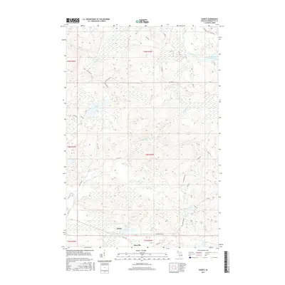
2017 Map of Diorite
USGS Topo · Published 2017About this map
The small settlements of Diorite and Snowville anchor the southern portion of this landscape in Humboldt Township, reflecting the area's deep-rooted mining history. The presence of Blueberry Mine Rd and the Gold Mine Lake drainage, including Gold Mine Cr, highlights a legacy of resource extraction that once shaped Marquette County's interior. To the north, the terrain is defined by a complex network of waterways and wetlands, including the Dead-River-Storage Basin and numerous isolated bodies like Boston Lake and Brocky Lake.
Find a feature on this map
47 named features on this map. Tap any name to fly to it.
Don’t see what you’re looking for? This feature index may not catch every label — zoom into the map to look around manually.
Map Details
Editions of this 2017 Diorite Map
This is the sole edition of this map. No revisions or reprints were ever made.
Other maps of this area

1952 · Ishpeming
USGS Topo · 1:62,500

1952 · Ishpeming
USGS Topo · 1:24,000

1954 · Negaunee SW
USGS Topo · 1:24,000

1954 · Negaunee
USGS Topo · 1:62,500

1955 · Champion
USGS Topo · 1:24,000

1955 · Diorite
USGS Topo · 1:24,000

1955 · Greenwood
USGS Topo · 1:24,000

1955 · Republic
USGS Topo · 1:62,500

1955 · Republic
USGS Topo · 1:24,000

1955 · Champion
USGS Topo · 1:62,500