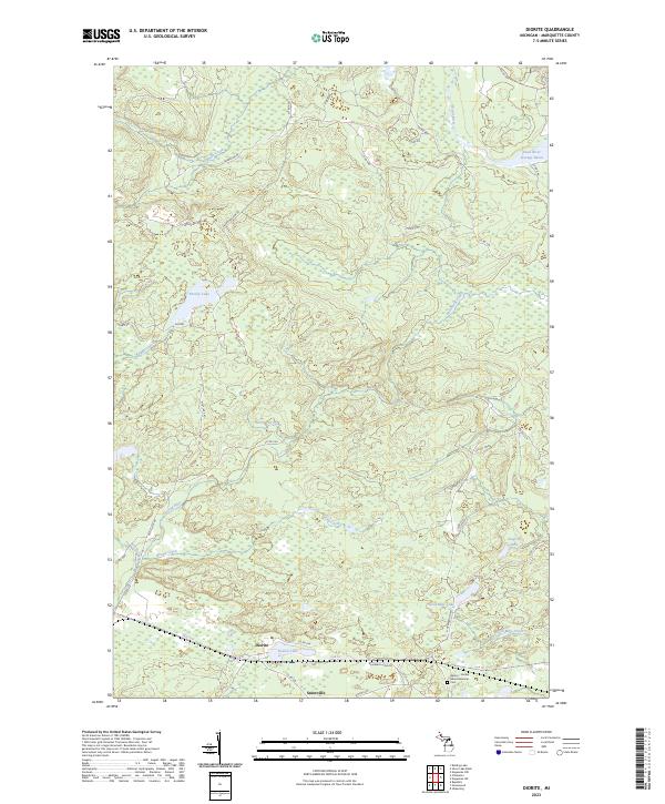
2023 Map of Diorite
USGS Topo · Published 2023About this map
Diorite and the adjacent settlement of Snowville anchor the southern portion of this landscape in Marquette County, Michigan. This region is defined by its complex hydrology and history of resource extraction, illustrated by the presence of Gold Mine Lake and Gold Mine Creek. The industrial heritage of the area is solemnly marked at the Barnes - Hecker Mine Memorial Cem, a site of significant local historical importance. Northward, the terrain is dominated by the Dead River Storage Basin and a network of drainages including Barnhardt Creek and Second River. Transportation routes like Blueberry Mine Rd and Diorite Rd suggest the enduring connection between these remote settlements and the mining operations that historically sustained them, while numerous small lakes such as Boston Lake and Brocky Lake dot the forested interior.
Find a feature on this map
50 named features on this map. Tap any name to fly to it.
Don’t see what you’re looking for? This feature index may not catch every label — zoom into the map to look around manually.
Map Details
Editions of this 2023 Diorite Map
This is the sole edition of this map. No revisions or reprints were ever made.
Other maps of this area

1952 · Ishpeming
USGS Topo · 1:62,500

1952 · Ishpeming
USGS Topo · 1:24,000

1954 · Negaunee SW
USGS Topo · 1:24,000

1954 · Negaunee
USGS Topo · 1:62,500

1955 · Champion
USGS Topo · 1:24,000

1955 · Diorite
USGS Topo · 1:24,000

1955 · Greenwood
USGS Topo · 1:24,000

1955 · Republic
USGS Topo · 1:62,500

1955 · Republic
USGS Topo · 1:24,000

1955 · Champion
USGS Topo · 1:62,500