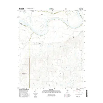
2016 Map of Direct
USGS Topo · Published 2016About this map
The Red River snakes along the northern border of this landscape, defining the state line between Texas and Oklahoma. This riverine environment is marked by deep meanders and alluvial features, where Crane Lake and Oberlin Lake sit in the floodplain near the settlement of Oberlin. To the south, the terrain transitions into the protected lands of the Caddo National Grassland, a significant expanse of public land that borders Bois d'Arc Creek. This area of Lamar County is dotted with small rural communities and family-named landmarks that reflect a long history of agricultural settlement.
Find a feature on this map
47 named features on this map. Tap any name to fly to it.
Don’t see what you’re looking for? This feature index may not catch every label — zoom into the map to look around manually.
Map Details
Editions of this 2016 Direct Map
This is the sole edition of this map. No revisions or reprints were ever made.
Other maps of this area

1903 · Paris
USGS Topo · 1:125,000

1947 · Honey Grove
USGS Topo · 1:62,500

1948 · Grant
USGS Topo · 1:62,500

1948 · Paris
USGS Topo · 1:62,500

1948 · Direct
USGS Topo · 1:62,500

1949 · Direct
USGS Topo · 1:62,500

1949 · Honey Grove
USGS Topo · 1:62,500

1949 · Grant
USGS Topo · 1:62,500

1949 · Paris
USGS Topo · 1:62,500

1953 · Texarkana
USGS Topo · 1:250,000