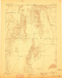
1893 Map of Disaster
USGS Topo · Published 1899About this map
Humboldt County's northwestern landscape is defined by the massive north-south cordilleras of the Pine Forest Mountains and the Jackson Mountains, which divide the high desert basins. Surveyed in the early 1880s, this reconnaissance reveals a frontier region where survival depended on water sources like Mason's Crossing and numerous geothermal Hot Springs. The map documents the erratic hydrology of the Great Basin, where the Quinn River Lakes flow toward the vast Sink of Quinn River on the edge of the Black Rock Desert. Local landmarks such as King Lear and Disaster Peak serve as prominent navigational aids in a territory marked by remote outposts like Donna Schee and Cabin Spring. This era of western exploration captures the region before modern infrastructure, highlighting primitive routes through Thacker Pass and the importance of grazing lands at Pahute Meadows.
Find a feature on this map
46 named features on this map. Tap any name to fly to it.
Don’t see what you’re looking for? This feature index may not catch every label — zoom into the map to look around manually.
Map Details
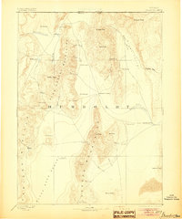
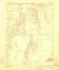
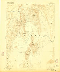
Editions of this 1893 Disaster Map
5 editions found
Other maps of this area

1882 · Paradise
USGS Topo · 1:250,000

1886 · Disaster
USGS Topo · 1:250,000

1886 · Granite Range
USGS Topo · 1:250,000

1889 · Long Valley
USGS Topo · 1:250,000

1893 · Paradise
USGS Topo · 1:250,000

1893 · Disaster
USGS Topo · 1:250,000

1894 · Granite Range
USGS Topo · 1:250,000

1931 · Lovelock
USGS Topo · 1:250,000

1932 · Sonoma Range
USGS Topo · 1:250,000

1935 · Lovelock
USGS Topo · 1:250,000