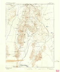
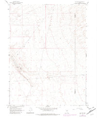
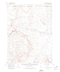
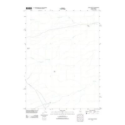
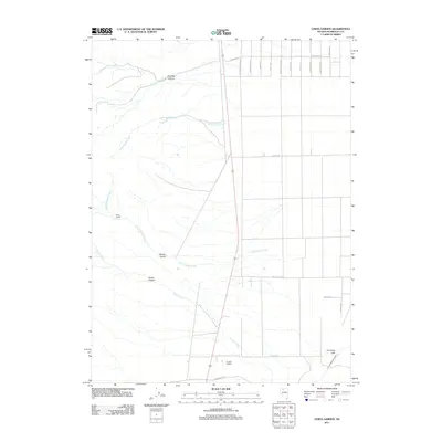
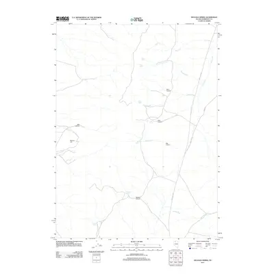
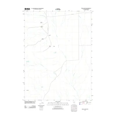
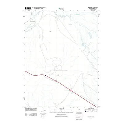
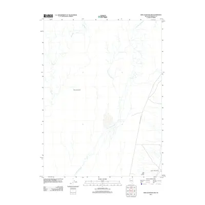
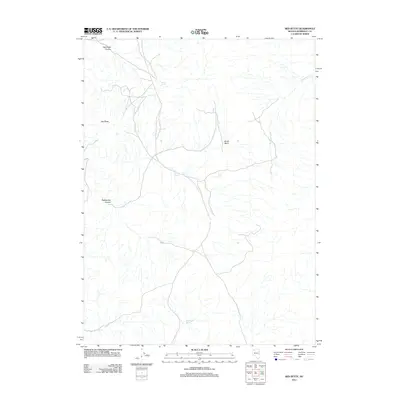
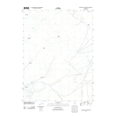
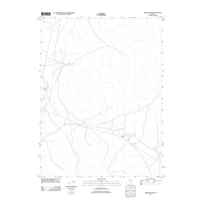
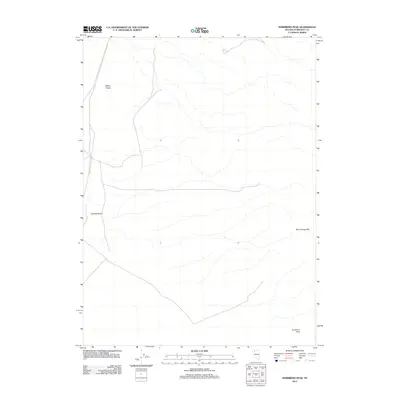
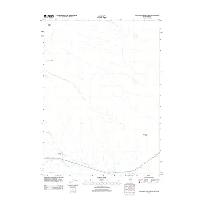
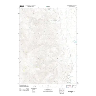
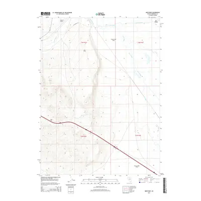
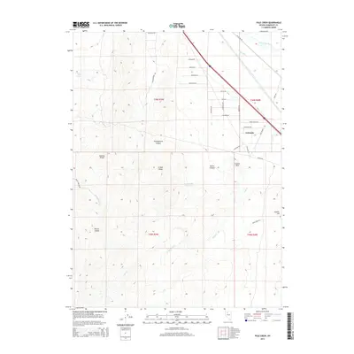
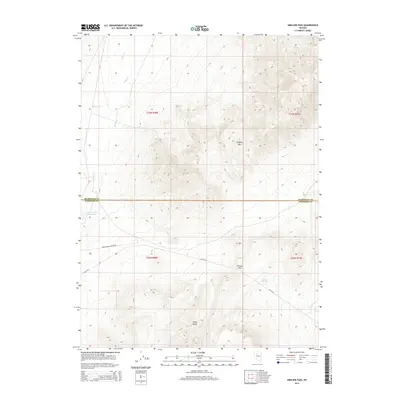
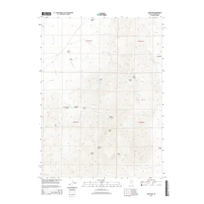
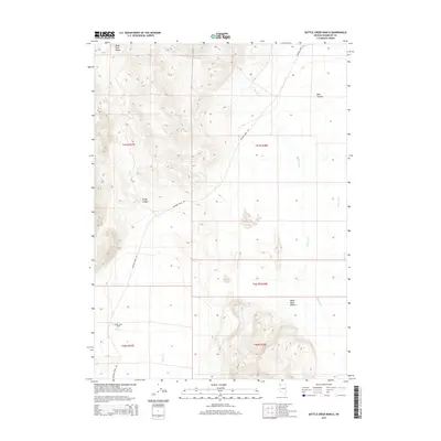
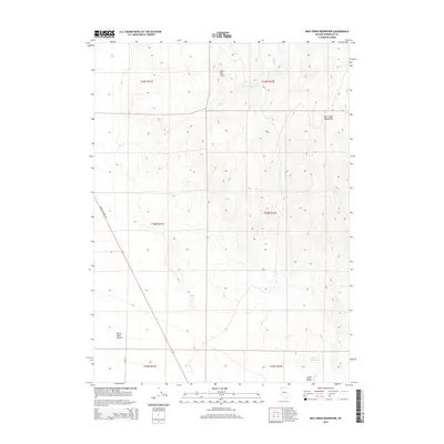
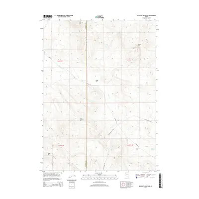
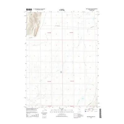
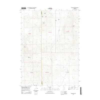
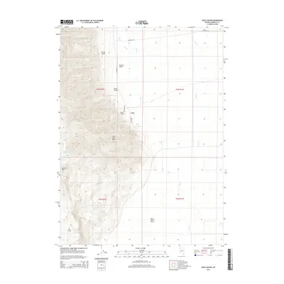
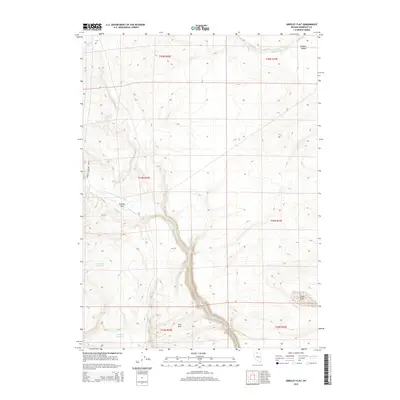
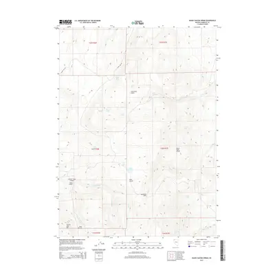
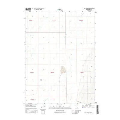
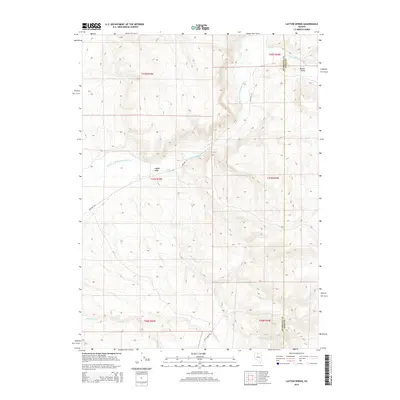
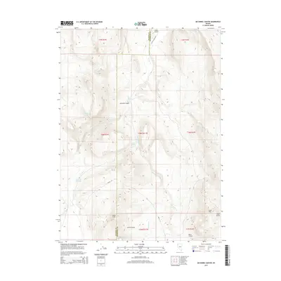
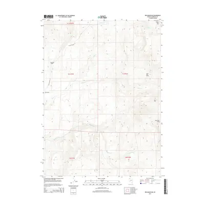
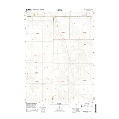
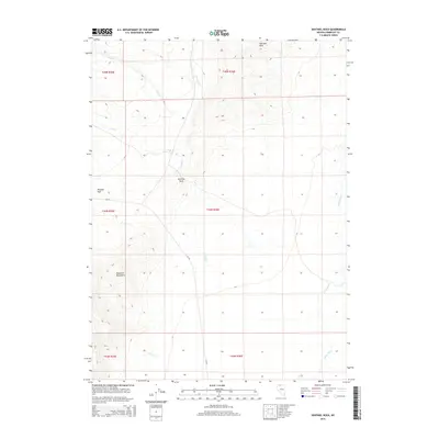
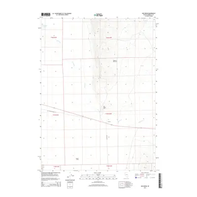
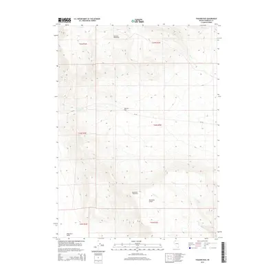
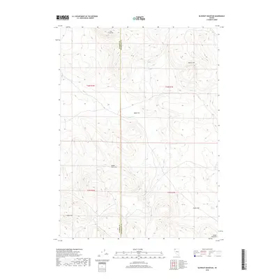
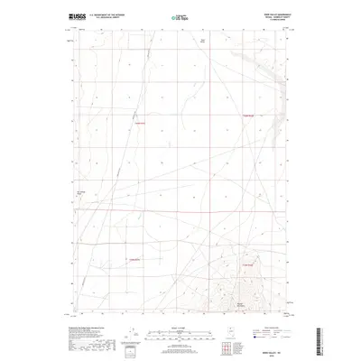
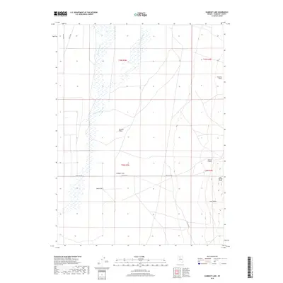
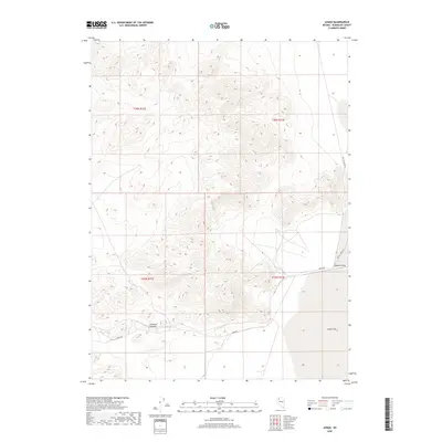
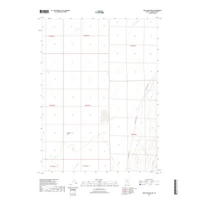
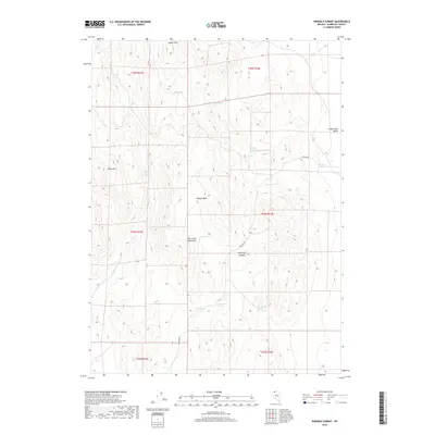
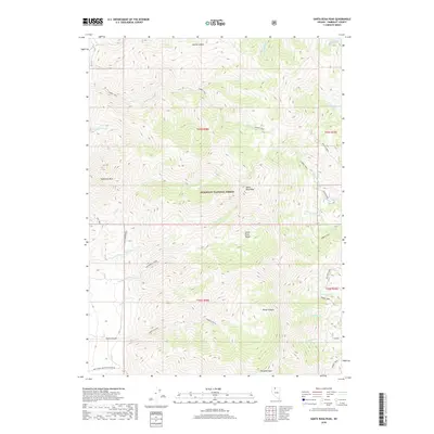
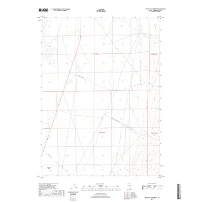
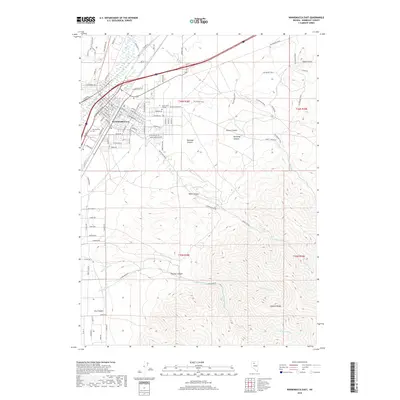
1893 Map of Disaster
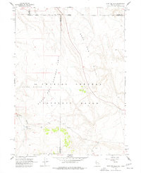
USGS Topo · Published 1909About this map
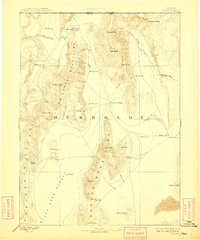
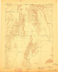
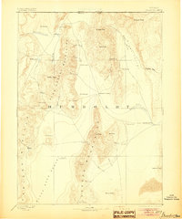
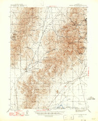
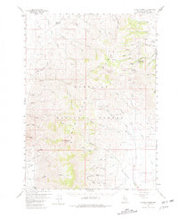
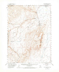
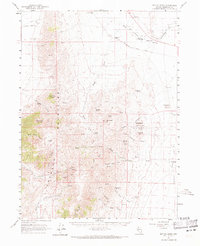
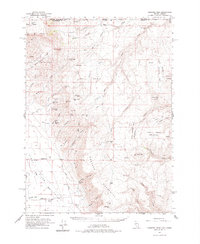
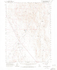
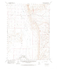
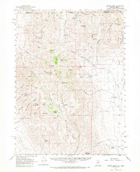
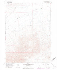
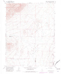
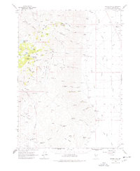
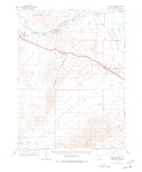
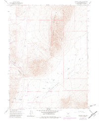
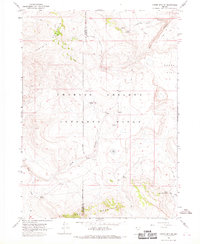
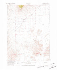
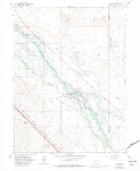
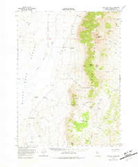
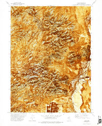
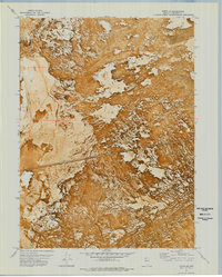
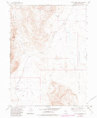
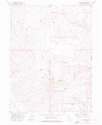
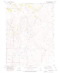
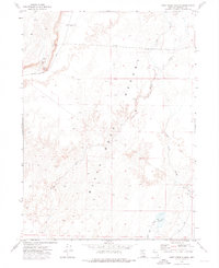
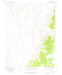
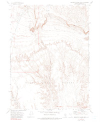
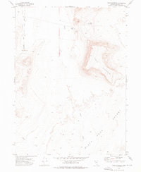
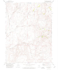
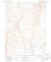
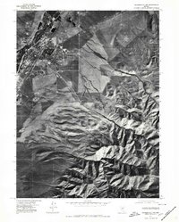
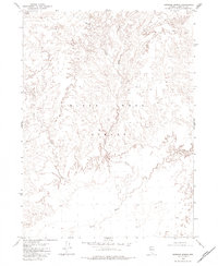
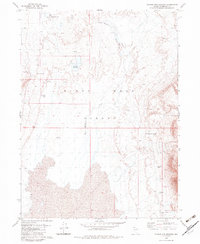
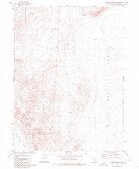
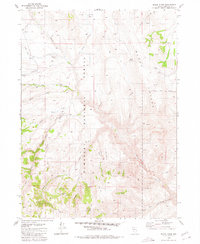
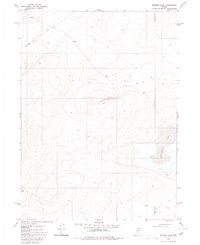
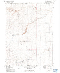
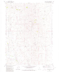
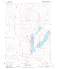
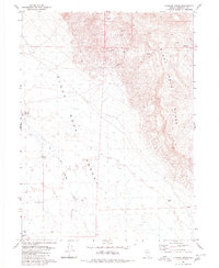
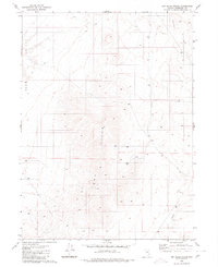
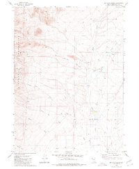
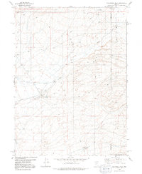
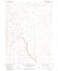
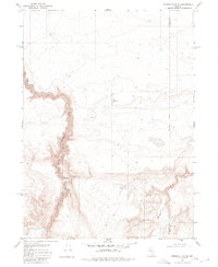
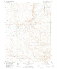
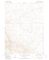
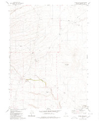
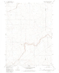
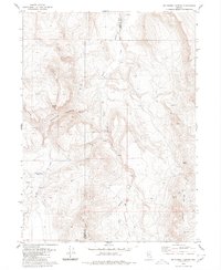
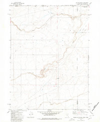
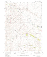
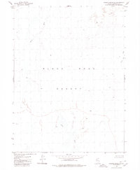
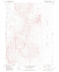
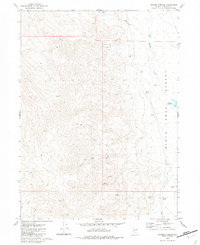
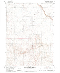
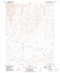
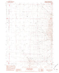
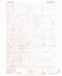
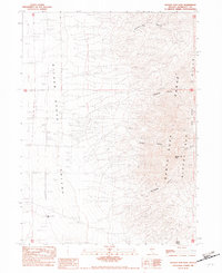
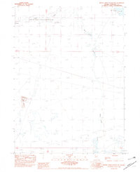
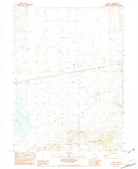
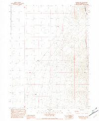
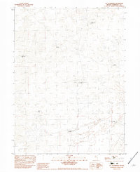
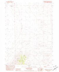
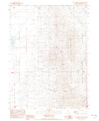
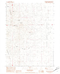
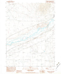
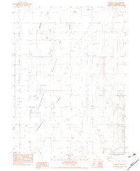
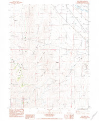
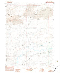
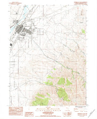
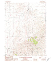
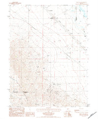
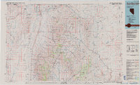
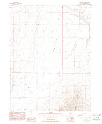
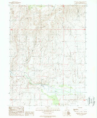
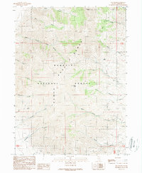
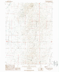
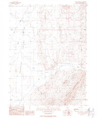
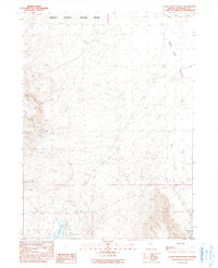
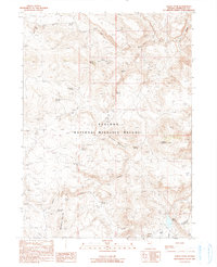
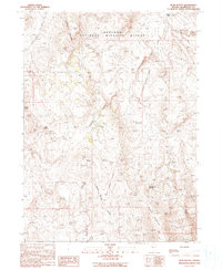
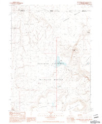
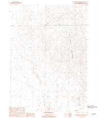
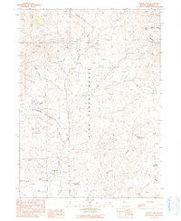
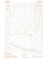
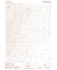
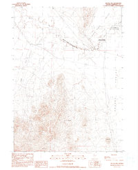
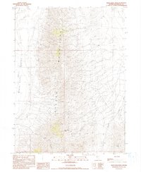
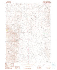
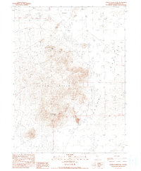
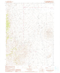
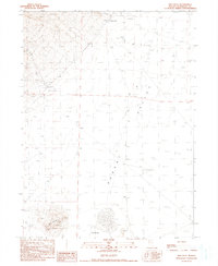
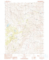
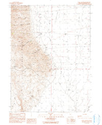
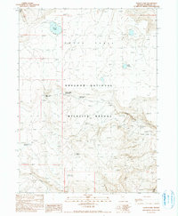
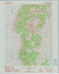
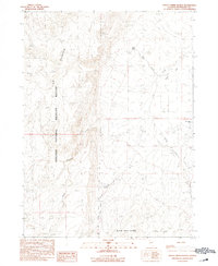
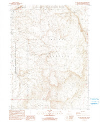
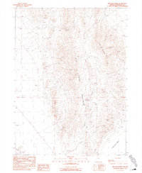
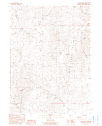
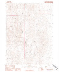
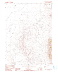
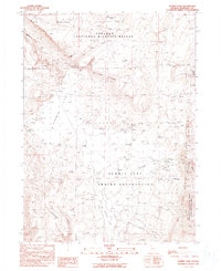
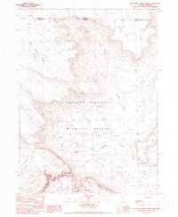
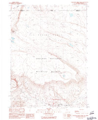
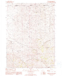
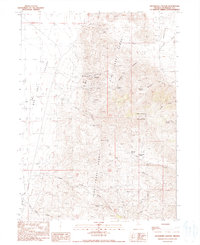
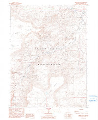
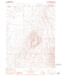
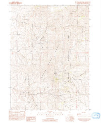
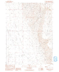
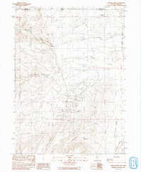
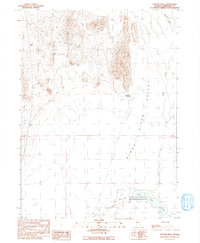
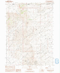
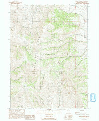
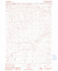
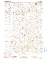
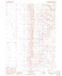
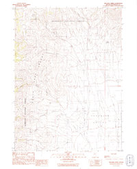
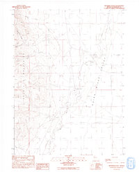
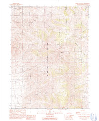
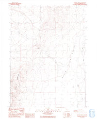
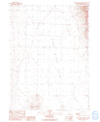
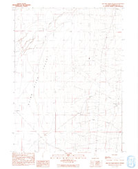
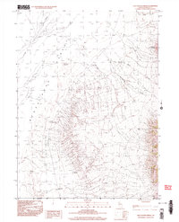
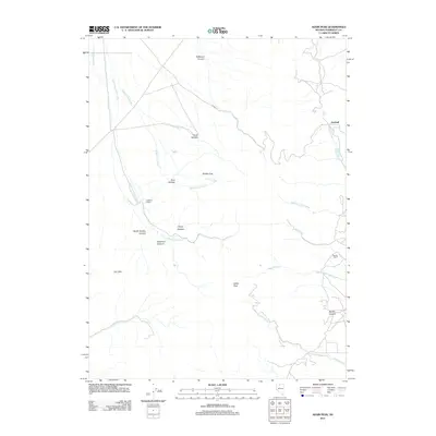
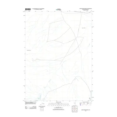
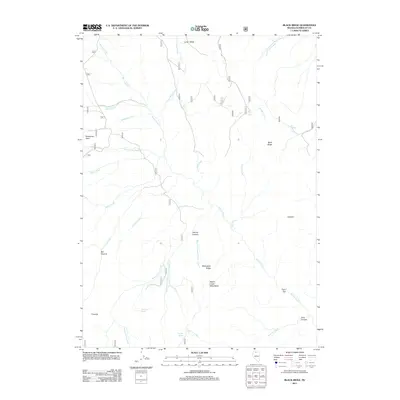
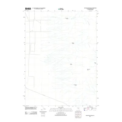
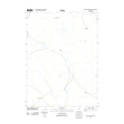
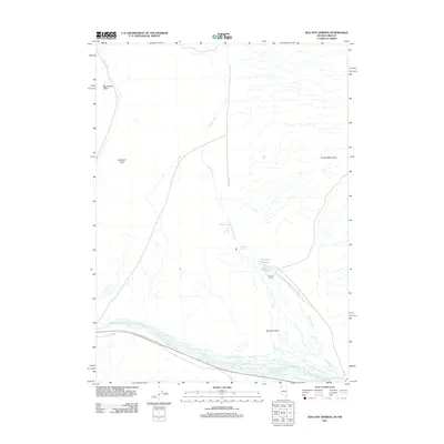
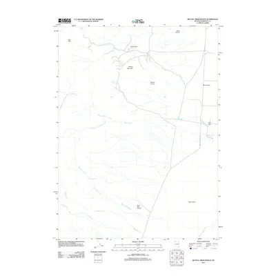
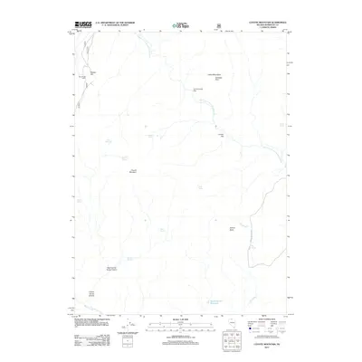
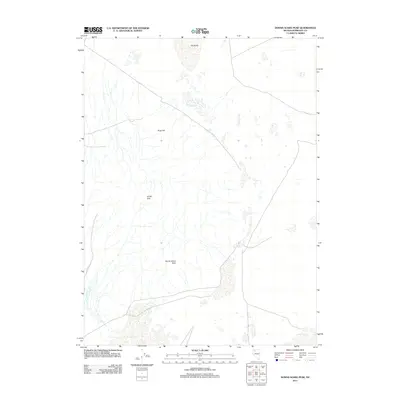
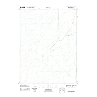
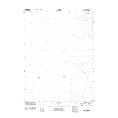
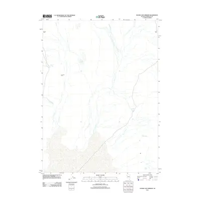
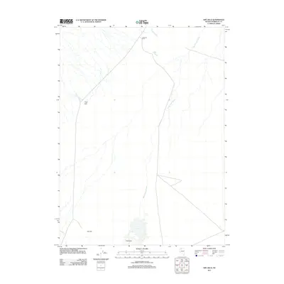
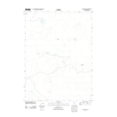
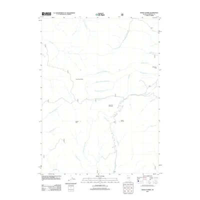
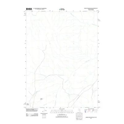
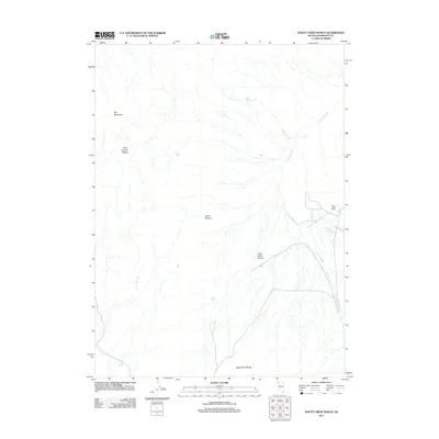
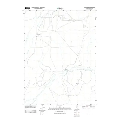
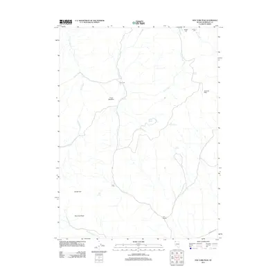
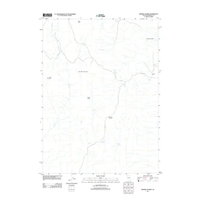
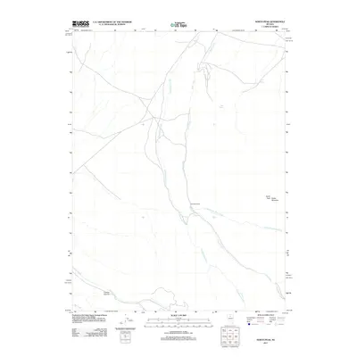
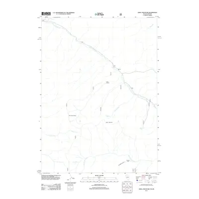
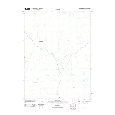
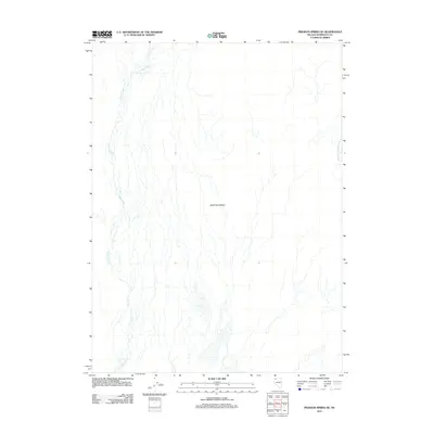
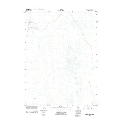
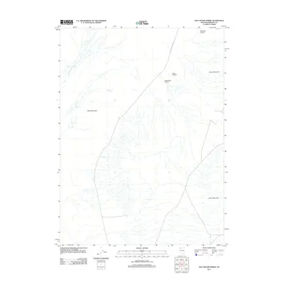
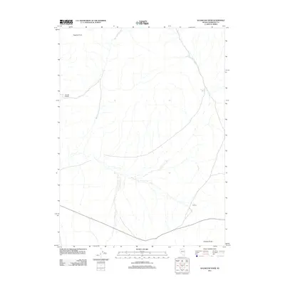
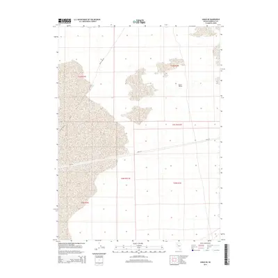
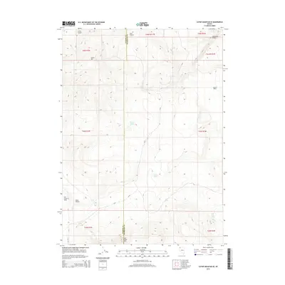
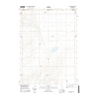
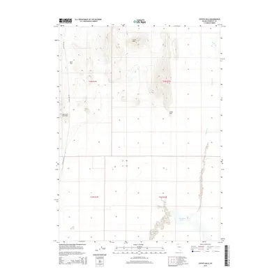
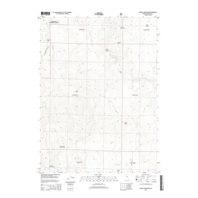
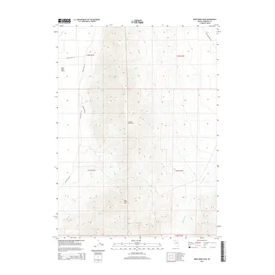
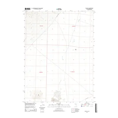
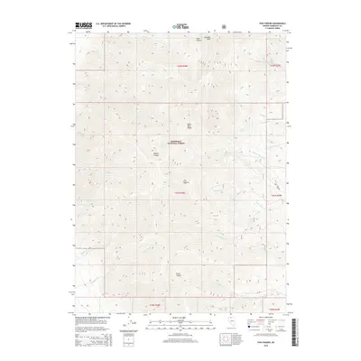
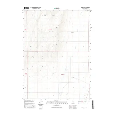
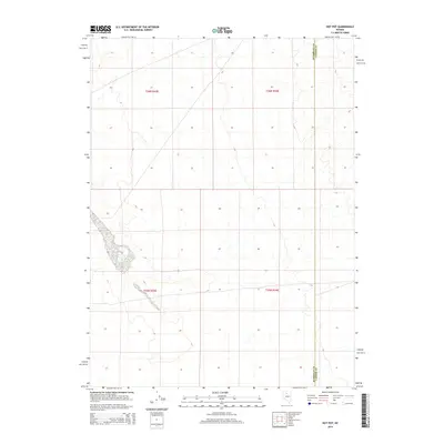
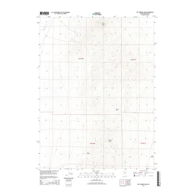
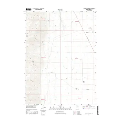
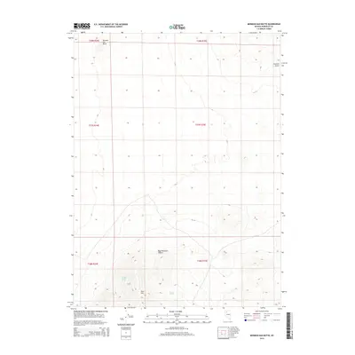
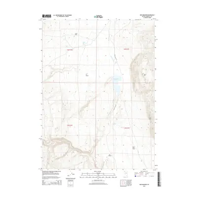
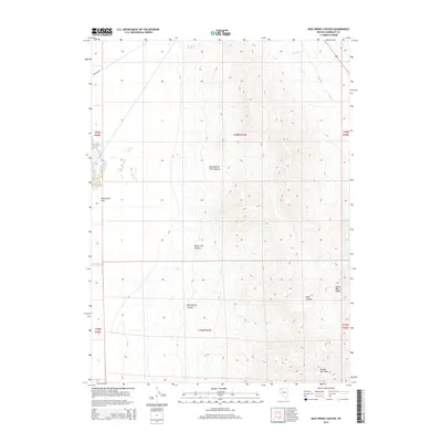
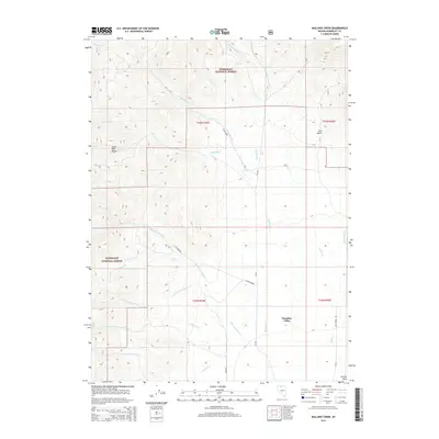
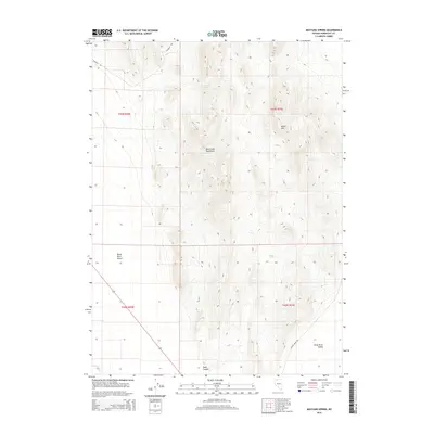
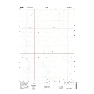
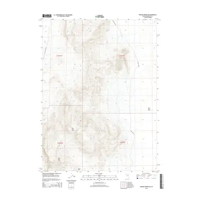
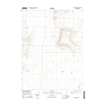
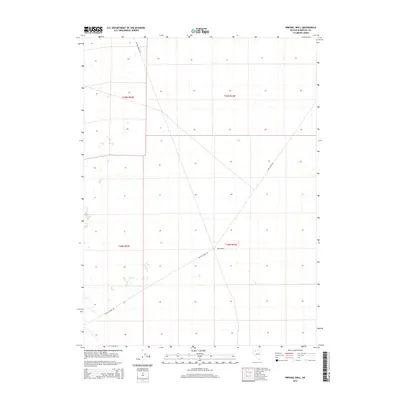
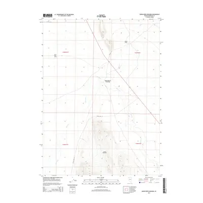
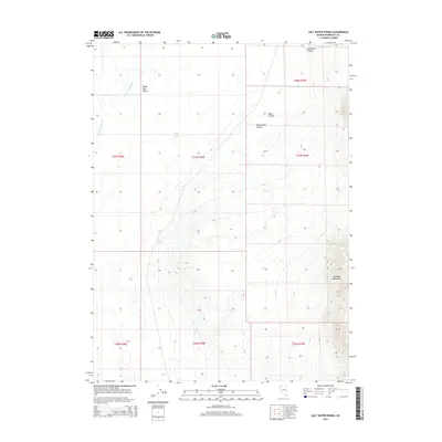
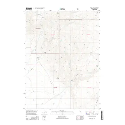
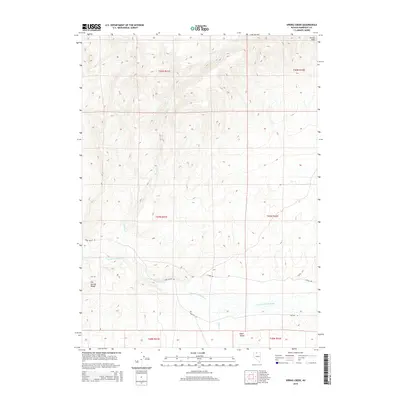
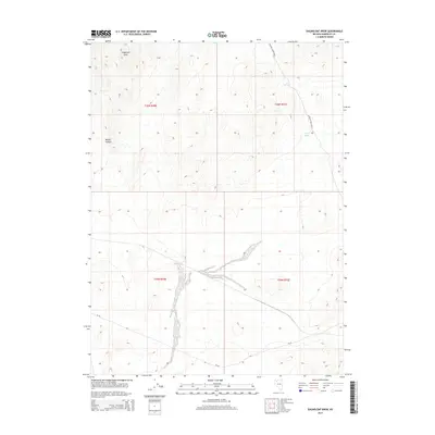
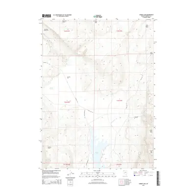
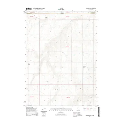
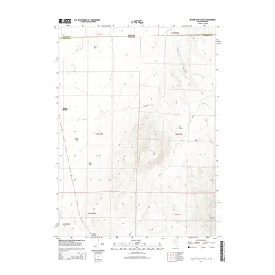
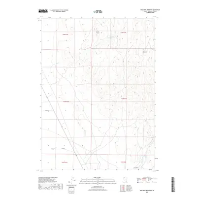
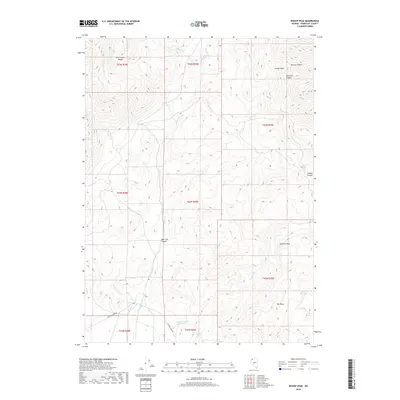
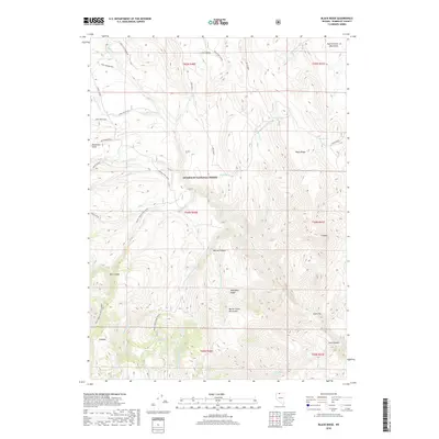
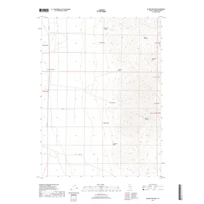
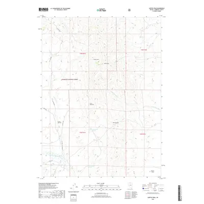
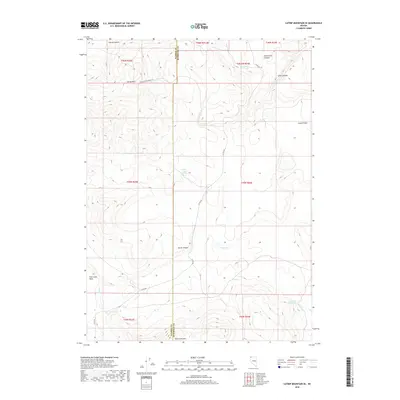
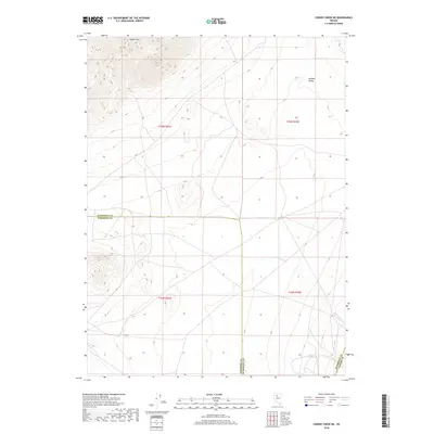
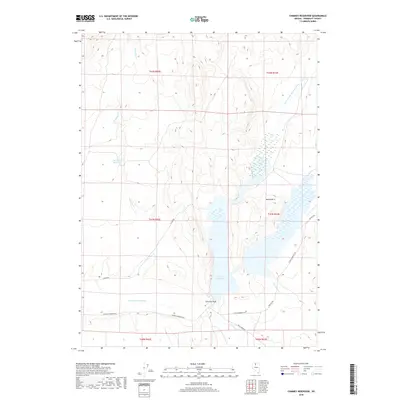
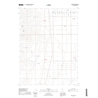
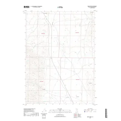
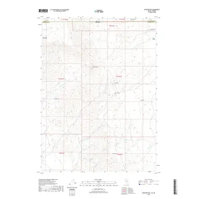
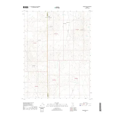
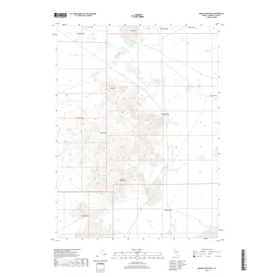
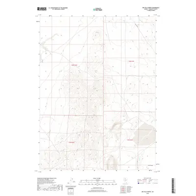
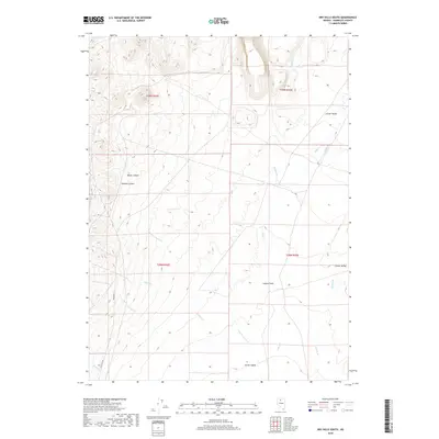
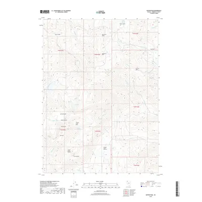
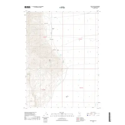
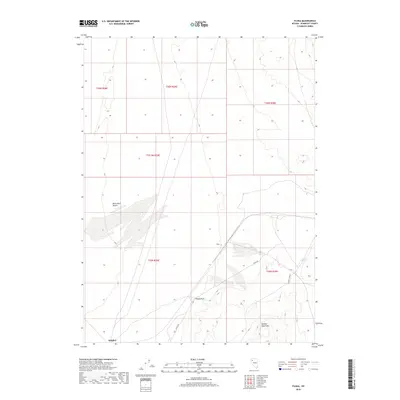
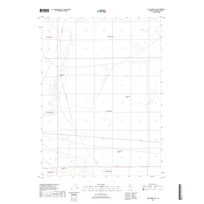
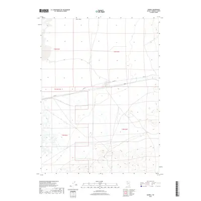
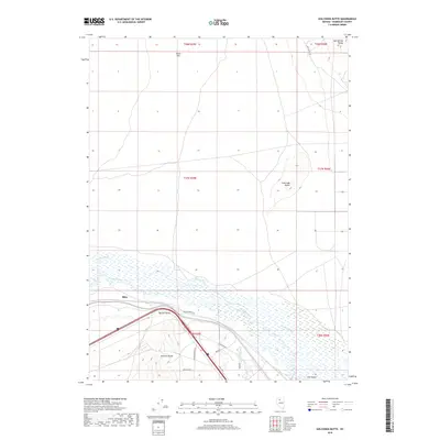
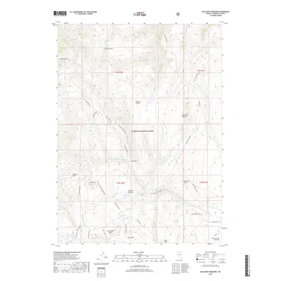
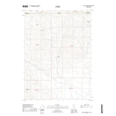
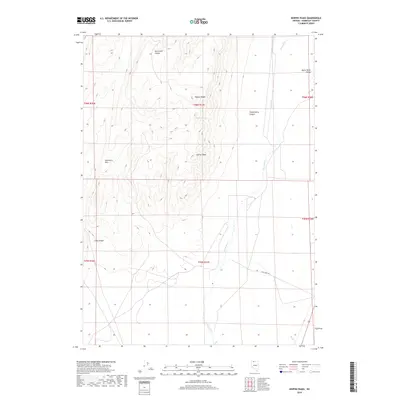
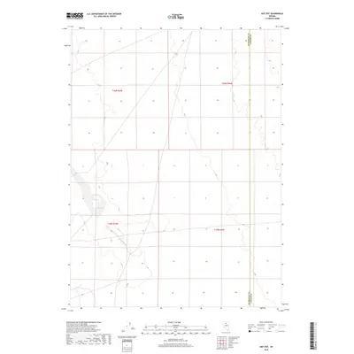
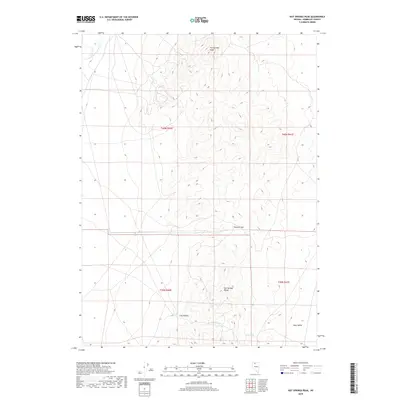
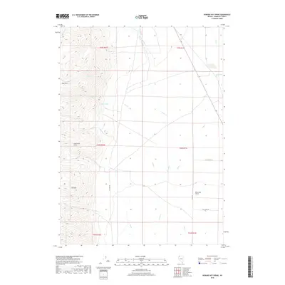
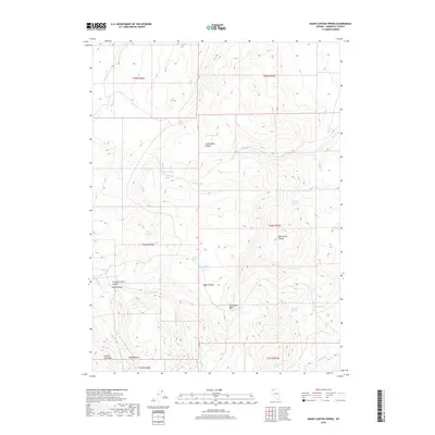
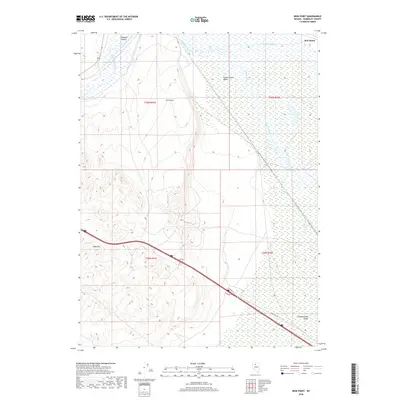
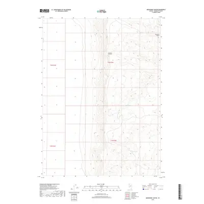
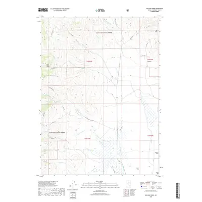
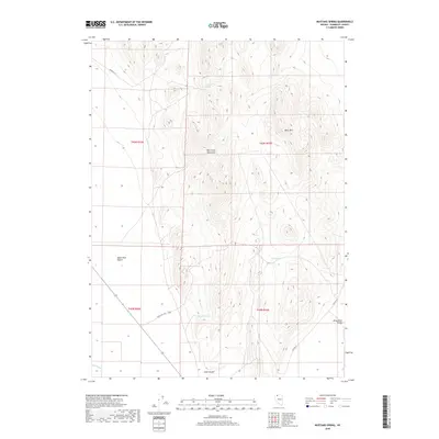
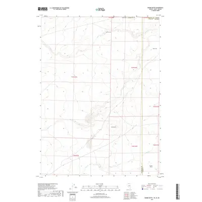
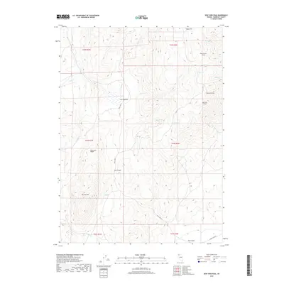
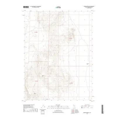
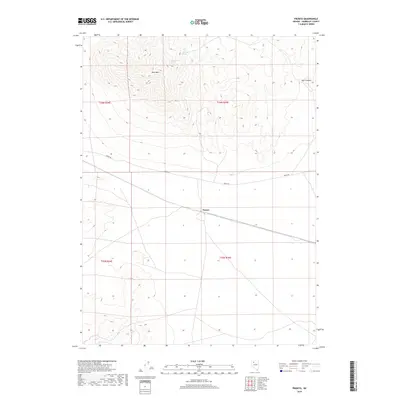
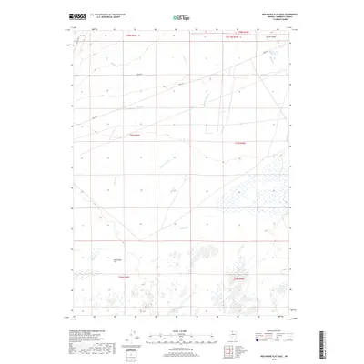
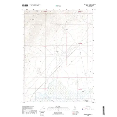
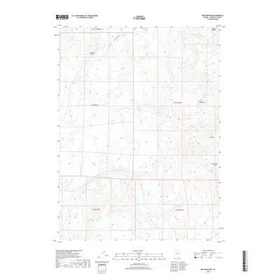
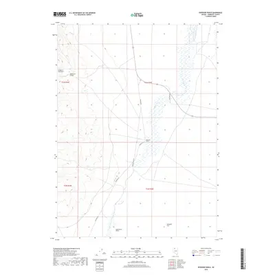
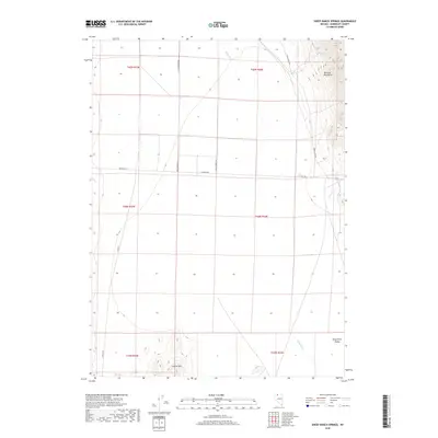
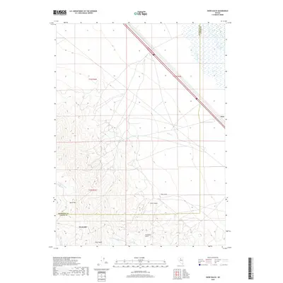
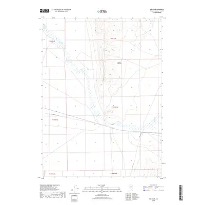
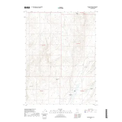
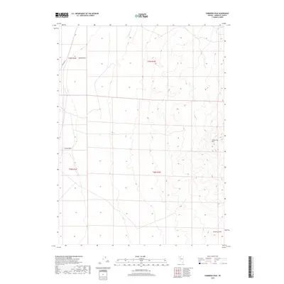
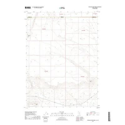
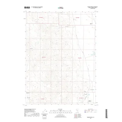
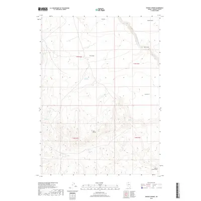
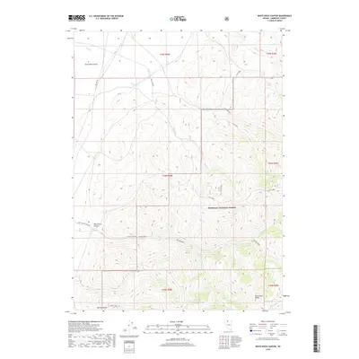
The high desert terrain of Northwest Nevada's Humboldt region is defined here by dramatic vertical relief and geothermal activity, as surveyed in the early 1880s by G.K. Gilbert. This reconnaissance map highlights the immense Pine Forest Mountains and Jackson Mountains, which loom over the Black Rock Desert. Water is the critical scarcity in this landscape, marked by the intermittent Sink of Quinn River and the thermal waters of numerous Hot Springs scattered throughout the basins.
Find a feature on this map
45 named features on this map. Tap any name to fly to it.
Don’t see what you’re looking for? This feature index may not catch every label — zoom into the map to look around manually.
Map Details
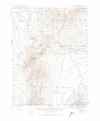
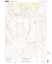
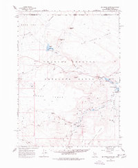
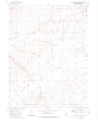
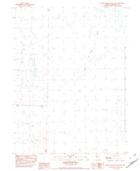
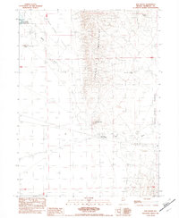
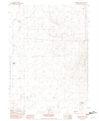
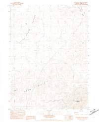
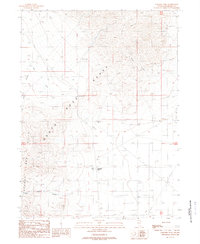
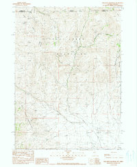
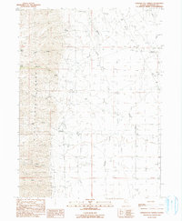
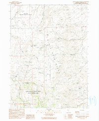
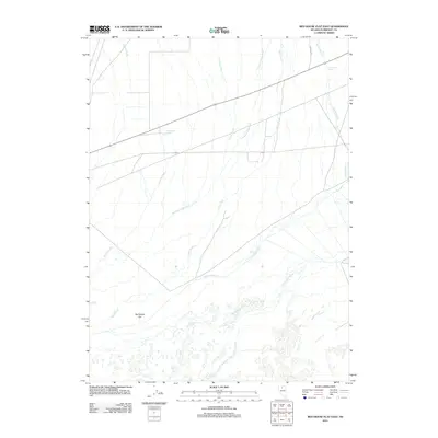
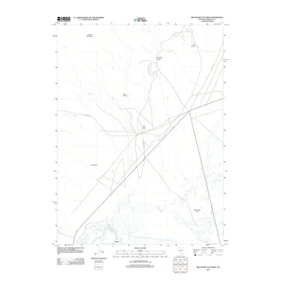
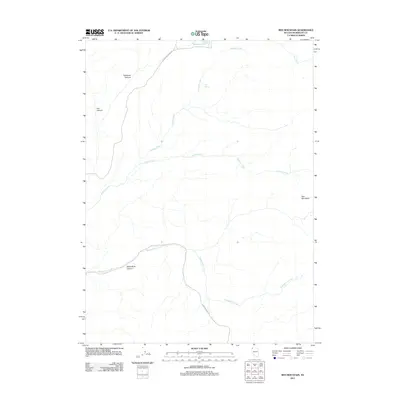
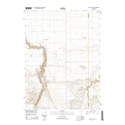
Editions of this 1893 Disaster Map
5 editions found

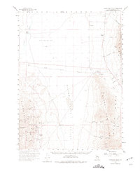
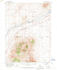
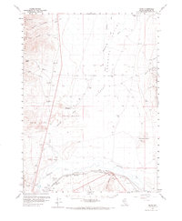
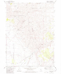
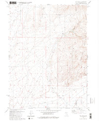
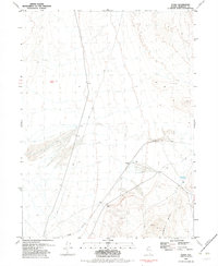
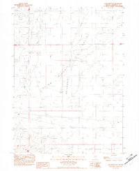
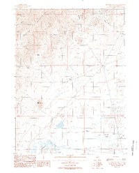
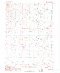
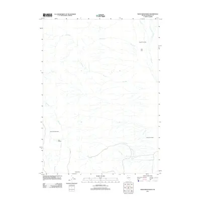
Historical Maps of Denio Through Time
879 maps found

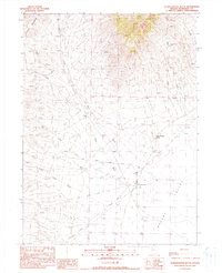
1882 Paradise
Humboldt County, NV

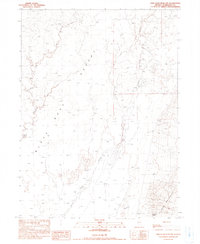
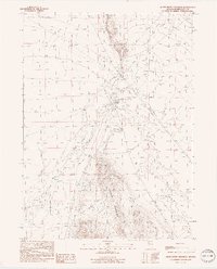
1886 Disaster
Humboldt County, NV
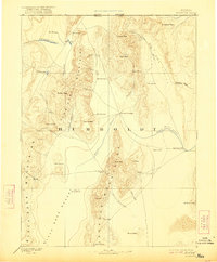
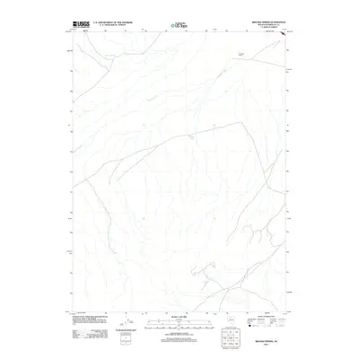
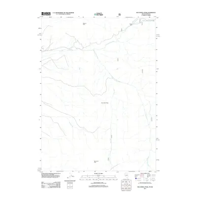
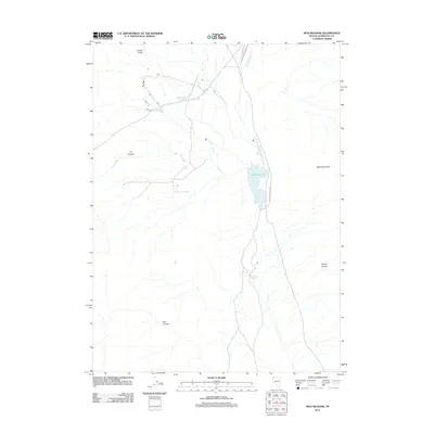
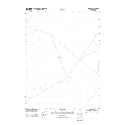
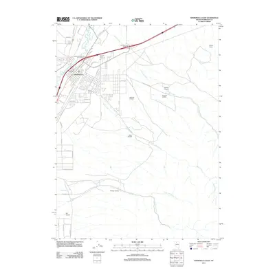
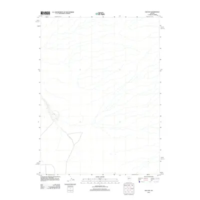
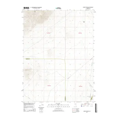
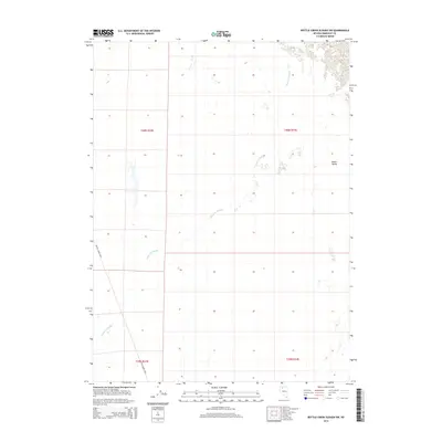
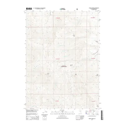
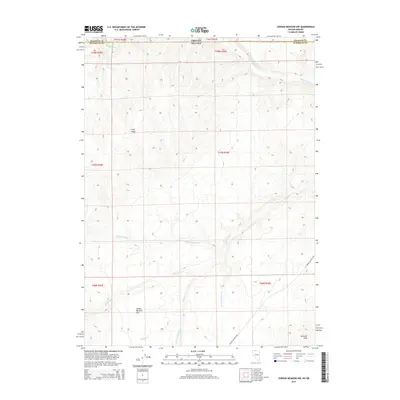
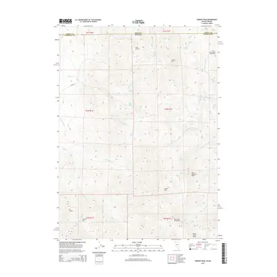
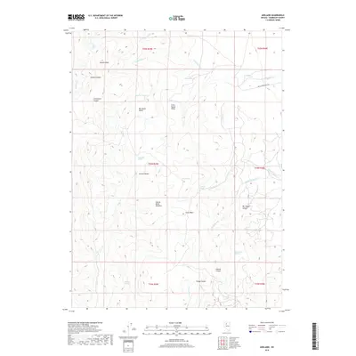
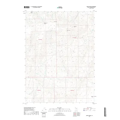
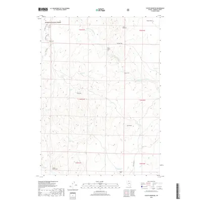
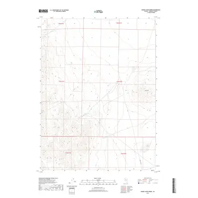
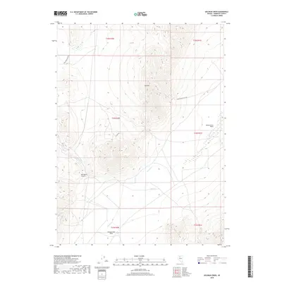
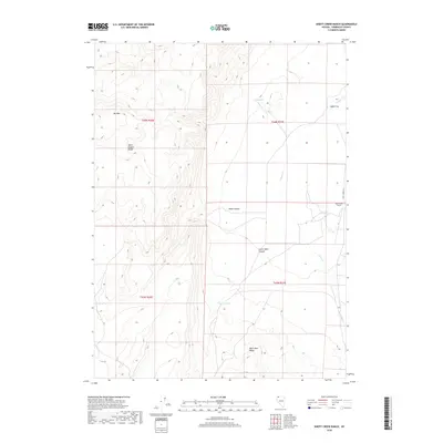
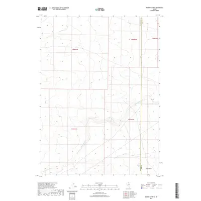
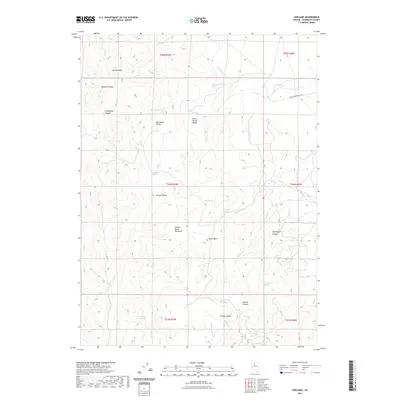
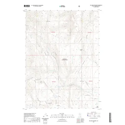
1893 Disaster
Humboldt County, NV
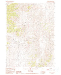
1893 Paradise
Humboldt County, NV
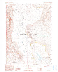
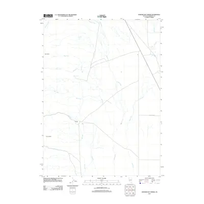
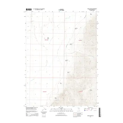
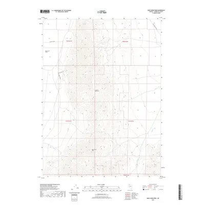
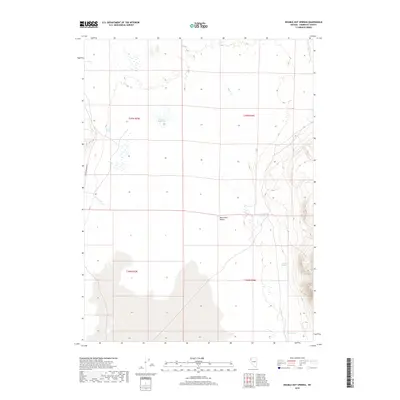
1945 Hot Springs
Humboldt County, NV
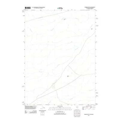
1945 Osgood Mountains
Humboldt County, NV
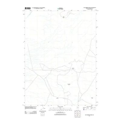
1947 Hot Springs Peak
Humboldt County, NV
1947 Osgood Mountains
Humboldt County, NV
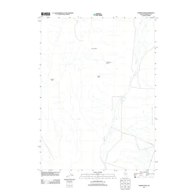
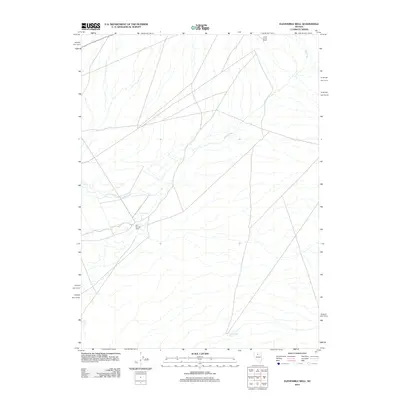
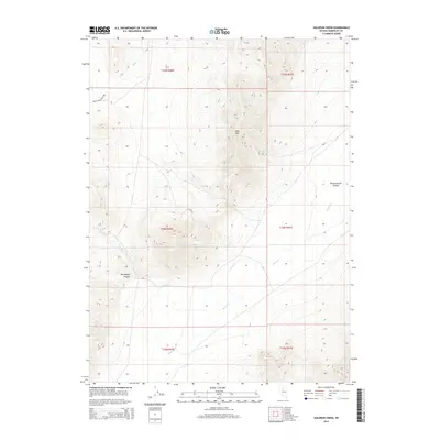
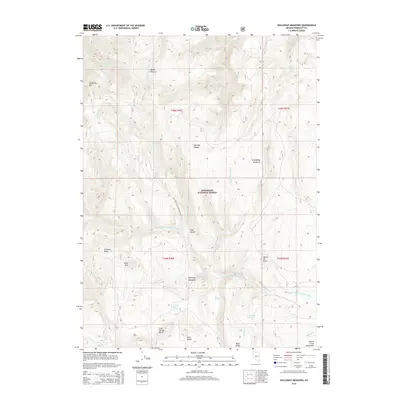
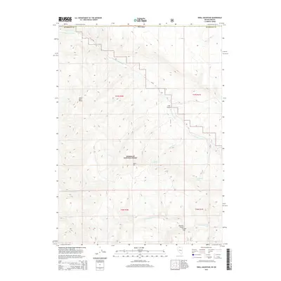
1958 Awakening Peak
Humboldt County, NV
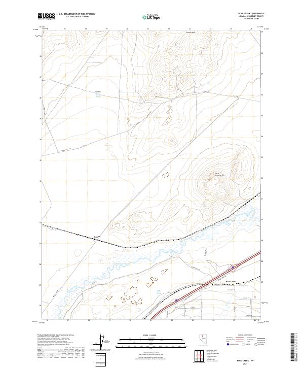
1958 Rose Creek
Humboldt County, NV
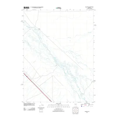
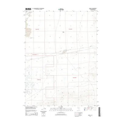
1959 Bliss
Humboldt County, NV
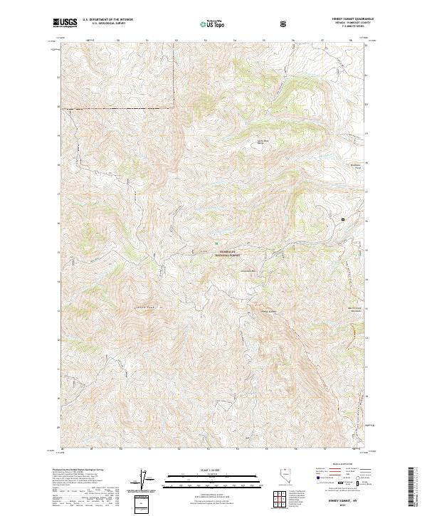
1959 Hinkey Summit
Humboldt County, NV
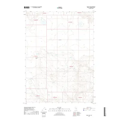
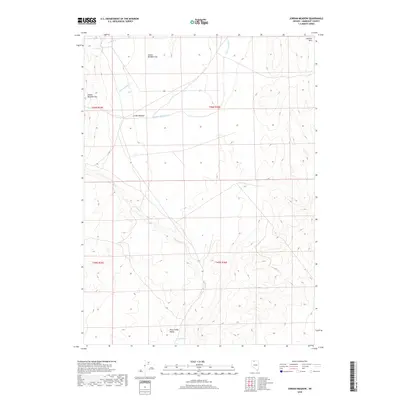
1959 Jordan Meadow
Humboldt County, NV
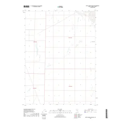
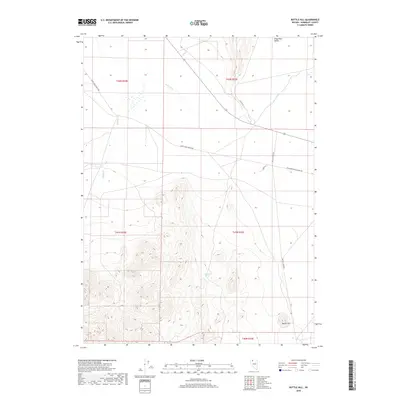
1961 Bottle Creek
Humboldt County, NV
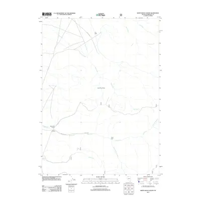
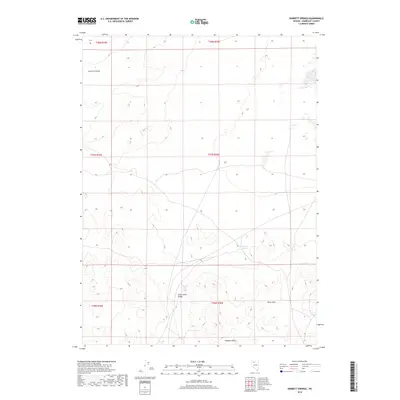
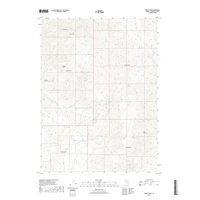
1961 Disaster Peak
Humboldt County, NV
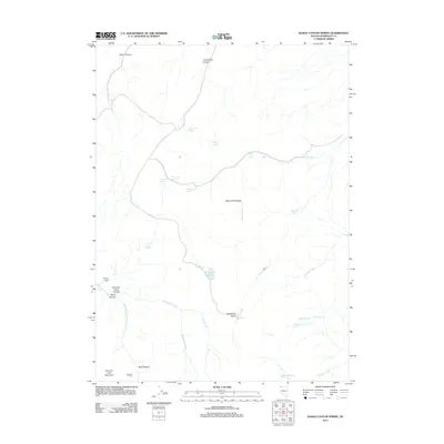
1961 Quinn River Crossing
Humboldt County, NV
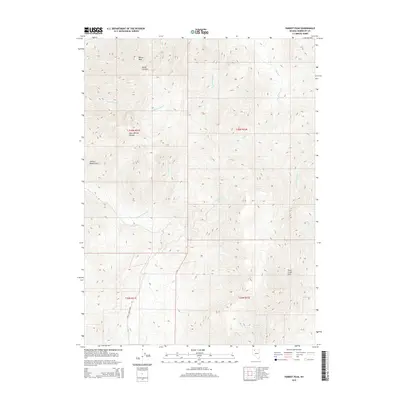
1961 Thacker Pass
Humboldt County, NV
1961 Trident Peak
Humboldt County, NV
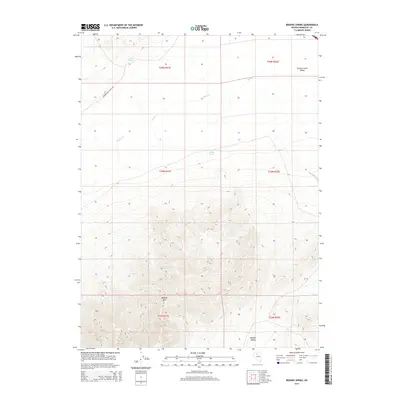
1965 Brooks Spring
Humboldt County, NV
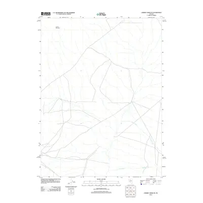
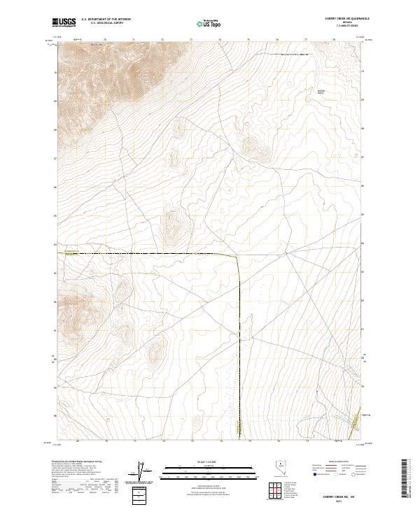
1965 Cherry Creek NE
Humboldt County, NV
1965 Duffer Peak
Humboldt County, NV
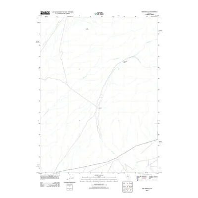
1965 Edna Mountain
Humboldt County, NV
1965 Goldrun Creek
Humboldt County, NV
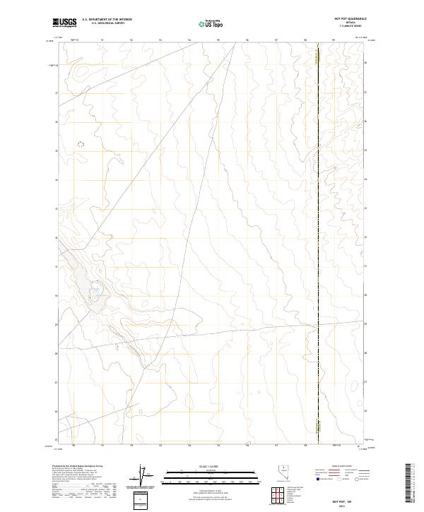
1965 Hot Pot
Humboldt County, NV
1965 Idaho Canyon
Humboldt County, NV
1965 Iron Point
Humboldt County, NV
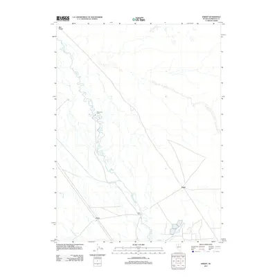
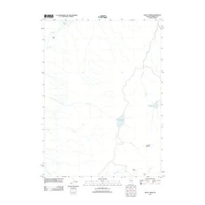
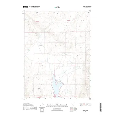
1965 Knight
Humboldt County, NV
1965 Railroad Point
Humboldt County, NV

1965 Rock Spring Table
Humboldt County, NV

1965 Smelser Pass
Humboldt County, NV
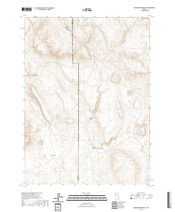
1966 Badger Mtn SE
Humboldt County, NV
1966 Big Spring Butte
Humboldt County, NV
1966 Blowout Mtn
Humboldt County, NV
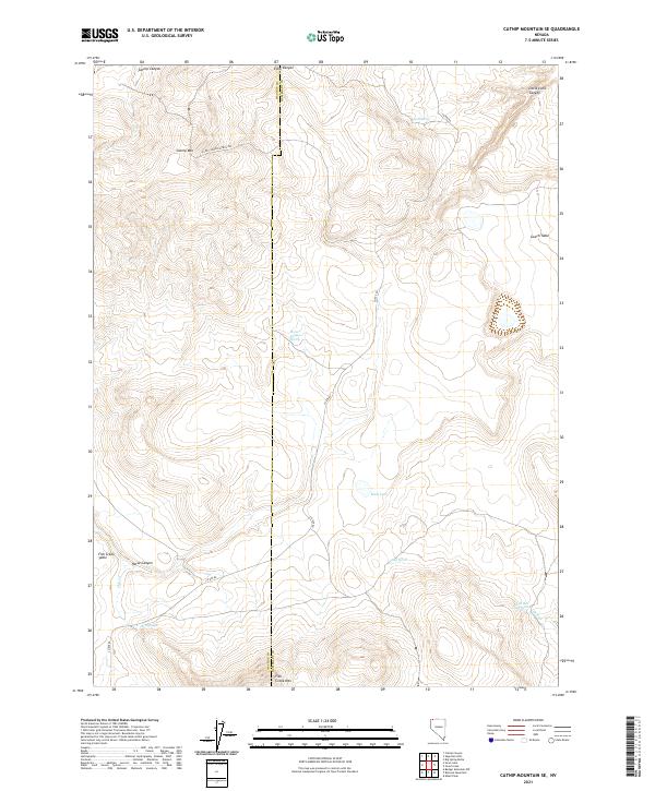
1966 Catnip Mtn. SE
Humboldt County, NV
1966 Donna Schee Peak
Humboldt County, NV
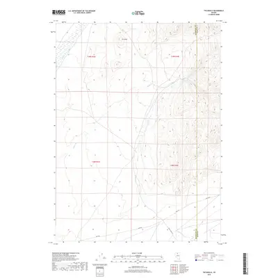
1966 Ellison
Humboldt County, NV
1966 King Lear Peak
Humboldt County, NV
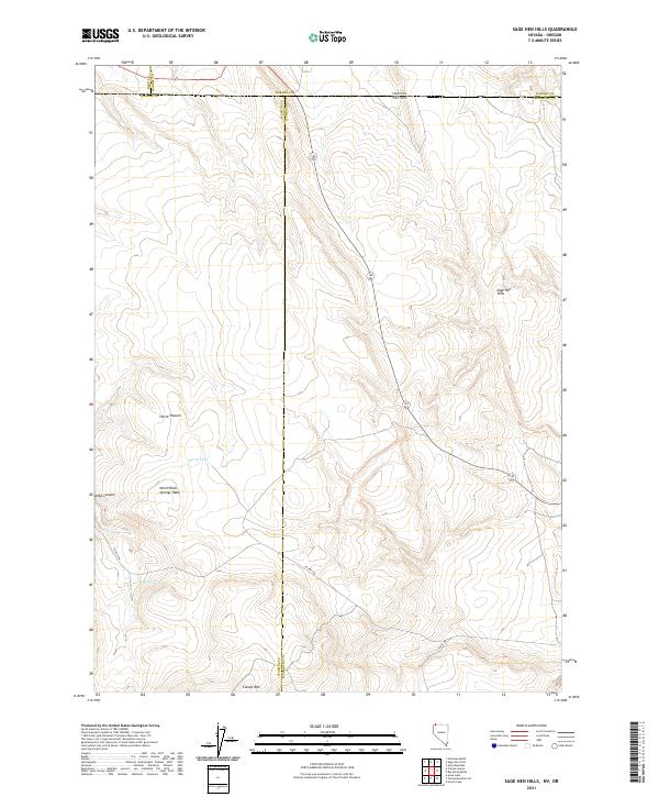
1966 Sage Hen Hills
Humboldt County, NV
1971 Jungo
Humboldt County, NV
1971 Jungo NE
Humboldt County, NV
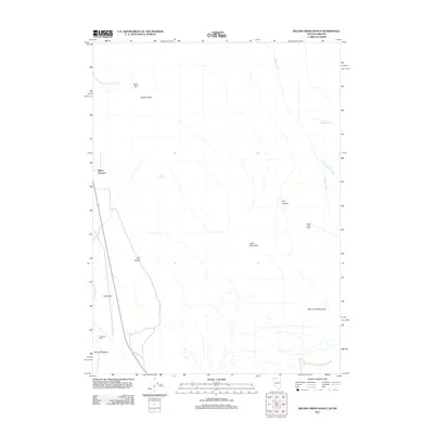
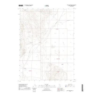
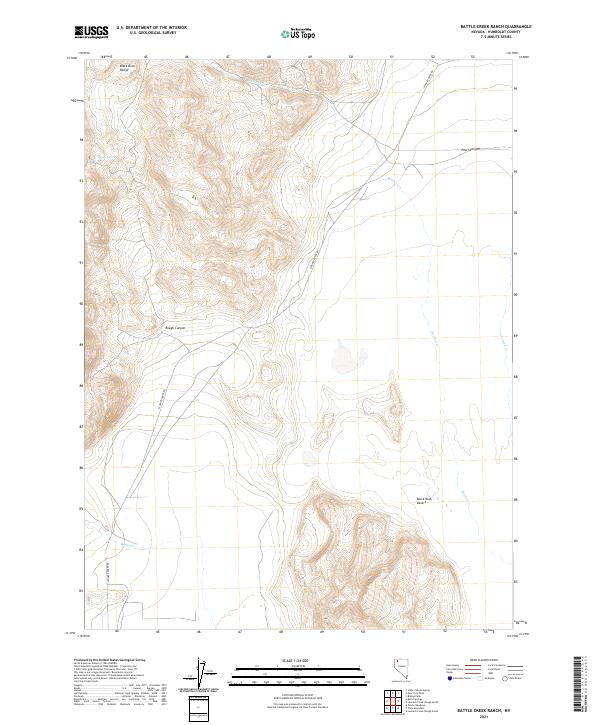
1972 Battle Creek Ranch
Humboldt County, NV
1972 Big Mountain
Humboldt County, NV
1972 Burnt Springs
Humboldt County, NV
1972 Deer Creek Slough
Humboldt County, NV
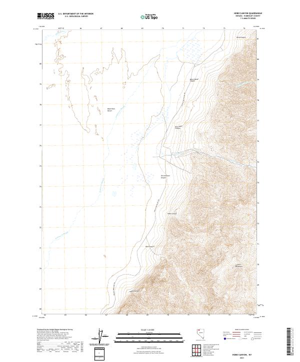
1972 Hobo Canyon
Humboldt County, NV
1972 Leonard Cr. Slough North
Humboldt County, NV
1972 Leonard Cr. Slough South
Humboldt County, NV
1972 Mud Meadow
Humboldt County, NV
1972 Paiute Meadows
Humboldt County, NV
1972 Pinto Mountain
Humboldt County, NV
1972 Red Mountain
Humboldt County, NV
1972 Soldier Meadow
Humboldt County, NV
1975 Winnemucca NW
Humboldt County, NV
1979 Crowbar Spring
Humboldt County, NV
1979 Double Hot Springs
Humboldt County, NV
1979 Pidgeon Spring
Humboldt County, NV
1980 Black Ridge
Humboldt County, NV
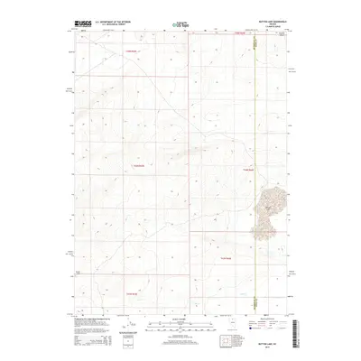
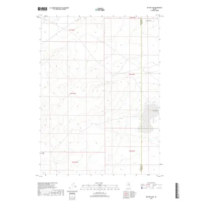
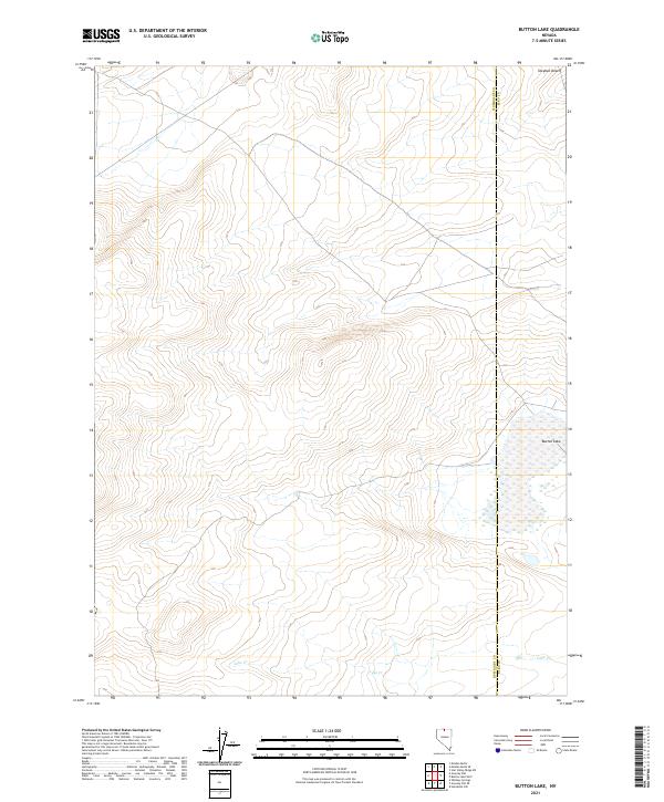
1980 Button Lake
Humboldt County, NV
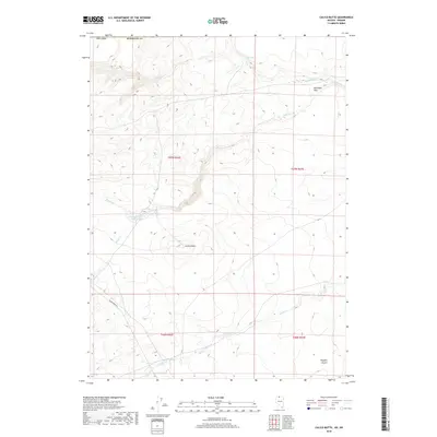
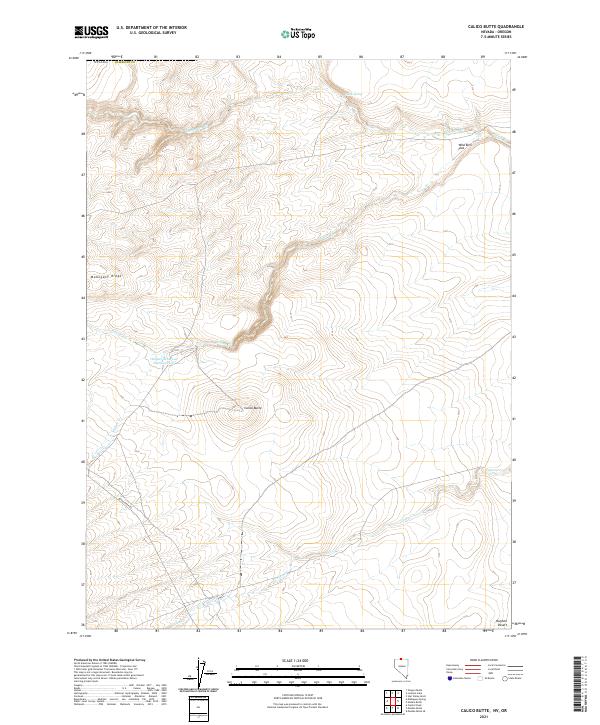
1980 Calico Butte
Humboldt County, NV
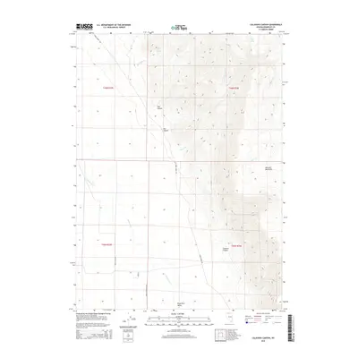
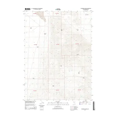
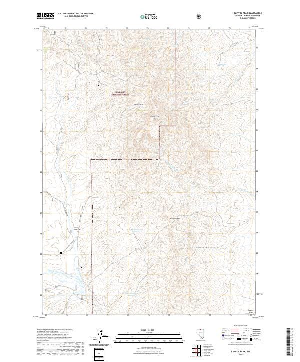
1980 Capitol Peak
Humboldt County, NV
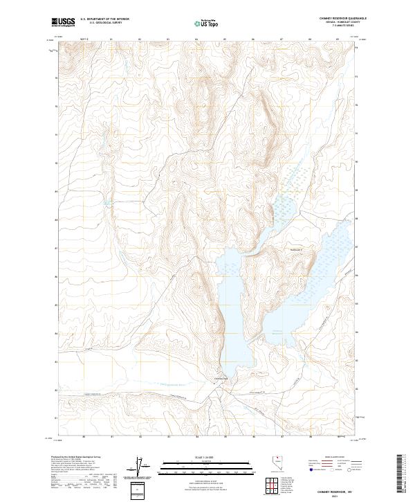
1980 Chimney Reservoir
Humboldt County, NV
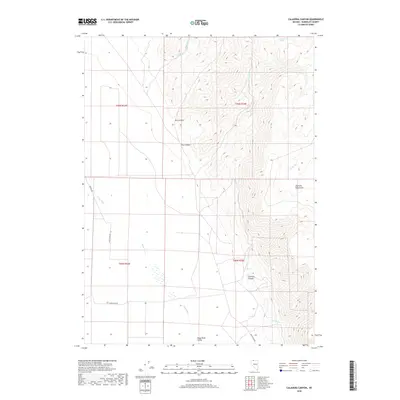
1980 Clapper Creek
Humboldt County, NV
1980 Coyote Mtn.
Humboldt County, NV
1980 Division Peak
Humboldt County, NV
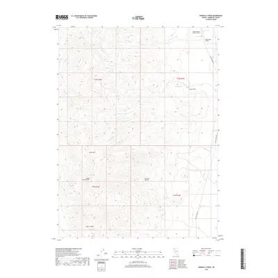
1980 Donnelly Creek
Humboldt County, NV
1980 Dry Hills North
Humboldt County, NV
1980 Dry Hills South
Humboldt County, NV
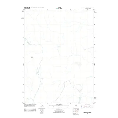
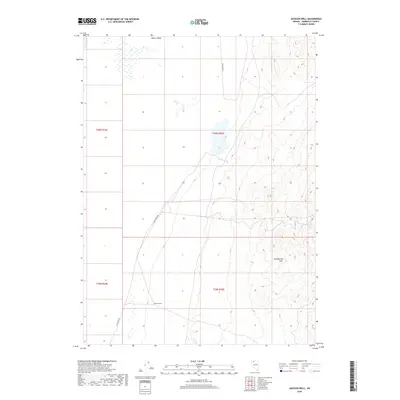
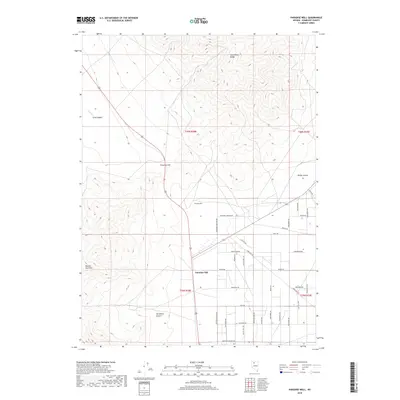
1980 Elevenmile Well
Humboldt County, NV
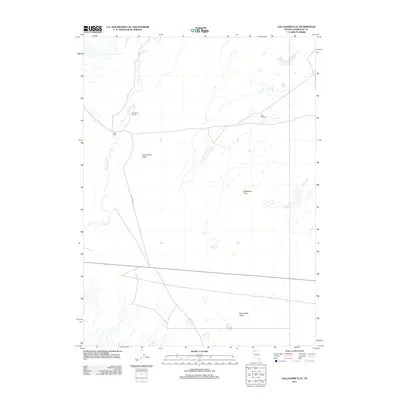
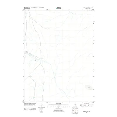
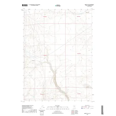
1980 Greeley Flat
Humboldt County, NV
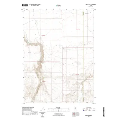
1980 Greeley Flat SE
Humboldt County, NV
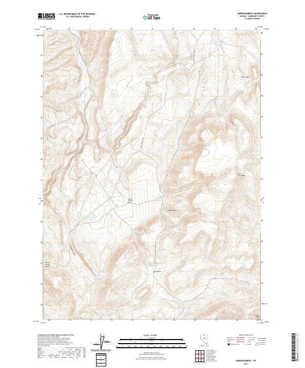
1980 Hardscrabble
Humboldt County, NV
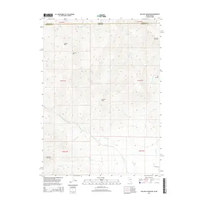
1980 Holloway Meadows
Humboldt County, NV
1980 Kenny Creek
Humboldt County, NV
1980 Layton Spring
Humboldt County, NV
1980 Mahogany Spring
Humboldt County, NV
1980 Maiden Butte
Humboldt County, NV
1980 Maiden Butte SE
Humboldt County, NV
1980 Mc Connel Canyon
Humboldt County, NV
1980 Nadine Butte
Humboldt County, NV
1980 Odell Mountain
Humboldt County, NV
1980 Pidgeon Spring SE
Humboldt County, NV
1980 Pidgeon Spring SW
Humboldt County, NV
1980 Red House Flat East
Humboldt County, NV
1980 Spring City
Humboldt County, NV
1980 The Knolls
Humboldt County, NV
1980 Wagner Springs
Humboldt County, NV
1980 Whiskey Springs
Humboldt County, NV
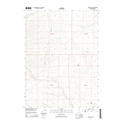
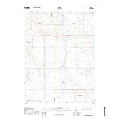
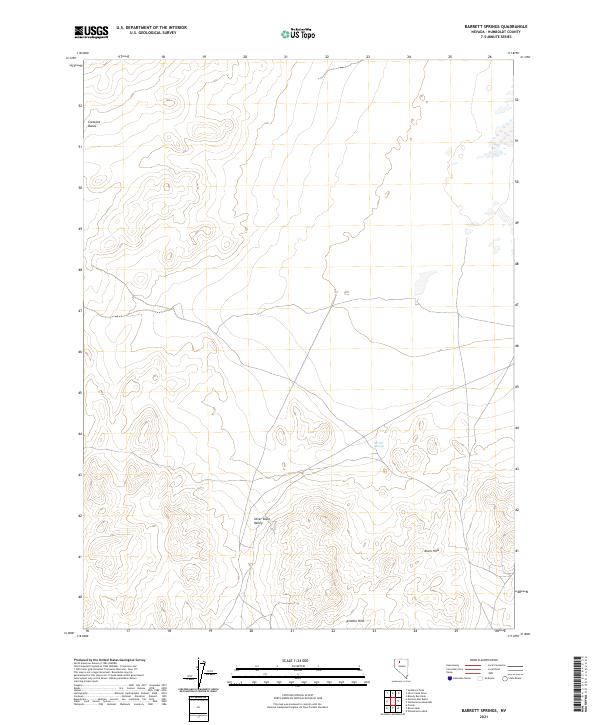
1981 Barrett Springs
Humboldt County, NV
1981 Rabbithole NE
Humboldt County, NV
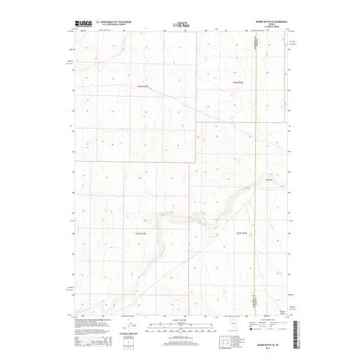
1981 Sugarloaf Knob
Humboldt County, NV
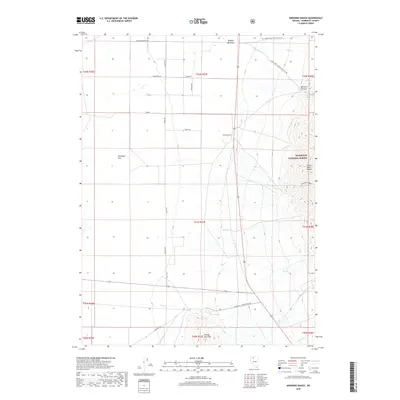
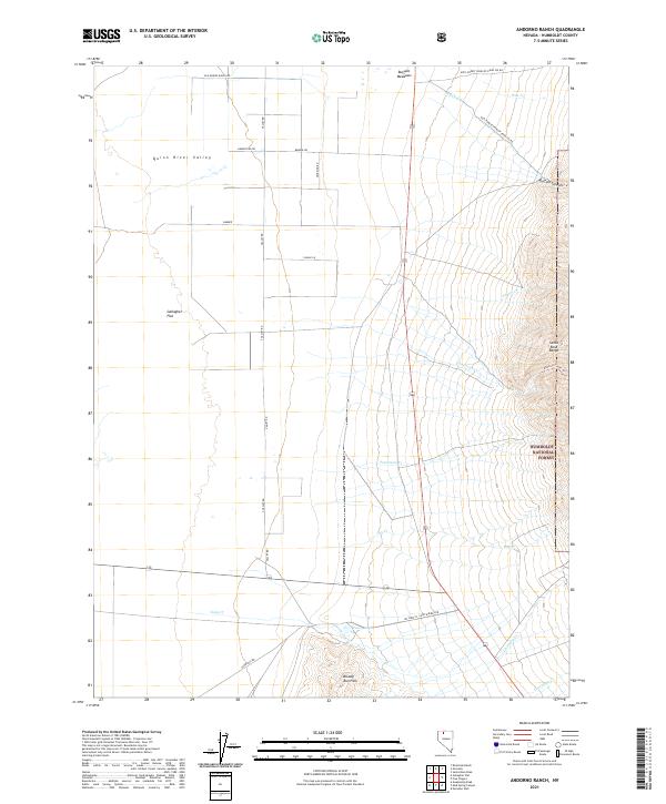
1982 Andorno Ranch
Humboldt County, NV
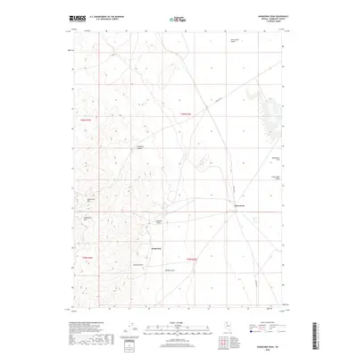
1982 Awakening Peak
Humboldt County, NV
1982 Bloody Run Peak
Humboldt County, NV
1982 Bottle Creek Slough NW
Humboldt County, NV
1982 Bottle Creek Slough SW
Humboldt County, NV
1982 Floka
Humboldt County, NV
1982 Gallagher Flat
Humboldt County, NV
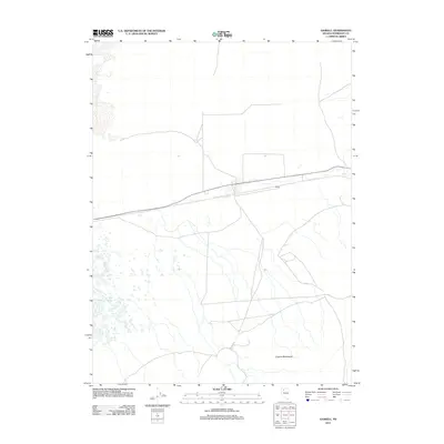
1982 Gaskell
Humboldt County, NV
1982 Jackson Well
Humboldt County, NV
1982 Lay Waterhole
Humboldt County, NV
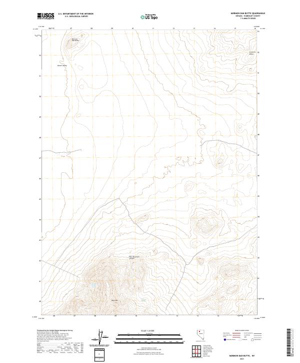
1982 Mormon Dan Butte
Humboldt County, NV
1982 Mud Spring Canyon
Humboldt County, NV
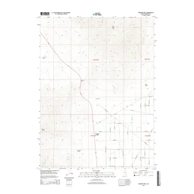
1982 Presnel Well
Humboldt County, NV
1982 Pronto
Humboldt County, NV
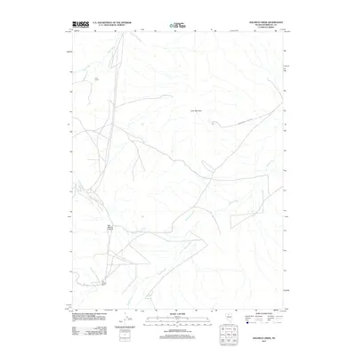
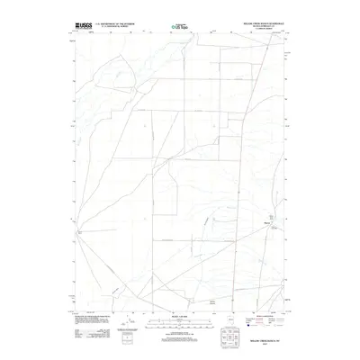
1982 Rose Creek
Humboldt County, NV
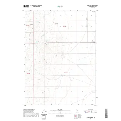
1982 Silver State Draw
Humboldt County, NV
1982 Sod House
Humboldt County, NV
1982 Sombrero Peak
Humboldt County, NV
1982 Winnemucca Mtn
Humboldt County, NV
1982 Winnemucca West
Humboldt County, NV
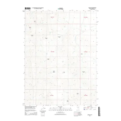
1983 Adelaide
Humboldt County, NV
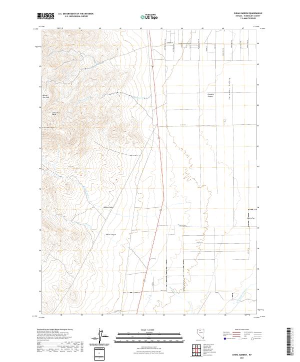
1983 China Garden
Humboldt County, NV
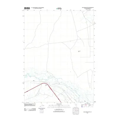
1983 Golconda Butte
Humboldt County, NV
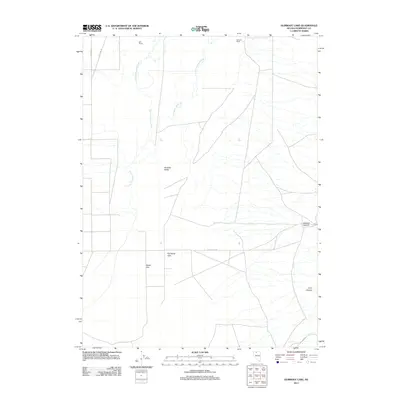
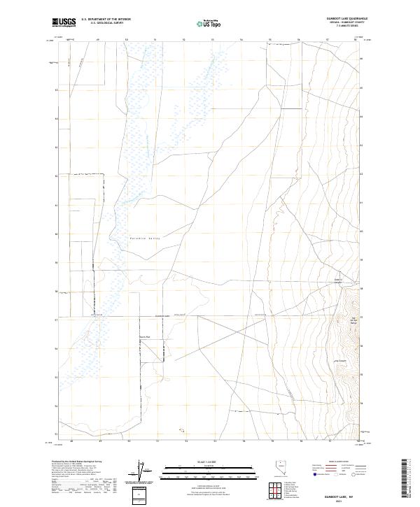
1983 Gumboot Lake
Humboldt County, NV
1983 Pole Creek
Humboldt County, NV
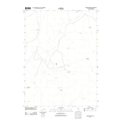
1983 Weso
Humboldt County, NV
1983 Winnemucca East
Humboldt County, NV
1984 North Peak
Humboldt County, NV
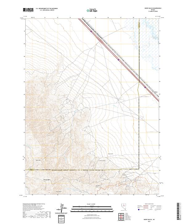
1984 Snow Gulch
Humboldt County, NV
1985 Jackson Mts
Humboldt County, NV
1985 Osgood Mts
Humboldt County, NV
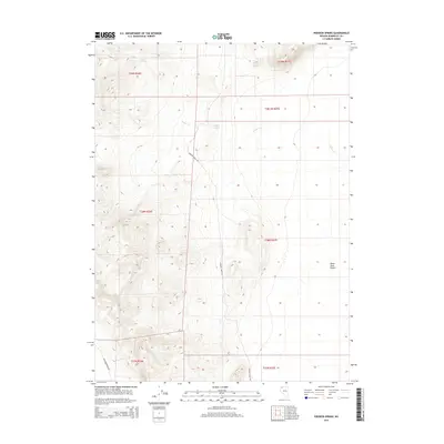
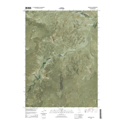
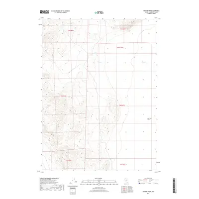
1985 Quinn River Valley
Humboldt County, NV
1988 Adam Peak
Humboldt County, NV
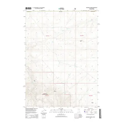
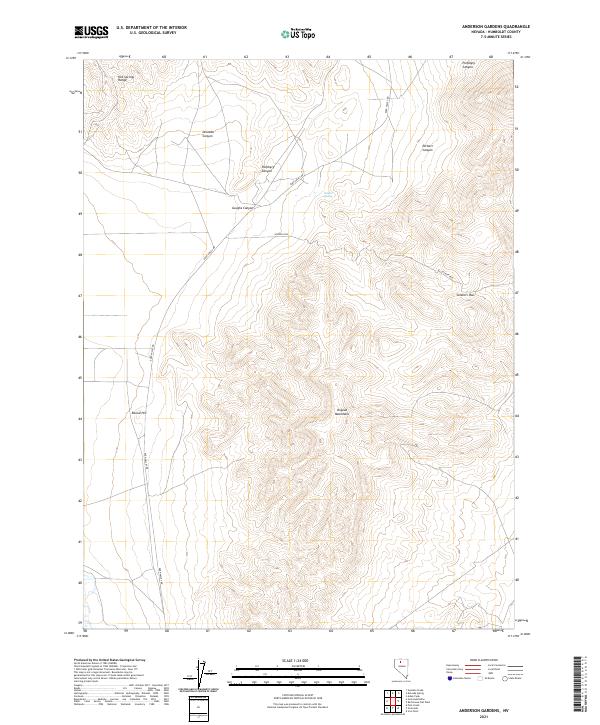
1988 Anderson Gardens
Humboldt County, NV
1988 Delvada Spring
Humboldt County, NV
1988 Eden Valley
Humboldt County, NV
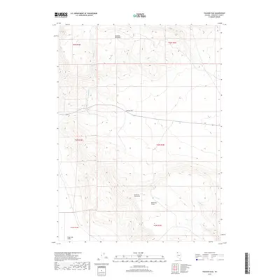
1988 Fairbanks Canyon
Humboldt County, NV
1988 Five Fingers
Humboldt County, NV
1988 Hot Springs Peak
Humboldt County, NV
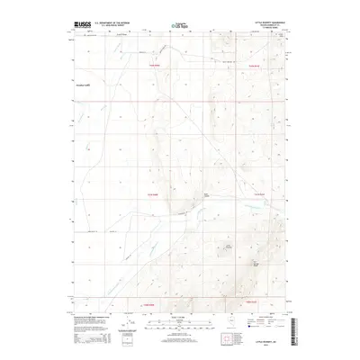
1988 Little Poverty
Humboldt County, NV
1988 Paradise Well
Humboldt County, NV
1988 Red House Flat West
Humboldt County, NV
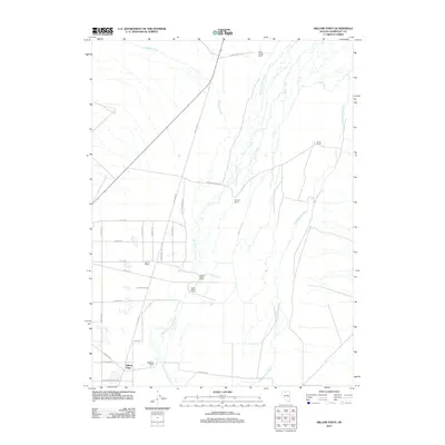
1988 Willow Point
Humboldt County, NV
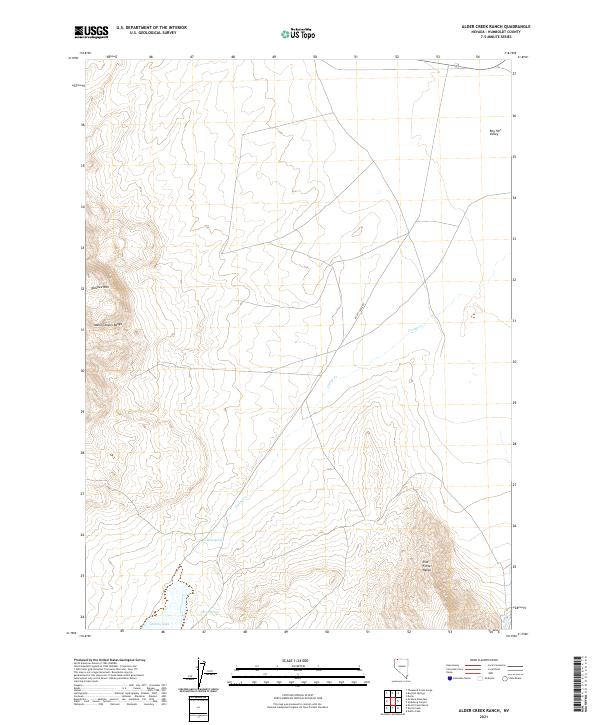
1990 Alder Creek Ranch
Humboldt County, NV
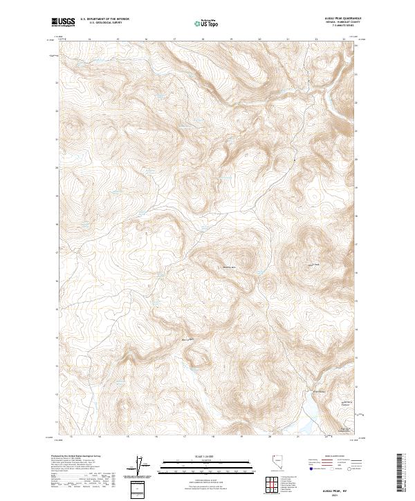
1990 Alkali Peak
Humboldt County, NV
1990 Bear Buttes
Humboldt County, NV
1990 Big Spring Butte
Humboldt County, NV
1990 Bilk Creek Reservoir
Humboldt County, NV
1990 Bishop Peak
Humboldt County, NV
1990 Bog Hot Springs
Humboldt County, NV
1990 Bottle Creek Ranch
Humboldt County, NV
1990 Bottle Hill
Humboldt County, NV
1990 Deer Creek Peak
Humboldt County, NV
1990 Denio Summit
Humboldt County, NV
1990 Donna Schee Peak
Humboldt County, NV
1990 Donna Schee Spring
Humboldt County, NV
1990 Dry Hills
Humboldt County, NV
1990 Duffer Peak
Humboldt County, NV
1990 Dyke Canyon
Humboldt County, NV
1990 Gooch Lake
Humboldt County, NV
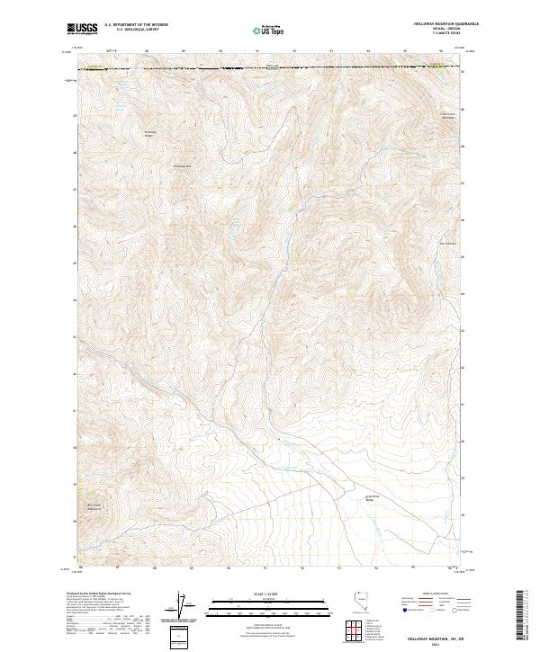
1990 Holloway Mountain
Humboldt County, NV
1990 Howard Hot Spring
Humboldt County, NV
1990 Idaho Canyon Spring
Humboldt County, NV
1990 King Lear Peak
Humboldt County, NV
1990 King Lear Peak NW
Humboldt County, NV
1990 Kings River Ranch
Humboldt County, NV
1990 Knott Creek
Humboldt County, NV
1990 Knott Creek Ranch
Humboldt County, NV
1990 McGee Mountain
Humboldt County, NV
1990 Mustang Spring
Humboldt County, NV
1990 New York Peak
Humboldt County, NV
1990 Ninemile Summit
Humboldt County, NV
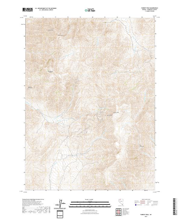
1990 Parrot Peak
Humboldt County, NV
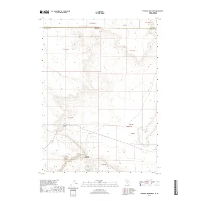
1990 Quinn River Crossing
Humboldt County, NV

1990 Red Butte
Humboldt County, NV
1990 Rock Springs Table
Humboldt County, NV
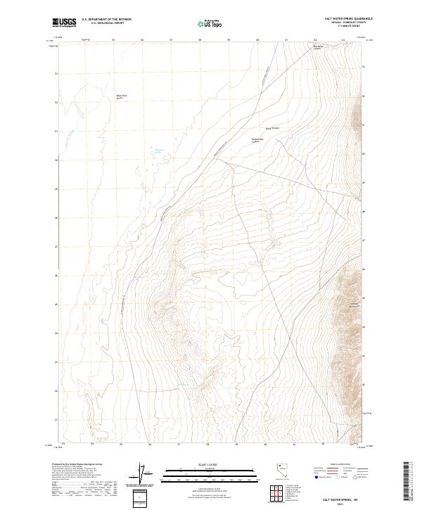
1990 Salt Water Spring
Humboldt County, NV
1990 Schoolhouse Butte
Humboldt County, NV
1990 Sheep Ranch Canyon
Humboldt County, NV
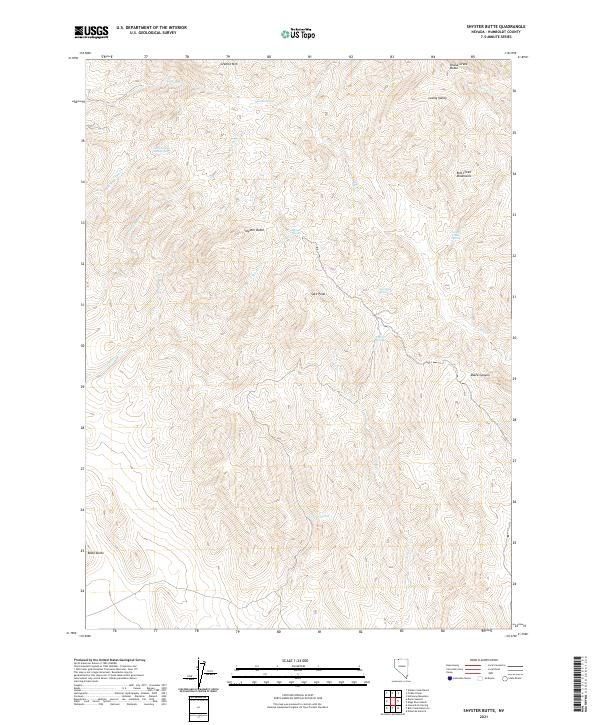
1990 Shyster Butte
Humboldt County, NV
1990 Summit Lake
Humboldt County, NV
1990 Thousand Creek Gorge
Humboldt County, NV
1990 Thousand Creek Spring
Humboldt County, NV
1990 Trident Peak
Humboldt County, NV
1990 Vicksburg Canyon
Humboldt County, NV
1990 Virgin Valley
Humboldt County, NV
1990 Wilder Creek Ranch
Humboldt County, NV
1991 Buckskin Mountain
Humboldt County, NV
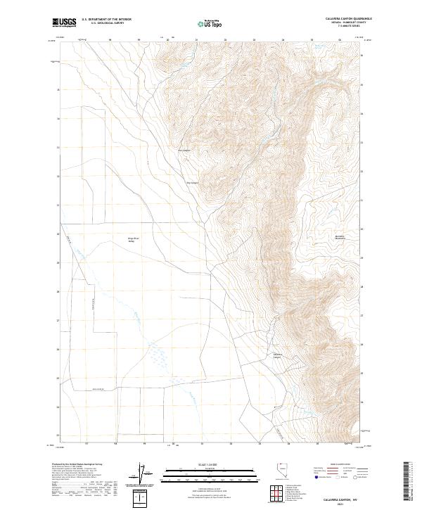
1991 Calavera Canyon
Humboldt County, NV
1991 Cordero Mine
Humboldt County, NV
1991 Coyote Hills
Humboldt County, NV
1991 Disaster Peak
Humboldt County, NV
1991 Hinkey Summit
Humboldt County, NV
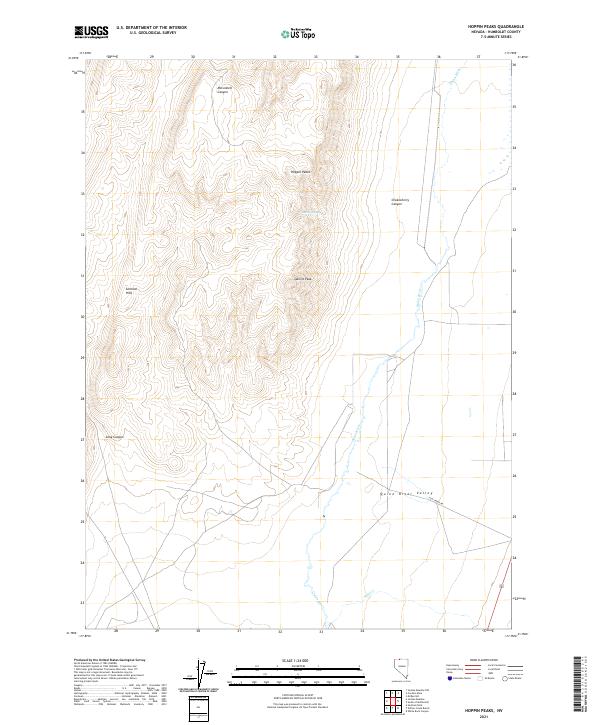
1991 Hoppin Peaks
Humboldt County, NV
1991 Jordan Meadow
Humboldt County, NV
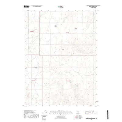
1991 Jordan Meadow Mountain
Humboldt County, NV
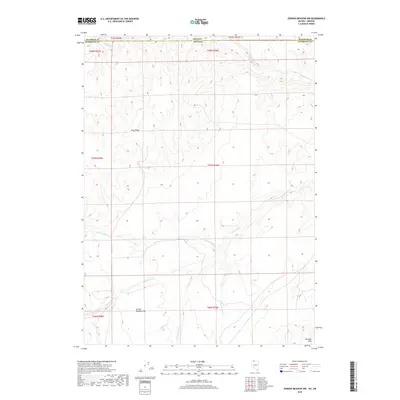
1991 Jordan Meadow NW
Humboldt County, NV
1991 McConnell Peak
Humboldt County, NV
1991 Moonshine Canyon
Humboldt County, NV
1991 Mullinix Creek
Humboldt County, NV
1991 Riverside Ranch
Humboldt County, NV
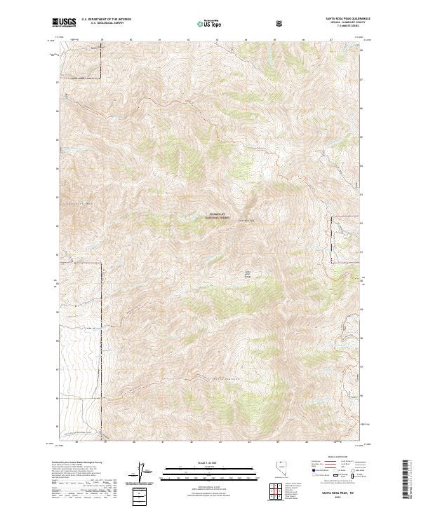
1991 Santa Rosa Peak
Humboldt County, NV
1991 Sentinel Rock
Humboldt County, NV
1991 Sheep Ranch Springs
Humboldt County, NV
1991 South of McDermitt
Humboldt County, NV
1991 Thacker Pass
Humboldt County, NV
1991 Washburn Basin
Humboldt County, NV
1991 White Rock Canyon
Humboldt County, NV
1991 Willow Creek Ranch
Humboldt County, NV
1999 Salt Water Spring
Humboldt County, NV
2011 Adam Peak
Humboldt County, NV

2011 Adelaide
Humboldt County, NV
2011 Alder Creek Ranch
Humboldt County, NV
2011 Alkali Peak
Humboldt County, NV
2011 Anderson Gardens
Humboldt County, NV
2011 Andorno Ranch
Humboldt County, NV
2011 Awakening Peak
Humboldt County, NV
2011 Badger Mountain SE
Humboldt County, NV
2011 Barrett Springs
Humboldt County, NV
2011 Battle Creek Ranch
Humboldt County, NV
2011 Bear Buttes
Humboldt County, NV
2011 Big Mountain
Humboldt County, NV
2011 Big Spring Butte
Humboldt County, NV
2011 Bilk Creek Reservoir
Humboldt County, NV
2011 Bishop Peak
Humboldt County, NV
2011 Black Ridge
Humboldt County, NV
2011 Bloody Run Peak
Humboldt County, NV
2011 Blowout Mountain
Humboldt County, NV
2011 Bog Hot Springs
Humboldt County, NV
2011 Bottle Creek Ranch
Humboldt County, NV
2011 Bottle Creek Slough NW
Humboldt County, NV
2011 Bottle Creek Slough SW
Humboldt County, NV
2011 Bottle Hill
Humboldt County, NV
2011 Brooks Spring
Humboldt County, NV
2011 Buckskin Mountain
Humboldt County, NV
2011 Burnt Springs
Humboldt County, NV
2011 Calavera Canyon
Humboldt County, NV
2011 Calico Butte
Humboldt County, NV
2011 Capitol Peak
Humboldt County, NV
2011 Catnip Mountain SE
Humboldt County, NV
2011 Chimney Reservoir
Humboldt County, NV
2011 China Garden
Humboldt County, NV
2011 Clapper Creek
Humboldt County, NV
2011 Cordero Mine
Humboldt County, NV
2011 Coyote Hills
Humboldt County, NV
2011 Coyote Mountain
Humboldt County, NV
2011 Crowbar Spring
Humboldt County, NV
2011 Deer Creek Peak
Humboldt County, NV
2011 Deer Creek Slough
Humboldt County, NV
2011 Delvada Spring
Humboldt County, NV
2011 Denio Summit
Humboldt County, NV
2011 Disaster Peak
Humboldt County, NV
2011 Division Peak
Humboldt County, NV
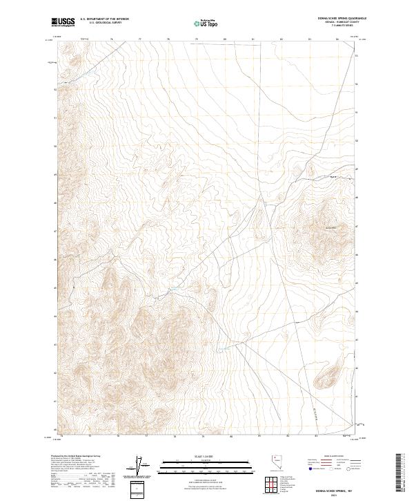
2011 Donna Schee Peak
Humboldt County, NV
2011 Donna Schee Spring
Humboldt County, NV
2011 Donnelly Creek
Humboldt County, NV
2011 Double Hot Springs
Humboldt County, NV
2011 Dry Hills
Humboldt County, NV
2011 Dry Hills North
Humboldt County, NV
2011 Dry Hills South
Humboldt County, NV
2011 Duffer Peak
Humboldt County, NV
2011 Dyke Canyon
Humboldt County, NV
2011 Eden Valley
Humboldt County, NV
2011 Five Fingers
Humboldt County, NV
2011 Floka
Humboldt County, NV
2011 Gallagher Flat
Humboldt County, NV
2011 Gaskell
Humboldt County, NV
2011 Golconda Butte
Humboldt County, NV
2011 Goldrun Creek
Humboldt County, NV
2011 Gooch Lake
Humboldt County, NV
2011 Greeley Flat
Humboldt County, NV
2011 Gumboot Lake
Humboldt County, NV
2011 Hardscrabble
Humboldt County, NV
2011 Hinkey Summit
Humboldt County, NV
2011 Hobo Canyon
Humboldt County, NV
2011 Holloway Meadows
Humboldt County, NV
2011 Holloway Mountain
Humboldt County, NV
2011 Hoppin Peaks
Humboldt County, NV
2011 Hot Springs Peak
Humboldt County, NV
2011 Howard Hot Spring
Humboldt County, NV
2011 Idaho Canyon Spring
Humboldt County, NV
2011 Iron Point
Humboldt County, NV
2011 Jackson Well
Humboldt County, NV
2011 Jordan Meadow
Humboldt County, NV
2011 Jordan Meadow Mountain
Humboldt County, NV
2011 Jordan Meadow NW
Humboldt County, NV
2011 Jungo
Humboldt County, NV
2011 Jungo NE
Humboldt County, NV
2011 King Lear Peak
Humboldt County, NV
2011 King Lear Peak NW
Humboldt County, NV
2011 Kings River Ranch
Humboldt County, NV
2011 Knight
Humboldt County, NV
2011 Knott Creek
Humboldt County, NV
2011 Knott Creek Ranch
Humboldt County, NV
2011 Lay Waterhole
Humboldt County, NV
2011 Leonard Creek Slough North
Humboldt County, NV
2011 Leonard Creek Slough South
Humboldt County, NV
2011 Little Poverty
Humboldt County, NV
2011 Mahogany Spring
Humboldt County, NV
2011 Maiden Butte
Humboldt County, NV
2011 McConnel Canyon
Humboldt County, NV
2011 McConnell Peak
Humboldt County, NV
2011 McGhee Mountain
Humboldt County, NV
2011 Moonshine Canyon
Humboldt County, NV
2011 Mormon Dan Butte
Humboldt County, NV
2011 Mud Meadow
Humboldt County, NV
2011 Mud Spring Canyon
Humboldt County, NV
2011 Mullinix Creek
Humboldt County, NV
2011 Mustang Spring
Humboldt County, NV
2011 New York Peak
Humboldt County, NV
2011 Ninemile Summit
Humboldt County, NV
2011 North Peak
Humboldt County, NV
2011 Odell Mountain
Humboldt County, NV
2011 Paiute Meadows
Humboldt County, NV
2011 Paradise Well
Humboldt County, NV
2011 Parrot Peak
Humboldt County, NV
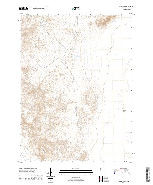
2011 Pidgeon Spring
Humboldt County, NV
2011 Pidgeon Spring SE
Humboldt County, NV
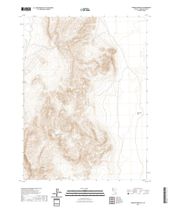
2011 Pidgeon Spring SW
Humboldt County, NV
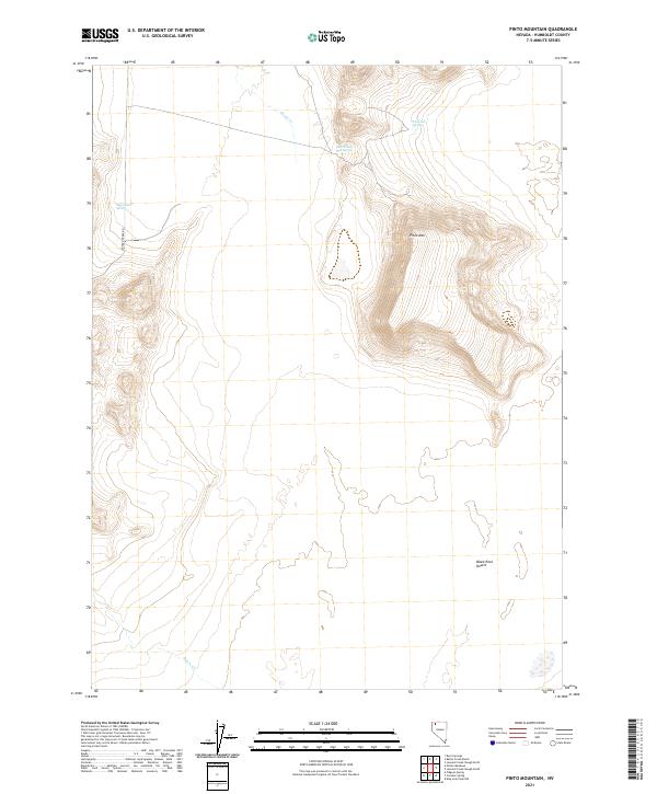
2011 Pinto Mountain
Humboldt County, NV
2011 Pole Creek
Humboldt County, NV
2011 Presnel Well
Humboldt County, NV
2011 Pronto
Humboldt County, NV
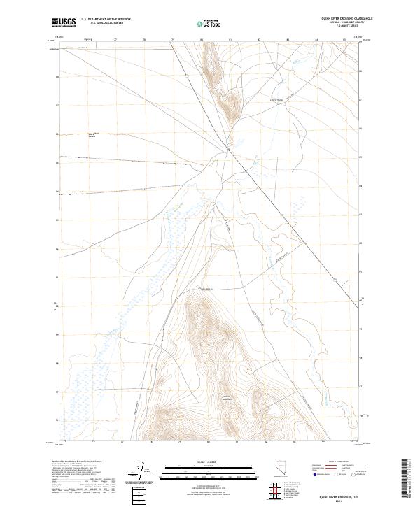
2011 Quinn River Crossing
Humboldt County, NV
2011 Rabbithole NE
Humboldt County, NV
2011 Red Butte
Humboldt County, NV
2011 Red House Flat East
Humboldt County, NV
2011 Red House Flat West
Humboldt County, NV
2011 Red Mountain
Humboldt County, NV
2011 Riverside Ranch
Humboldt County, NV
2011 Rock Spring Table
Humboldt County, NV
2011 Rose Creek
Humboldt County, NV
2011 Sage Hen Hills
Humboldt County, NV
2011 Salt Water Spring
Humboldt County, NV
2011 Santa Rosa Peak
Humboldt County, NV
2011 Schoolhouse Butte
Humboldt County, NV
2011 Sentinel Rock
Humboldt County, NV
2011 Sheep Ranch Canyon
Humboldt County, NV
2011 Sheep Ranch Springs
Humboldt County, NV
2011 Shyster Butte
Humboldt County, NV
2011 Silver State Draw
Humboldt County, NV
2011 Smelser Pass
Humboldt County, NV
2011 Snow Gulch
Humboldt County, NV
2011 Sod House
Humboldt County, NV
2011 Soldier Meadow
Humboldt County, NV
2011 Sombrero Peak
Humboldt County, NV
2011 South of McDermitt
Humboldt County, NV
2011 Spring City
Humboldt County, NV
2011 Spring Creek
Humboldt County, NV
2011 Sugarloaf Knob
Humboldt County, NV
2011 Summit Lake
Humboldt County, NV
2011 Thacker Pass
Humboldt County, NV
2011 Thousand Creek Gorge
Humboldt County, NV
2011 Thousand Creek Spring
Humboldt County, NV
2011 Trident Peak
Humboldt County, NV
2011 Vicksburg Canyon
Humboldt County, NV
2011 Virgin Valley
Humboldt County, NV
2011 Wagner Springs
Humboldt County, NV
2011 Washburn Basin
Humboldt County, NV
2011 Weso
Humboldt County, NV
2011 Whiskey Springs
Humboldt County, NV
2011 White Rock Canyon
Humboldt County, NV
2011 Wilder Creek Ranch
Humboldt County, NV
2011 Willow Creek Ranch
Humboldt County, NV
2011 Willow Point
Humboldt County, NV
2011 Winnemucca East
Humboldt County, NV
2011 Winnemucca Mountain
Humboldt County, NV
2011 Winnemucca West
Humboldt County, NV
2012 Button Lake
Humboldt County, NV
2012 Cherry Creek NE
Humboldt County, NV
2012 Elevenmile Well
Humboldt County, NV
2012 Ellison
Humboldt County, NV
2012 Greeley Flat SE
Humboldt County, NV
2012 Hot Pot
Humboldt County, NV
2012 Kenny Creek
Humboldt County, NV
2012 Layton Spring
Humboldt County, NV
2012 Maiden Butte SE
Humboldt County, NV
2012 Nadine Butte
Humboldt County, NV
2012 The Knolls
Humboldt County, NV
2014 Adelaide
Humboldt County, NV
2014 Brooks Spring
Humboldt County, NV
2014 Cherry Creek NE
Humboldt County, NV
2014 Floka
Humboldt County, NV
2014 Gaskell
Humboldt County, NV
2014 Goldrun Creek
Humboldt County, NV
2014 Iron Point
Humboldt County, NV
2014 Jungo NE
Humboldt County, NV
2014 Knight
Humboldt County, NV
2014 North Peak
Humboldt County, NV
2014 Pole Creek
Humboldt County, NV
2014 Pronto
Humboldt County, NV
2014 Rabbithole NE
Humboldt County, NV
2014 Sheep Ranch Canyon
Humboldt County, NV
2014 Smelser Pass
Humboldt County, NV
2014 Snow Gulch
Humboldt County, NV
2014 Winnemucca East
Humboldt County, NV
2014 Winnemucca West
Humboldt County, NV
2015 Adam Peak
Humboldt County, NV
2015 Alder Creek Ranch
Humboldt County, NV
2015 Alkali Peak
Humboldt County, NV
2015 Anderson Gardens
Humboldt County, NV
2015 Andorno Ranch
Humboldt County, NV
2015 Awakening Peak
Humboldt County, NV
2015 Badger Mountain SE
Humboldt County, NV
2015 Barrett Springs
Humboldt County, NV
2015 Battle Creek Ranch
Humboldt County, NV
2015 Bear Buttes
Humboldt County, NV
2015 Big Mountain
Humboldt County, NV
2015 Big Spring Butte
Humboldt County, NV
2015 Bilk Creek Reservoir
Humboldt County, NV
2015 Bishop Peak
Humboldt County, NV
2015 Black Ridge
Humboldt County, NV
2015 Bloody Run Peak
Humboldt County, NV
2015 Blowout Mountain
Humboldt County, NV
2015 Bog Hot Springs
Humboldt County, NV
2015 Bottle Creek Ranch
Humboldt County, NV
2015 Bottle Creek Slough NW
Humboldt County, NV
2015 Bottle Creek Slough SW
Humboldt County, NV
2015 Bottle Hill
Humboldt County, NV
2015 Buckskin Mountain
Humboldt County, NV
2015 Burnt Springs
Humboldt County, NV
2015 Button Lake
Humboldt County, NV
2015 Calavera Canyon
Humboldt County, NV
2015 Calico Butte
Humboldt County, NV
2015 Capitol Peak
Humboldt County, NV
2015 Catnip Mountain SE
Humboldt County, NV
2015 Chimney Reservoir
Humboldt County, NV
2015 China Garden
Humboldt County, NV
2015 Clapper Creek
Humboldt County, NV
2015 Cordero Mine
Humboldt County, NV
2015 Coyote Hills
Humboldt County, NV
2015 Coyote Mountain
Humboldt County, NV

2015 Crowbar Spring
Humboldt County, NV
2015 Deer Creek Peak
Humboldt County, NV
2015 Deer Creek Slough
Humboldt County, NV
2015 Delvada Spring
Humboldt County, NV
2015 Denio Summit
Humboldt County, NV
2015 Disaster Peak
Humboldt County, NV
2015 Division Peak
Humboldt County, NV

2015 Donna Schee Peak
Humboldt County, NV
2015 Donna Schee Spring
Humboldt County, NV
2015 Donnelly Creek
Humboldt County, NV
2015 Double Hot Springs
Humboldt County, NV
2015 Dry Hills
Humboldt County, NV
2015 Dry Hills North
Humboldt County, NV
2015 Dry Hills South
Humboldt County, NV
2015 Duffer Peak
Humboldt County, NV
2015 Dyke Canyon
Humboldt County, NV
2015 Eden Valley
Humboldt County, NV
2015 Elevenmile Well
Humboldt County, NV
2015 Ellison
Humboldt County, NV
2015 Five Fingers
Humboldt County, NV
2015 Gallagher Flat
Humboldt County, NV
2015 Golconda Butte
Humboldt County, NV
2015 Gooch Lake
Humboldt County, NV
2015 Greeley Flat
Humboldt County, NV
2015 Greeley Flat SE
Humboldt County, NV
2015 Gumboot Lake
Humboldt County, NV
2015 Hardscrabble
Humboldt County, NV
2015 Hinkey Summit
Humboldt County, NV
2015 Hobo Canyon
Humboldt County, NV
2015 Holloway Meadows
Humboldt County, NV
2015 Holloway Mountain
Humboldt County, NV
2015 Hoppin Peaks
Humboldt County, NV
2015 Hot Pot
Humboldt County, NV
2015 Hot Springs Peak
Humboldt County, NV
2015 Howard Hot Spring
Humboldt County, NV
2015 Idaho Canyon Spring
Humboldt County, NV
2015 Jackson Well
Humboldt County, NV
2015 Jordan Meadow
Humboldt County, NV
2015 Jordan Meadow Mountain
Humboldt County, NV
2015 Jordan Meadow NW
Humboldt County, NV
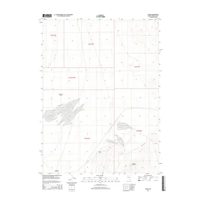
2015 Jungo
Humboldt County, NV
2015 Kenny Creek
Humboldt County, NV
2015 King Lear Peak
Humboldt County, NV
2015 King Lear Peak NW
Humboldt County, NV
2015 Kings River Ranch
Humboldt County, NV
2015 Knott Creek
Humboldt County, NV
2015 Knott Creek Ranch
Humboldt County, NV
2015 Layton Spring
Humboldt County, NV
2015 Lay Waterhole
Humboldt County, NV
2015 Leonard Creek Slough North
Humboldt County, NV
2015 Leonard Creek Slough South
Humboldt County, NV
2015 Little Poverty
Humboldt County, NV
2015 Mahogany Spring
Humboldt County, NV
2015 Maiden Butte
Humboldt County, NV
2015 Maiden Butte SE
Humboldt County, NV
2015 McConnel Canyon
Humboldt County, NV
2015 McConnell Peak
Humboldt County, NV
2015 McGhee Mountain
Humboldt County, NV
2015 Moonshine Canyon
Humboldt County, NV
2015 Mormon Dan Butte
Humboldt County, NV
2015 Mud Meadow
Humboldt County, NV
2015 Mud Spring Canyon
Humboldt County, NV
2015 Mullinix Creek
Humboldt County, NV
2015 Mustang Spring
Humboldt County, NV
2015 Nadine Butte
Humboldt County, NV
2015 New York Peak
Humboldt County, NV
2015 Ninemile Summit
Humboldt County, NV
2015 Odell Mountain
Humboldt County, NV

2015 Paiute Meadows
Humboldt County, NV
2015 Paradise Well
Humboldt County, NV
2015 Parrot Peak
Humboldt County, NV
2015 Pidgeon Spring
Humboldt County, NV
2015 Pidgeon Spring SE
Humboldt County, NV
2015 Pidgeon Spring SW
Humboldt County, NV
2015 Pinto Mountain
Humboldt County, NV
2015 Presnel Well
Humboldt County, NV
2015 Quinn River Crossing
Humboldt County, NV
2015 Red Butte
Humboldt County, NV
2015 Red House Flat East
Humboldt County, NV
2015 Red House Flat West
Humboldt County, NV
2015 Red Mountain
Humboldt County, NV
2015 Riverside Ranch
Humboldt County, NV
2015 Rock Spring Table
Humboldt County, NV
2015 Rose Creek
Humboldt County, NV
2015 Sage Hen Hills
Humboldt County, NV
2015 Salt Water Spring
Humboldt County, NV
2015 Santa Rosa Peak
Humboldt County, NV
2015 Schoolhouse Butte
Humboldt County, NV
2015 Sentinel Rock
Humboldt County, NV
2015 Sheep Ranch Springs
Humboldt County, NV
2015 Shyster Butte
Humboldt County, NV
2015 Silver State Draw
Humboldt County, NV
2015 Sod House
Humboldt County, NV
2015 Soldier Meadow
Humboldt County, NV
2015 Sombrero Peak
Humboldt County, NV
2015 South of McDermitt
Humboldt County, NV
2015 Spring City
Humboldt County, NV
2015 Spring Creek
Humboldt County, NV
2015 Sugarloaf Knob
Humboldt County, NV
2015 Summit Lake
Humboldt County, NV
2015 Thacker Pass
Humboldt County, NV
2015 The Knolls
Humboldt County, NV
2015 Thousand Creek Gorge
Humboldt County, NV
2015 Thousand Creek Spring
Humboldt County, NV
2015 Trident Peak
Humboldt County, NV
2015 Vicksburg Canyon
Humboldt County, NV
2015 Virgin Valley
Humboldt County, NV
2015 Wagner Springs
Humboldt County, NV
2015 Washburn Basin
Humboldt County, NV
2015 Weso
Humboldt County, NV
2015 Whiskey Springs
Humboldt County, NV
2015 White Rock Canyon
Humboldt County, NV
2015 Wilder Creek Ranch
Humboldt County, NV
2015 Willow Creek Ranch
Humboldt County, NV

2015 Willow Point
Humboldt County, NV
2015 Winnemucca Mountain
Humboldt County, NV
2018 Adam Peak
Humboldt County, NV
2018 Adelaide
Humboldt County, NV
2018 Alder Creek Ranch
Humboldt County, NV
2018 Alkali Peak
Humboldt County, NV
2018 Anderson Gardens
Humboldt County, NV
2018 Andorno Ranch
Humboldt County, NV
2018 Awakening Peak
Humboldt County, NV
2018 Badger Mountain SE
Humboldt County, NV
2018 Barrett Springs
Humboldt County, NV
2018 Battle Creek Ranch
Humboldt County, NV
2018 Bear Buttes
Humboldt County, NV
2018 Big Mountain
Humboldt County, NV
2018 Big Spring Butte
Humboldt County, NV
2018 Bilk Creek Reservoir
Humboldt County, NV
2018 Bishop Peak
Humboldt County, NV
2018 Black Ridge
Humboldt County, NV
2018 Bloody Run Peak
Humboldt County, NV
2018 Blowout Mountain
Humboldt County, NV
2018 Bog Hot Springs
Humboldt County, NV
2018 Bottle Creek Ranch
Humboldt County, NV
2018 Bottle Creek Slough NW
Humboldt County, NV
2018 Bottle Creek Slough SW
Humboldt County, NV
2018 Bottle Hill
Humboldt County, NV
2018 Brooks Spring
Humboldt County, NV
2018 Buckskin Mountain
Humboldt County, NV
2018 Burnt Springs
Humboldt County, NV
2018 Button Lake
Humboldt County, NV
2018 Calavera Canyon
Humboldt County, NV
2018 Calico Butte
Humboldt County, NV
2018 Capitol Peak
Humboldt County, NV
2018 Catnip Mountain SE
Humboldt County, NV
2018 Cherry Creek NE
Humboldt County, NV
2018 Chimney Reservoir
Humboldt County, NV
2018 China Garden
Humboldt County, NV
2018 Clapper Creek
Humboldt County, NV
2018 Cordero Mine
Humboldt County, NV
2018 Coyote Hills
Humboldt County, NV
2018 Coyote Mountain
Humboldt County, NV

2018 Crowbar Spring
Humboldt County, NV
2018 Deer Creek Peak
Humboldt County, NV
2018 Deer Creek Slough
Humboldt County, NV
2018 Delvada Spring
Humboldt County, NV
2018 Denio Summit
Humboldt County, NV
2018 Disaster Peak
Humboldt County, NV
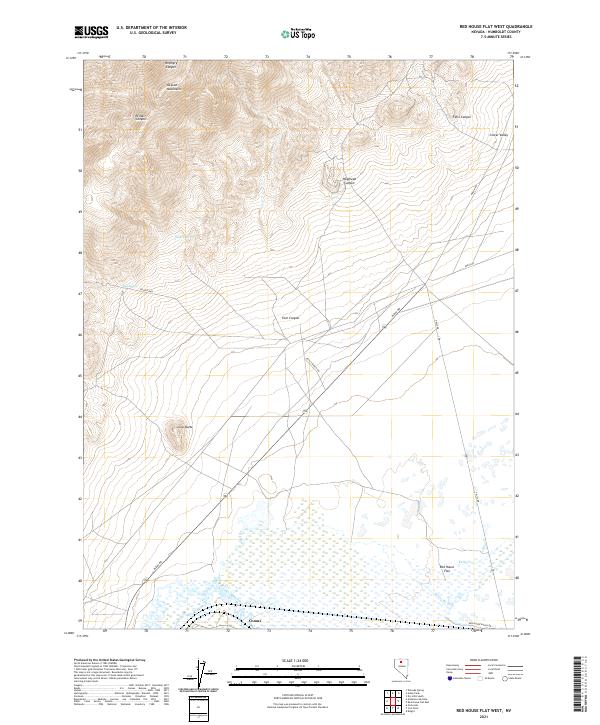
2018 Division Peak
Humboldt County, NV
2018 Donna Schee Peak
Humboldt County, NV
2018 Donna Schee Spring
Humboldt County, NV
2018 Donnelly Creek
Humboldt County, NV
2018 Double Hot Springs
Humboldt County, NV
2018 Dry Hills
Humboldt County, NV
2018 Dry Hills North
Humboldt County, NV
2018 Dry Hills South
Humboldt County, NV
2018 Duffer Peak
Humboldt County, NV
2018 Dyke Canyon
Humboldt County, NV
2018 Eden Valley
Humboldt County, NV
2018 Elevenmile Well
Humboldt County, NV
2018 Ellison
Humboldt County, NV
2018 Five Fingers
Humboldt County, NV
2018 Floka
Humboldt County, NV
2018 Gallagher Flat
Humboldt County, NV
2018 Gaskell
Humboldt County, NV
2018 Golconda Butte
Humboldt County, NV
2018 Goldrun Creek
Humboldt County, NV
2018 Gooch Lake
Humboldt County, NV
2018 Greeley Flat
Humboldt County, NV
2018 Greeley Flat SE
Humboldt County, NV
2018 Gumboot Lake
Humboldt County, NV
2018 Hardscrabble
Humboldt County, NV
2018 Hinkey Summit
Humboldt County, NV
2018 Hobo Canyon
Humboldt County, NV
2018 Holloway Meadows
Humboldt County, NV
2018 Holloway Mountain
Humboldt County, NV
2018 Hoppin Peaks
Humboldt County, NV
2018 Hot Pot
Humboldt County, NV
2018 Hot Springs Peak
Humboldt County, NV
2018 Howard Hot Spring
Humboldt County, NV
2018 Idaho Canyon Spring
Humboldt County, NV
2018 Iron Point
Humboldt County, NV
2018 Jackson Well
Humboldt County, NV
2018 Jordan Meadow
Humboldt County, NV
2018 Jordan Meadow Mountain
Humboldt County, NV
2018 Jordan Meadow NW
Humboldt County, NV
2018 Jungo
Humboldt County, NV
2018 Jungo NE
Humboldt County, NV
2018 Kenny Creek
Humboldt County, NV
2018 King Lear Peak
Humboldt County, NV
2018 King Lear Peak NW
Humboldt County, NV
2018 Kings River Ranch
Humboldt County, NV
2018 Knight
Humboldt County, NV
2018 Knott Creek
Humboldt County, NV
2018 Knott Creek Ranch
Humboldt County, NV
2018 Layton Spring
Humboldt County, NV
2018 Lay Waterhole
Humboldt County, NV
2018 Leonard Creek Slough North
Humboldt County, NV
2018 Leonard Creek Slough South
Humboldt County, NV
2018 Little Poverty
Humboldt County, NV
2018 Mahogany Spring
Humboldt County, NV
2018 Maiden Butte
Humboldt County, NV
2018 Maiden Butte SE
Humboldt County, NV
2018 McConnel Canyon
Humboldt County, NV
2018 McConnell Peak
Humboldt County, NV
2018 McGhee Mountain
Humboldt County, NV
2018 Moonshine Canyon
Humboldt County, NV
2018 Mormon Dan Butte
Humboldt County, NV
2018 Mud Meadow
Humboldt County, NV
2018 Mud Spring Canyon
Humboldt County, NV
2018 Mullinix Creek
Humboldt County, NV
2018 Mustang Spring
Humboldt County, NV
2018 Nadine Butte
Humboldt County, NV
2018 New York Peak
Humboldt County, NV
2018 Ninemile Summit
Humboldt County, NV
2018 North Peak
Humboldt County, NV
2018 Odell Mountain
Humboldt County, NV
2018 Paiute Meadows
Humboldt County, NV
2018 Paradise Well
Humboldt County, NV
2018 Parrot Peak
Humboldt County, NV
2018 Pidgeon Spring
Humboldt County, NV
2018 Pidgeon Spring SE
Humboldt County, NV
2018 Pidgeon Spring SW
Humboldt County, NV
2018 Pinto Mountain
Humboldt County, NV
2018 Pole Creek
Humboldt County, NV
2018 Presnel Well
Humboldt County, NV
2018 Pronto
Humboldt County, NV
2018 Quinn River Crossing
Humboldt County, NV
2018 Rabbithole NE
Humboldt County, NV
2018 Red Butte
Humboldt County, NV
2018 Red House Flat East
Humboldt County, NV
2018 Red House Flat West
Humboldt County, NV
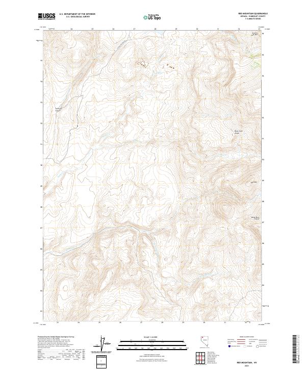
2018 Red Mountain
Humboldt County, NV
2018 Riverside Ranch
Humboldt County, NV
2018 Rock Spring Table
Humboldt County, NV
2018 Rose Creek
Humboldt County, NV
2018 Sage Hen Hills
Humboldt County, NV
2018 Salt Water Spring
Humboldt County, NV
2018 Santa Rosa Peak
Humboldt County, NV
2018 Schoolhouse Butte
Humboldt County, NV
2018 Sentinel Rock
Humboldt County, NV
2018 Sheep Ranch Canyon
Humboldt County, NV
2018 Sheep Ranch Springs
Humboldt County, NV
2018 Shyster Butte
Humboldt County, NV
2018 Silver State Draw
Humboldt County, NV
2018 Smelser Pass
Humboldt County, NV
2018 Snow Gulch
Humboldt County, NV
2018 Sod House
Humboldt County, NV
2018 Soldier Meadow
Humboldt County, NV
2018 Sombrero Peak
Humboldt County, NV
2018 South of McDermitt
Humboldt County, NV
2018 Spring City
Humboldt County, NV
2018 Spring Creek
Humboldt County, NV
2018 Sugarloaf Knob
Humboldt County, NV
2018 Summit Lake
Humboldt County, NV
2018 Thacker Pass
Humboldt County, NV
2018 The Knolls
Humboldt County, NV
2018 Thousand Creek Gorge
Humboldt County, NV
2018 Thousand Creek Spring
Humboldt County, NV
2018 Trident Peak
Humboldt County, NV
2018 Vicksburg Canyon
Humboldt County, NV
2018 Virgin Valley
Humboldt County, NV
2018 Wagner Springs
Humboldt County, NV
2018 Washburn Basin
Humboldt County, NV
2018 Weso
Humboldt County, NV
2018 Whiskey Springs
Humboldt County, NV
2018 White Rock Canyon
Humboldt County, NV
2018 Wilder Creek Ranch
Humboldt County, NV
2018 Willow Creek Ranch
Humboldt County, NV
2018 Willow Point
Humboldt County, NV
2018 Winnemucca East
Humboldt County, NV
2018 Winnemucca Mountain
Humboldt County, NV
2018 Winnemucca West
Humboldt County, NV
2021 Adam Peak
Humboldt County, NV
2021 Adelaide
Humboldt County, NV
2021 Alder Creek Ranch
Humboldt County, NV
2021 Alkali Peak
Humboldt County, NV
2021 Anderson Gardens
Humboldt County, NV
2021 Andorno Ranch
Humboldt County, NV

2021 Awakening Peak
Humboldt County, NV
2021 Badger Mountain SE
Humboldt County, NV
2021 Barrett Springs
Humboldt County, NV
2021 Battle Creek Ranch
Humboldt County, NV
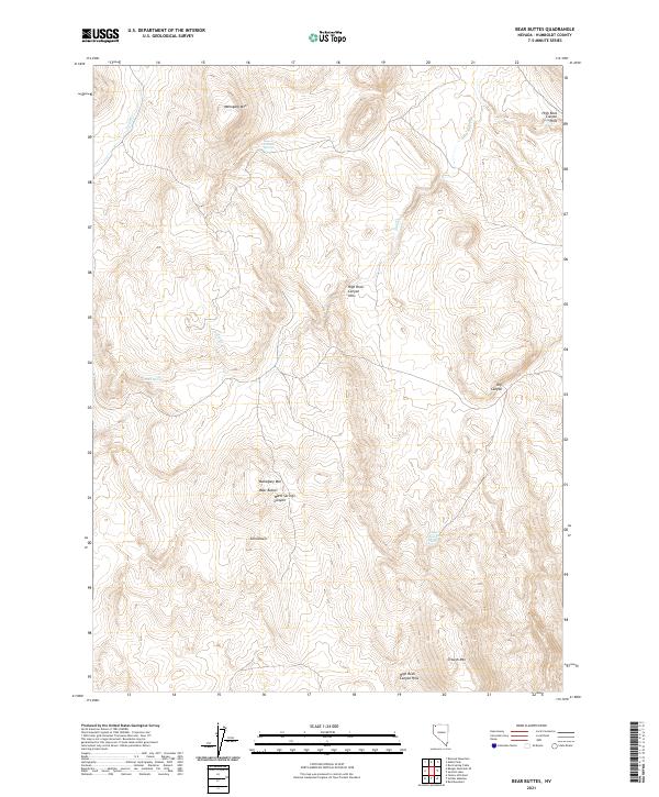
2021 Bear Buttes
Humboldt County, NV
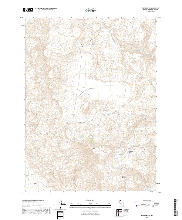
2021 Big Mountain
Humboldt County, NV
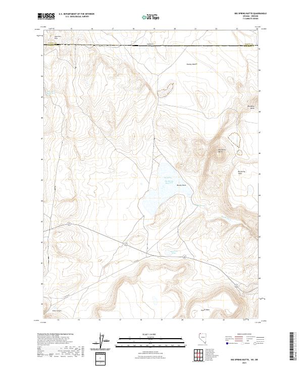
2021 Big Spring Butte
Humboldt County, NV
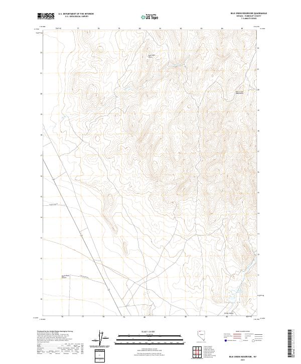
2021 Bilk Creek Reservoir
Humboldt County, NV
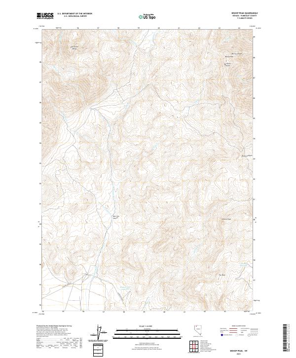
2021 Bishop Peak
Humboldt County, NV
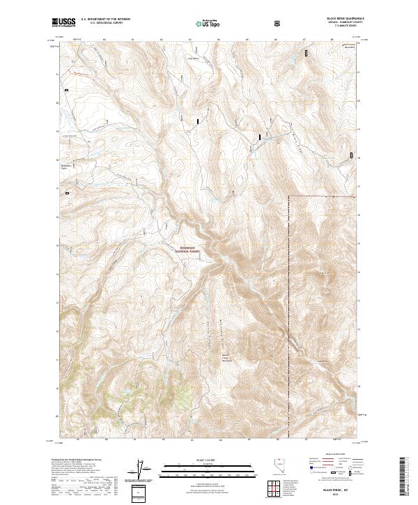
2021 Black Ridge
Humboldt County, NV
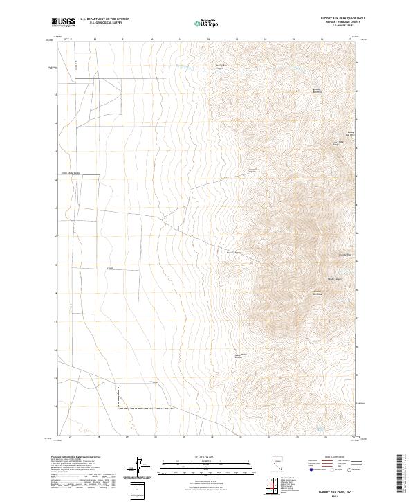
2021 Bloody Run Peak
Humboldt County, NV
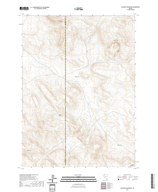
2021 Blowout Mountain
Humboldt County, NV
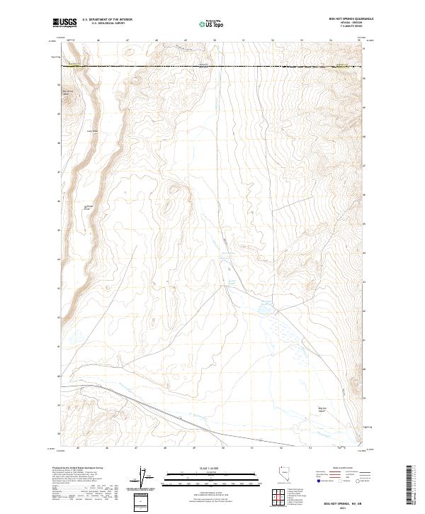
2021 Bog Hot Springs
Humboldt County, NV
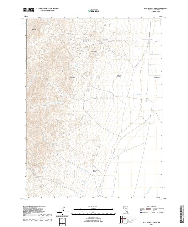
2021 Bottle Creek Ranch
Humboldt County, NV
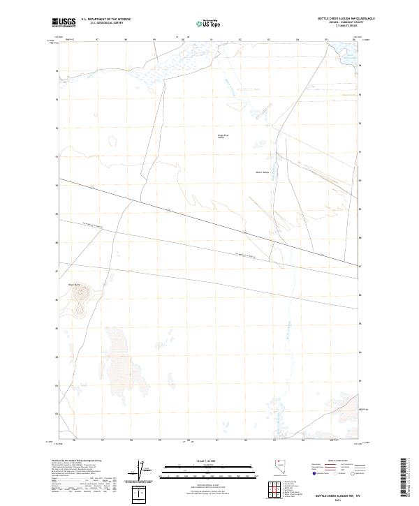
2021 Bottle Creek Slough NW
Humboldt County, NV
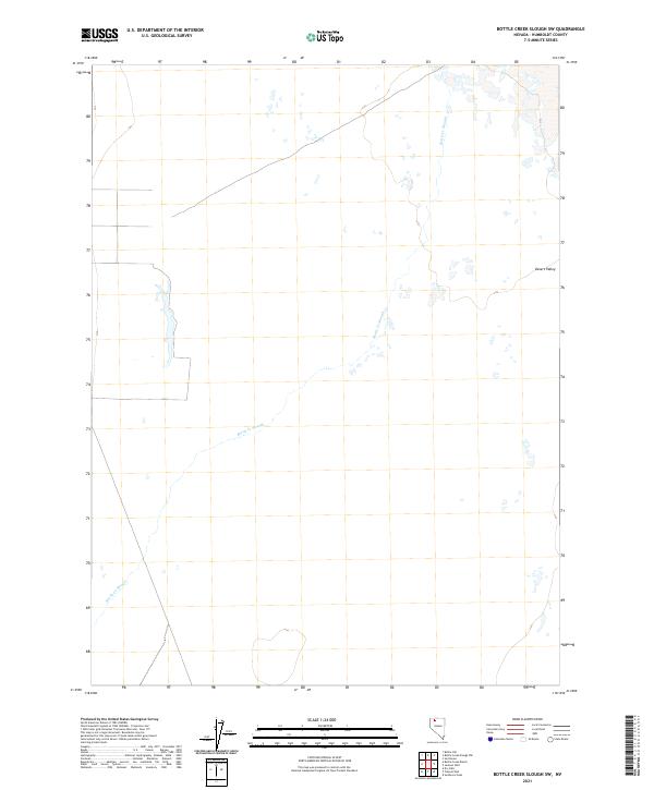
2021 Bottle Creek Slough SW
Humboldt County, NV
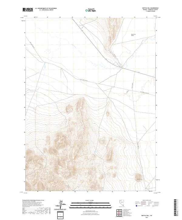
2021 Bottle Hill
Humboldt County, NV
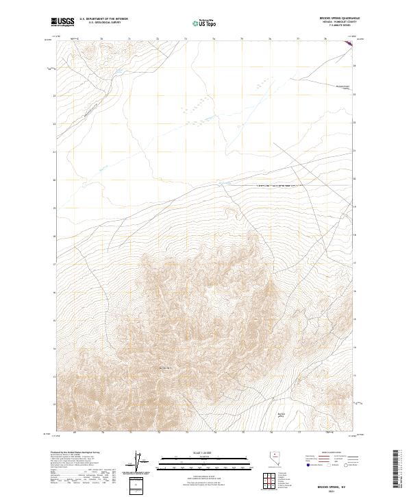
2021 Brooks Spring
Humboldt County, NV
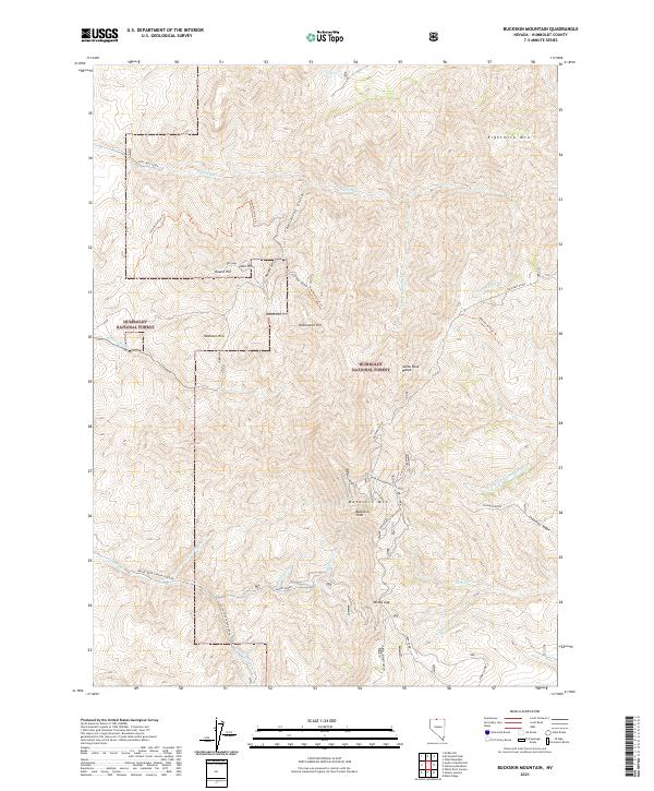
2021 Buckskin Mountain
Humboldt County, NV
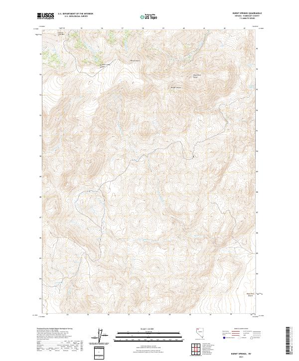
2021 Burnt Springs
Humboldt County, NV
2021 Button Lake
Humboldt County, NV
2021 Calavera Canyon
Humboldt County, NV
2021 Calico Butte
Humboldt County, NV
2021 Capitol Peak
Humboldt County, NV
2021 Catnip Mountain SE
Humboldt County, NV
2021 Cherry Creek NE
Humboldt County, NV
2021 Chimney Reservoir
Humboldt County, NV
2021 China Garden
Humboldt County, NV
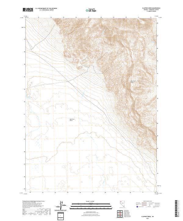
2021 Clapper Creek
Humboldt County, NV
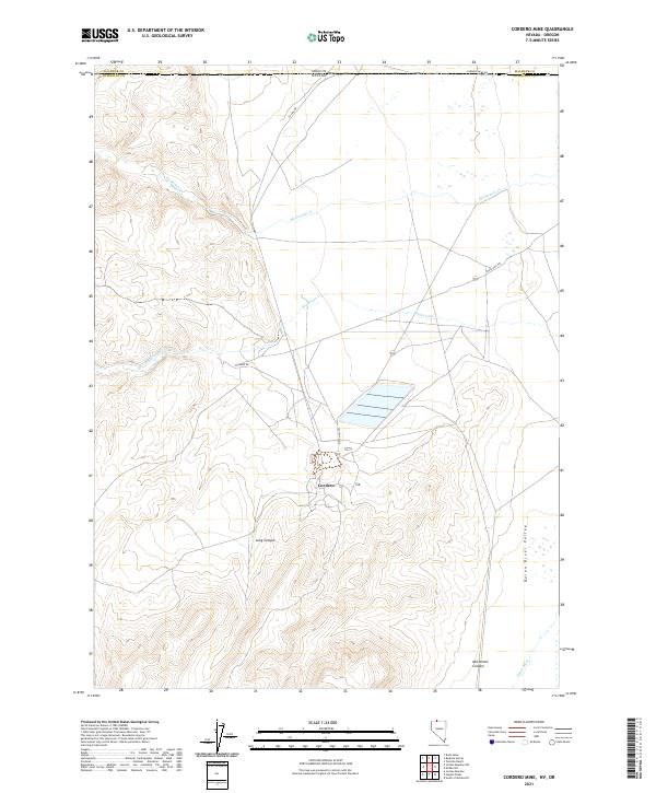
2021 Cordero Mine
Humboldt County, NV
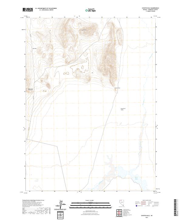
2021 Coyote Hills
Humboldt County, NV
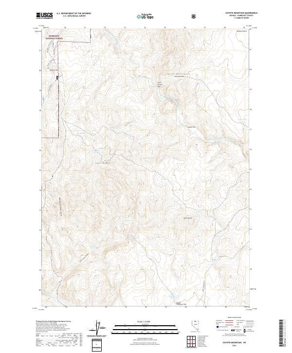
2021 Coyote Mountain
Humboldt County, NV
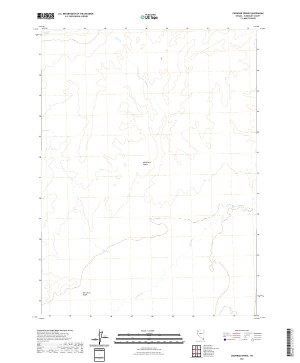
2021 Crowbar Spring
Humboldt County, NV
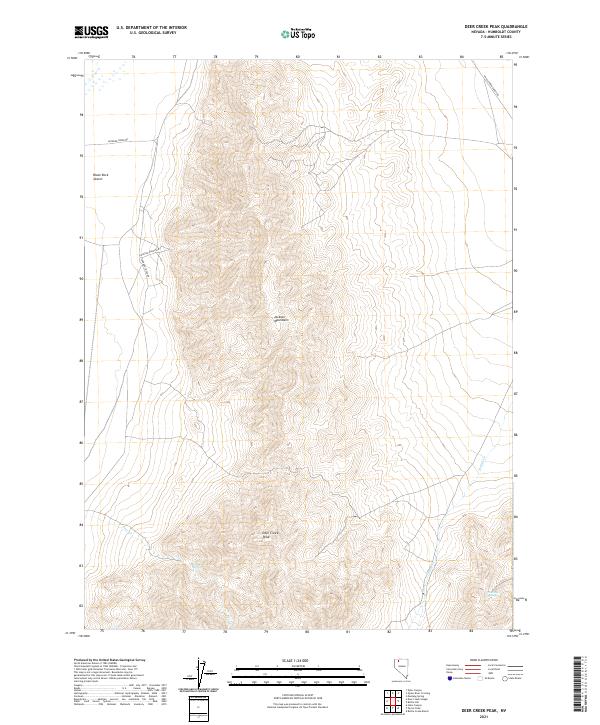
2021 Deer Creek Peak
Humboldt County, NV
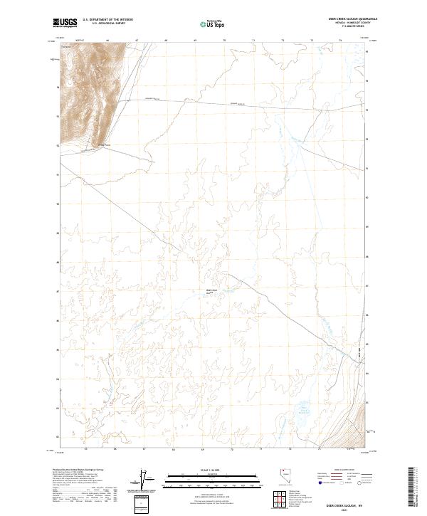
2021 Deer Creek Slough
Humboldt County, NV
2021 Delvada Spring
Humboldt County, NV
2021 Denio Summit
Humboldt County, NV
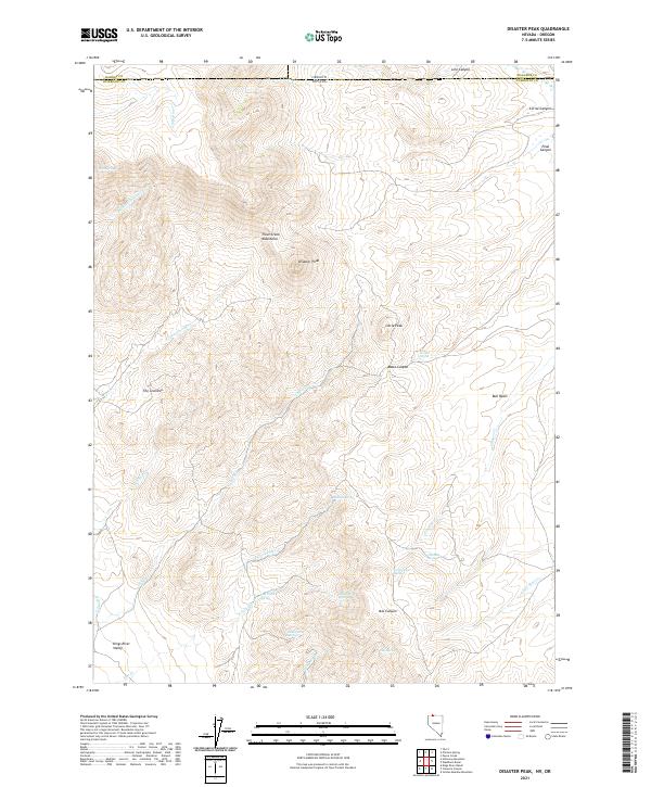
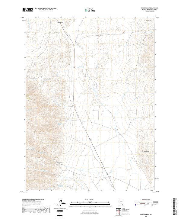
2021 Disaster Peak
Humboldt County, NV
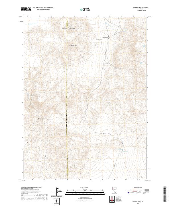
2021 Division Peak
Humboldt County, NV
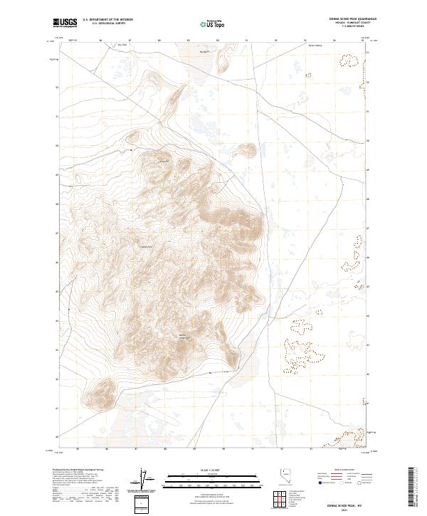
2021 Donna Schee Peak
Humboldt County, NV
2021 Donna Schee Spring
Humboldt County, NV
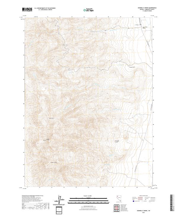
2021 Donnelly Creek
Humboldt County, NV
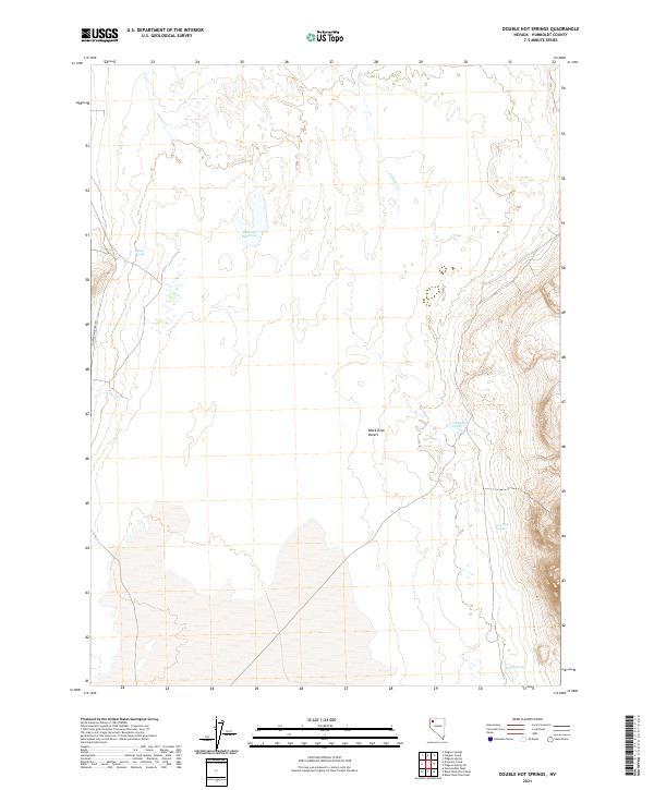
2021 Double Hot Springs
Humboldt County, NV
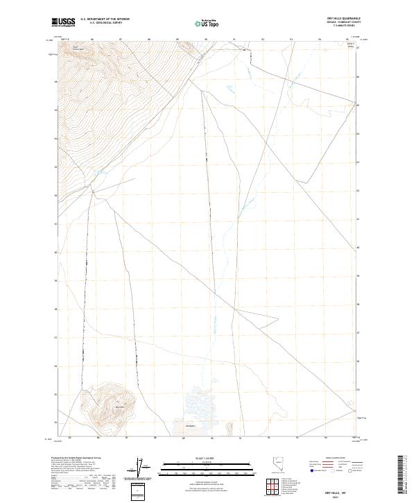
2021 Dry Hills
Humboldt County, NV
2021 Dry Hills North
Humboldt County, NV
2021 Dry Hills South
Humboldt County, NV
2021 Duffer Peak
Humboldt County, NV
2021 Dyke Canyon
Humboldt County, NV
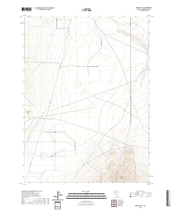
2021 Eden Valley
Humboldt County, NV
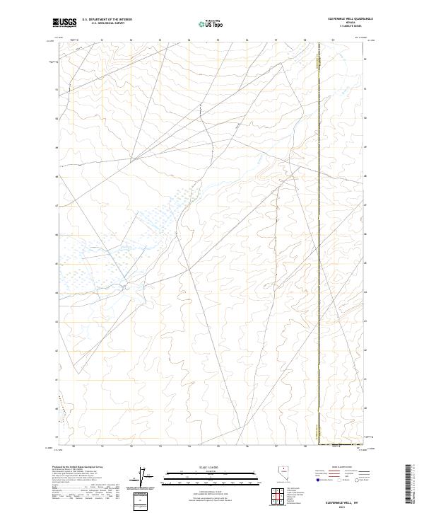
2021 Elevenmile Well
Humboldt County, NV
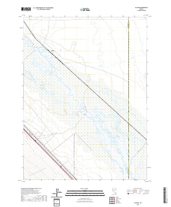
2021 Ellison
Humboldt County, NV
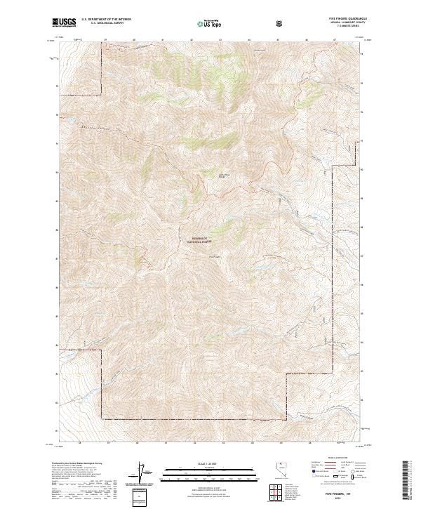
2021 Five Fingers
Humboldt County, NV
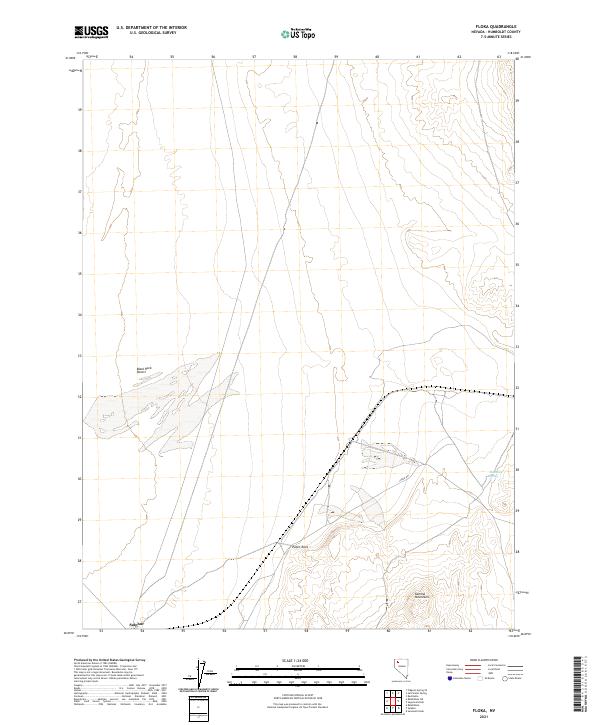
2021 Floka
Humboldt County, NV
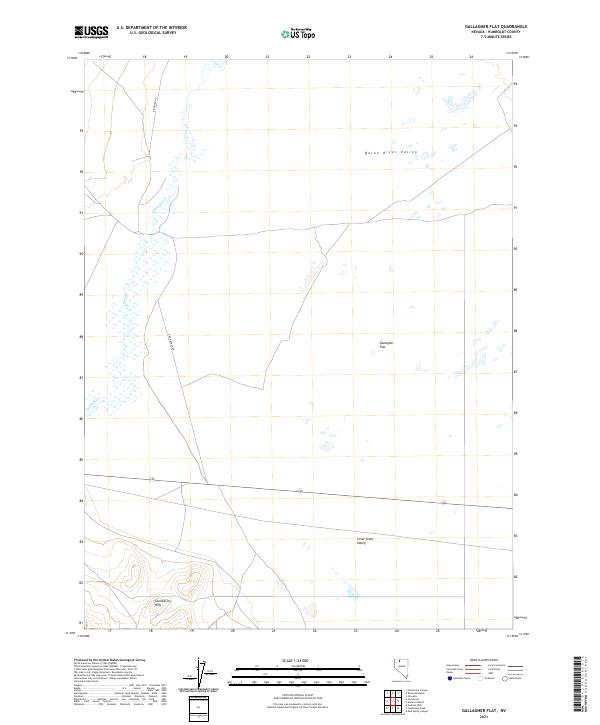
2021 Gallagher Flat
Humboldt County, NV
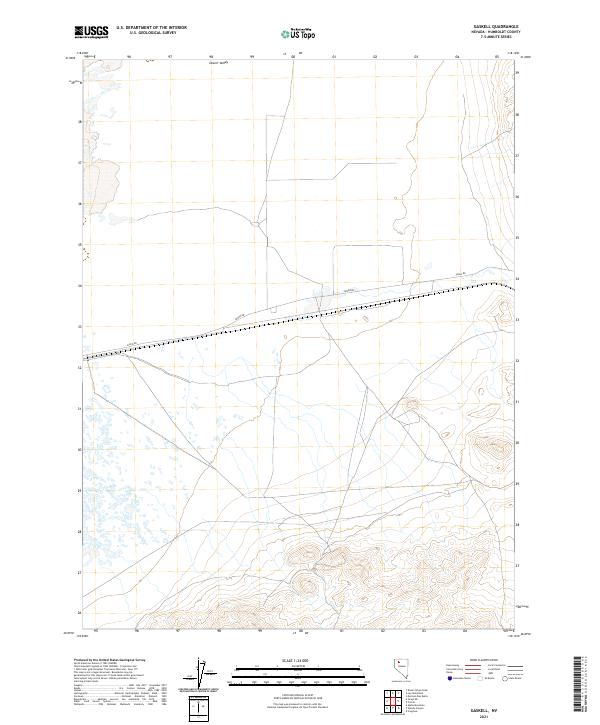
2021 Gaskell
Humboldt County, NV
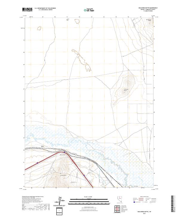
2021 Golconda Butte
Humboldt County, NV
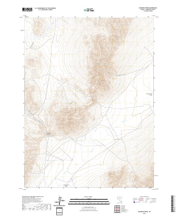
2021 Goldrun Creek
Humboldt County, NV
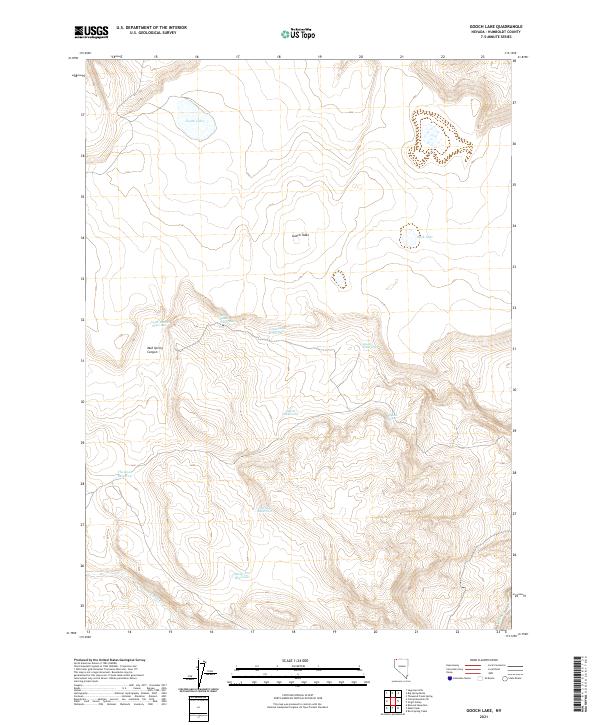
2021 Gooch Lake
Humboldt County, NV
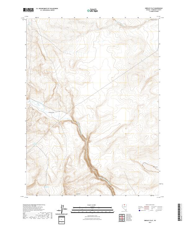
2021 Greeley Flat
Humboldt County, NV
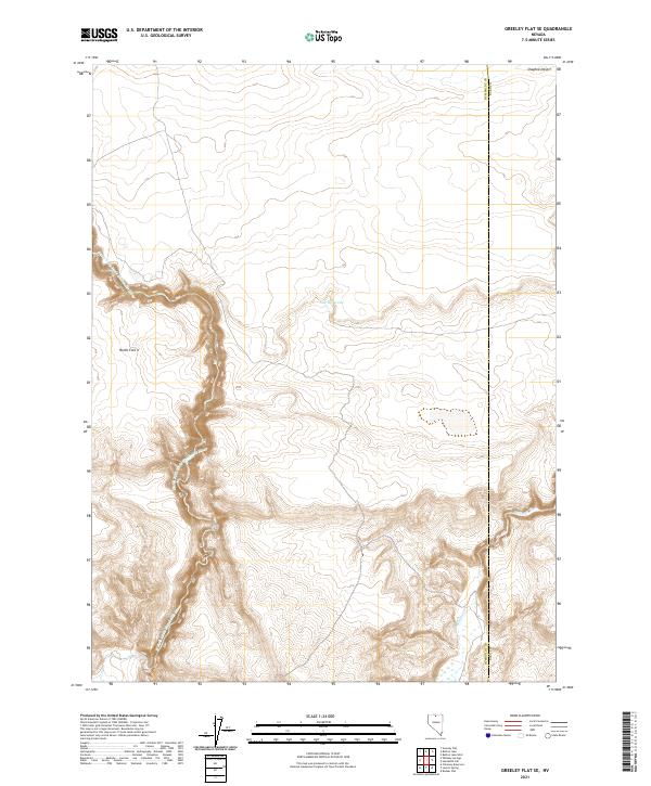
2021 Greeley Flat SE
Humboldt County, NV
2021 Gumboot Lake
Humboldt County, NV
2021 Hardscrabble
Humboldt County, NV
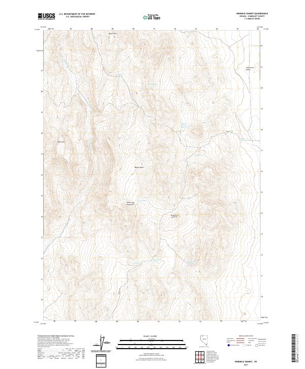
2021 Hinkey Summit
Humboldt County, NV
2021 Hobo Canyon
Humboldt County, NV
2021 Holloway Meadows
Humboldt County, NV
2021 Holloway Mountain
Humboldt County, NV
2021 Hoppin Peaks
Humboldt County, NV
2021 Hot Pot
Humboldt County, NV
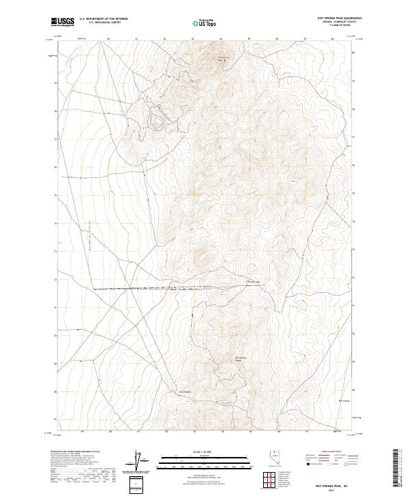
2021 Hot Springs Peak
Humboldt County, NV
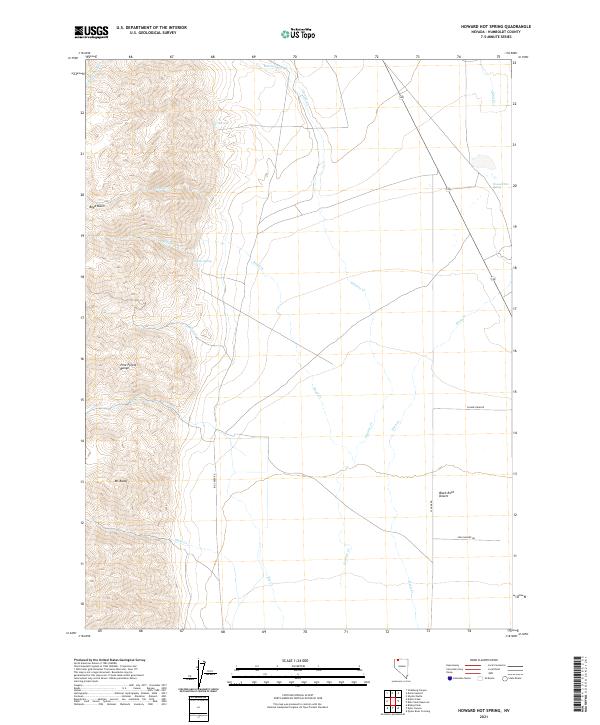
2021 Howard Hot Spring
Humboldt County, NV
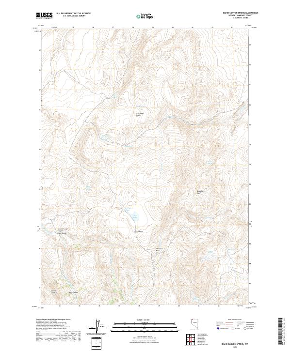
2021 Idaho Canyon Spring
Humboldt County, NV
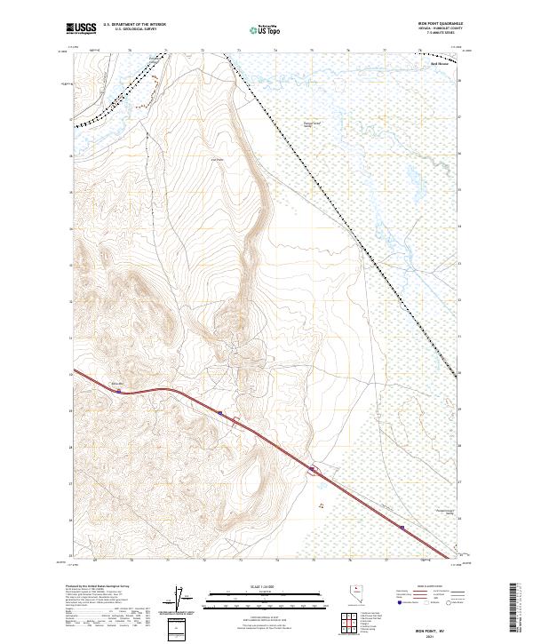
2021 Iron Point
Humboldt County, NV
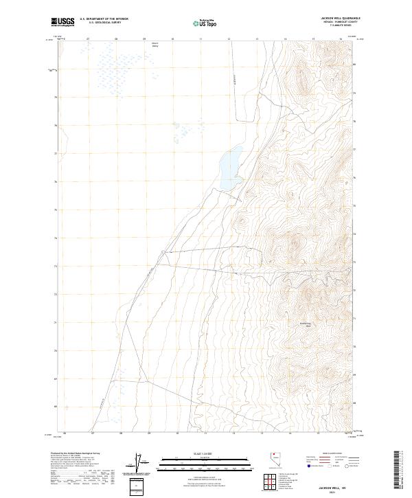
2021 Jackson Well
Humboldt County, NV
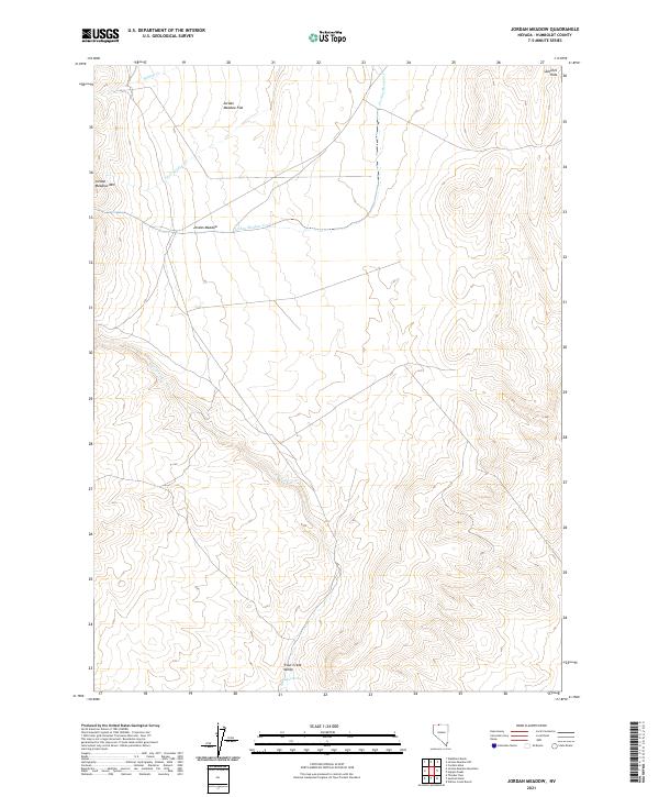
2021 Jordan Meadow
Humboldt County, NV
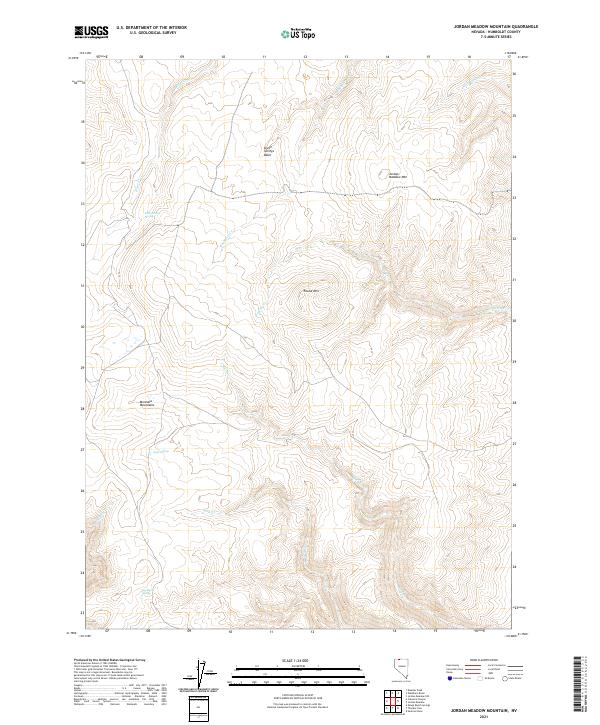
2021 Jordan Meadow Mountain
Humboldt County, NV
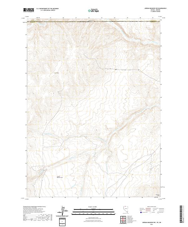
2021 Jordan Meadow NW
Humboldt County, NV
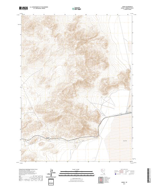
2021 Jungo
Humboldt County, NV
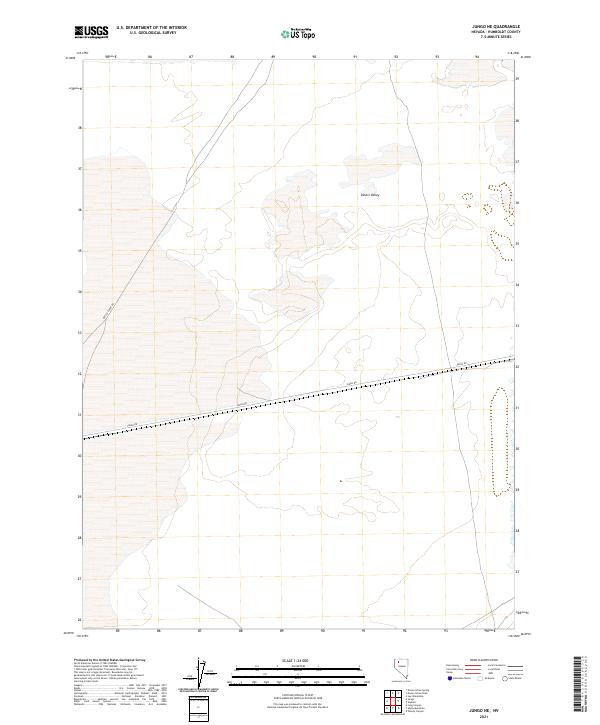
2021 Jungo NE
Humboldt County, NV
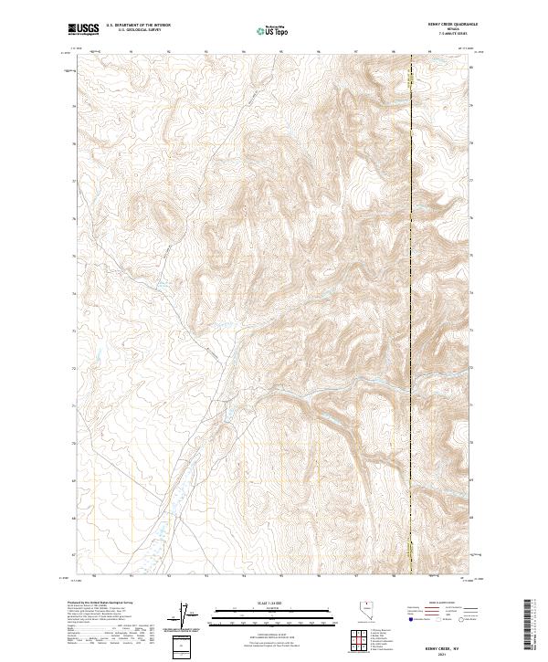
2021 Kenny Creek
Humboldt County, NV
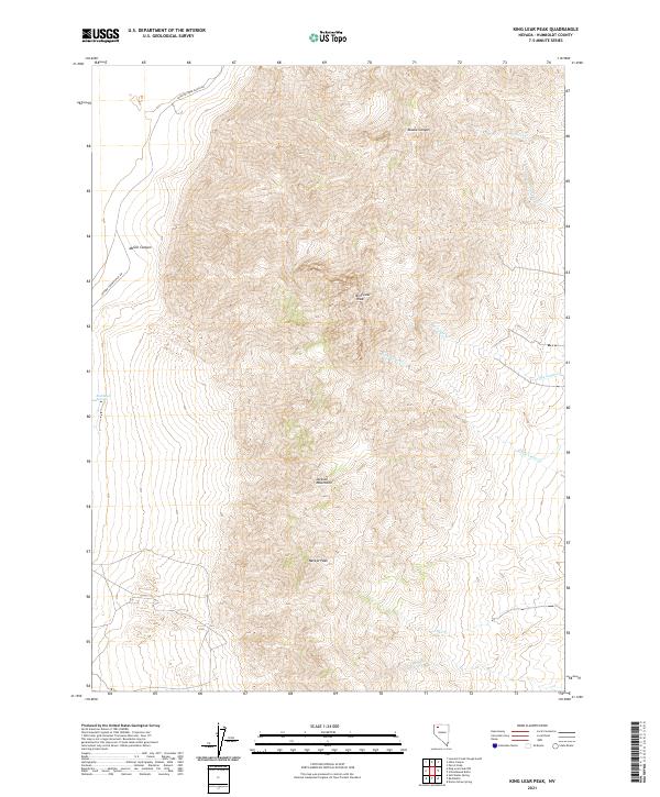
2021 King Lear Peak
Humboldt County, NV

2021 King Lear Peak NW
Humboldt County, NV
2021 Kings River Ranch
Humboldt County, NV
2021 Knight
Humboldt County, NV
2021 Knott Creek
Humboldt County, NV
2021 Knott Creek Ranch
Humboldt County, NV
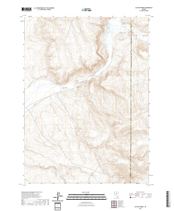
2021 Layton Spring
Humboldt County, NV
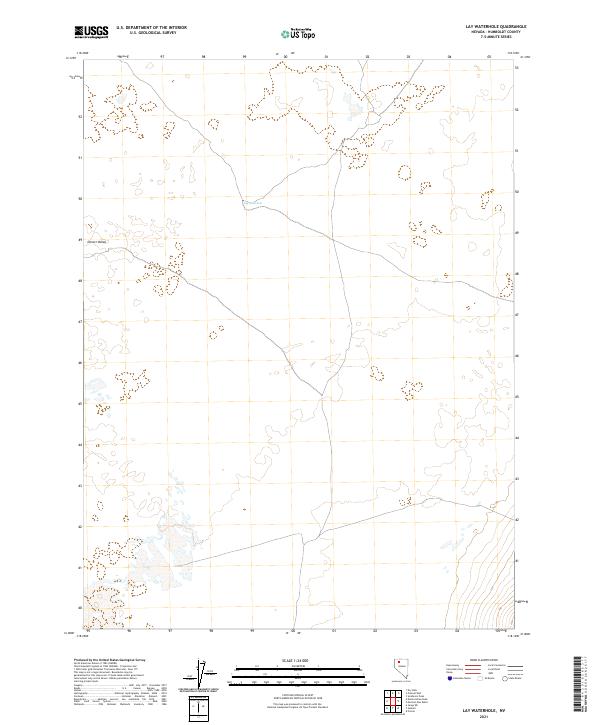
2021 Lay Waterhole
Humboldt County, NV
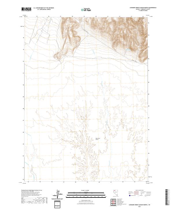
2021 Leonard Creek Slough North
Humboldt County, NV
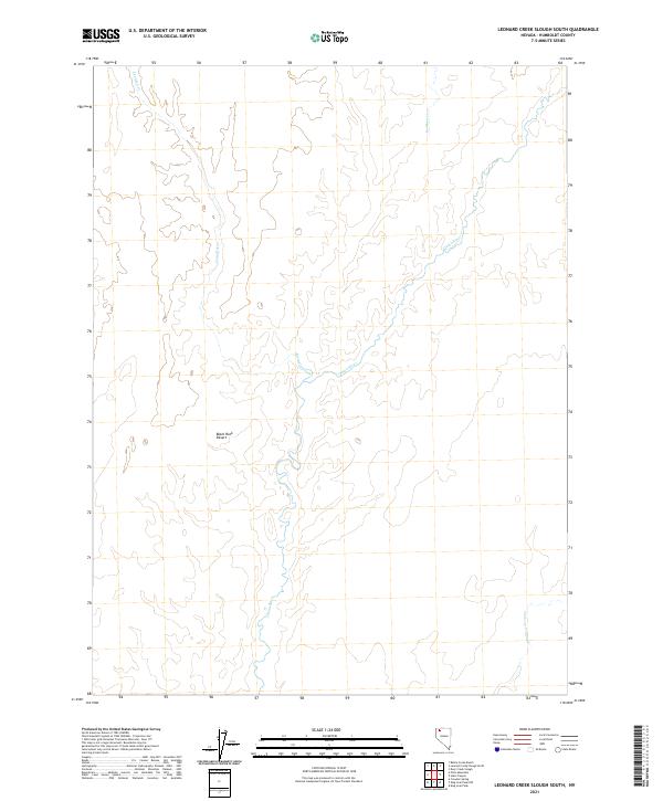
2021 Leonard Creek Slough South
Humboldt County, NV
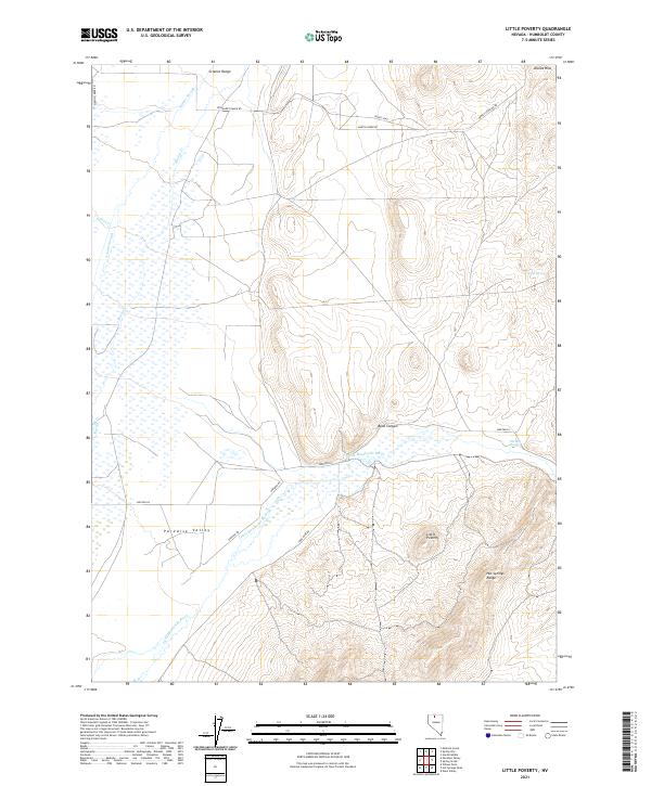
2021 Little Poverty
Humboldt County, NV
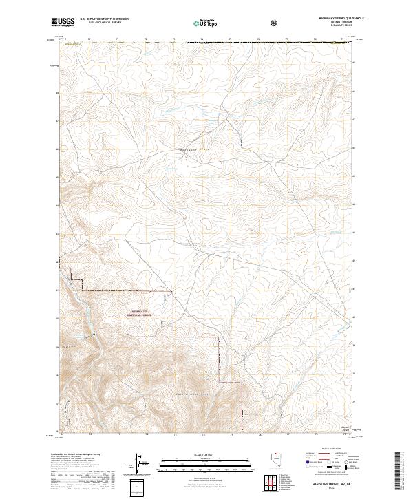
2021 Mahogany Spring
Humboldt County, NV
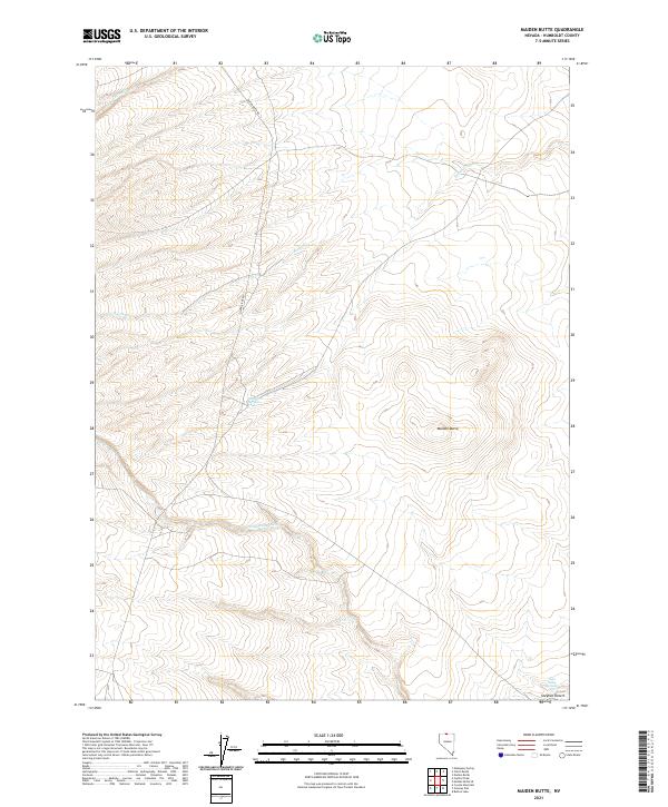
2021 Maiden Butte
Humboldt County, NV
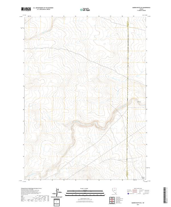
2021 Maiden Butte SE
Humboldt County, NV
2021 McConnel Canyon
Humboldt County, NV
2021 McConnell Peak
Humboldt County, NV
2021 McGhee Mountain
Humboldt County, NV
2021 Moonshine Canyon
Humboldt County, NV
2021 Mormon Dan Butte
Humboldt County, NV
2021 Mud Meadow
Humboldt County, NV
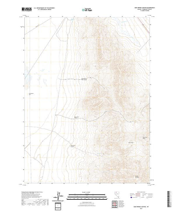
2021 Mud Spring Canyon
Humboldt County, NV
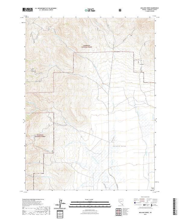
2021 Mullinix Creek
Humboldt County, NV
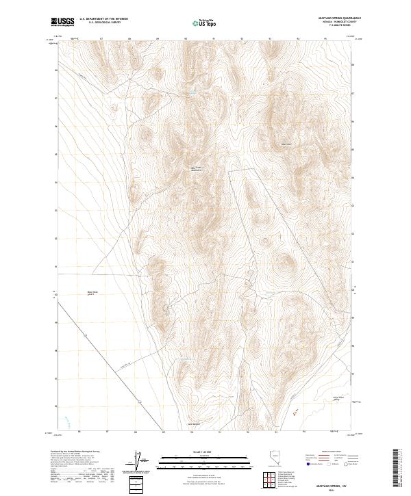
2021 Mustang Spring
Humboldt County, NV
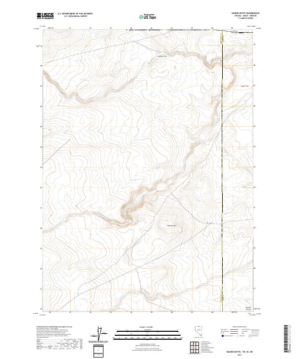
2021 Nadine Butte
Humboldt County, NV
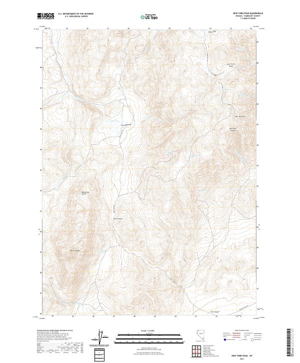
2021 New York Peak
Humboldt County, NV
2021 Ninemile Summit
Humboldt County, NV
2021 North Peak
Humboldt County, NV
2021 Odell Mountain
Humboldt County, NV
2021 Paiute Meadows
Humboldt County, NV
2021 Paradise Well
Humboldt County, NV
2021 Parrot Peak
Humboldt County, NV
2021 Pidgeon Spring
Humboldt County, NV
2021 Pidgeon Spring SE
Humboldt County, NV
2021 Pidgeon Spring SW
Humboldt County, NV
2021 Pinto Mountain
Humboldt County, NV
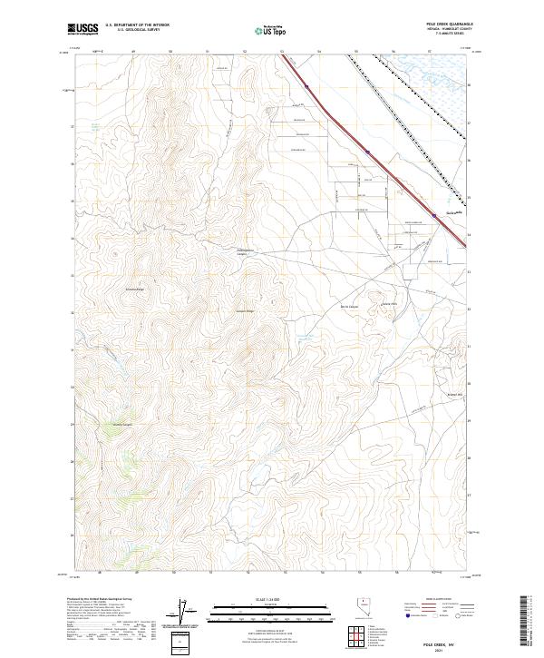
2021 Pole Creek
Humboldt County, NV
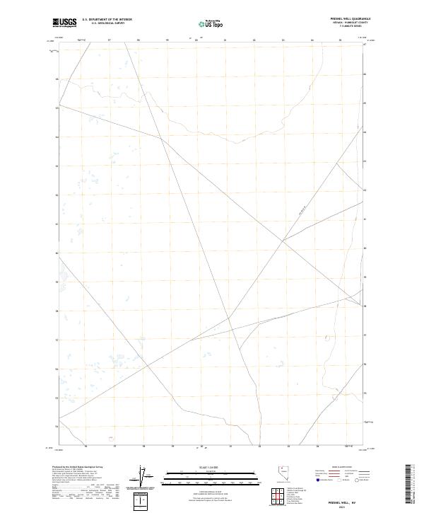
2021 Presnel Well
Humboldt County, NV
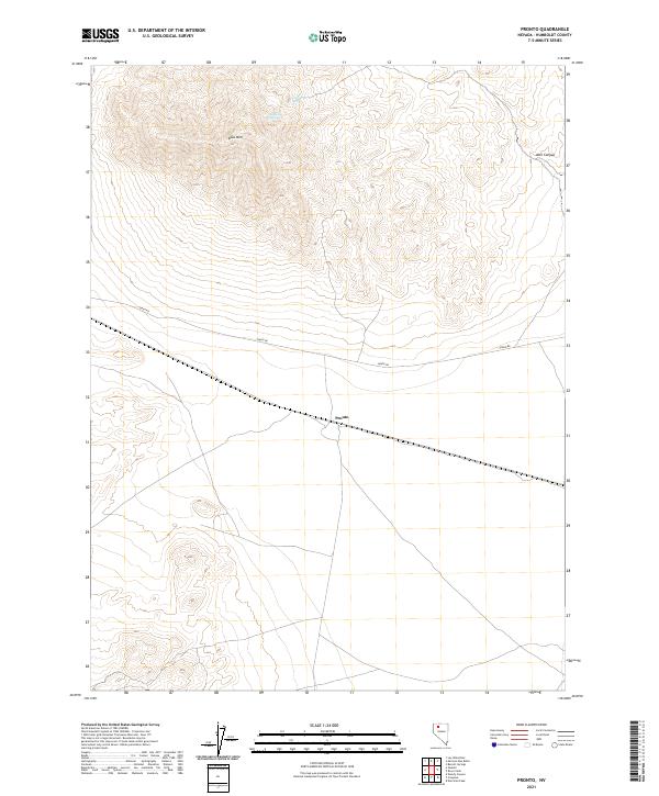
2021 Pronto
Humboldt County, NV
2021 Quinn River Crossing
Humboldt County, NV
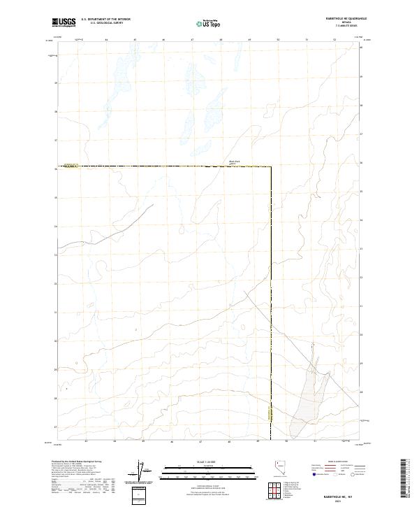
2021 Rabbithole NE
Humboldt County, NV
2021 Red Butte
Humboldt County, NV
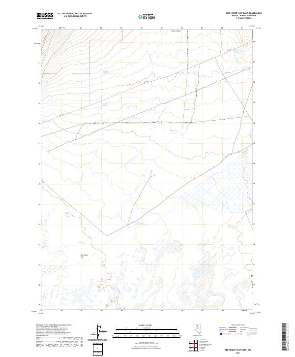
2021 Red House Flat East
Humboldt County, NV
2021 Red House Flat West
Humboldt County, NV
2021 Red Mountain
Humboldt County, NV
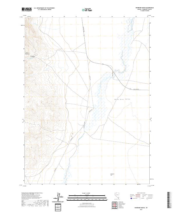
2021 Riverside Ranch
Humboldt County, NV
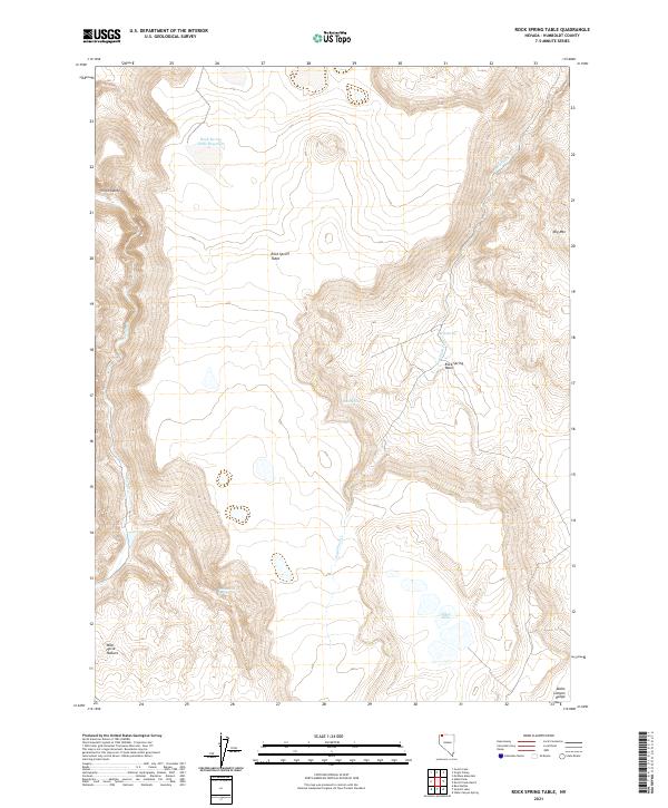
2021 Rock Spring Table
Humboldt County, NV
2021 Rose Creek
Humboldt County, NV
2021 Sage Hen Hills
Humboldt County, NV
2021 Salt Water Spring
Humboldt County, NV
2021 Santa Rosa Peak
Humboldt County, NV
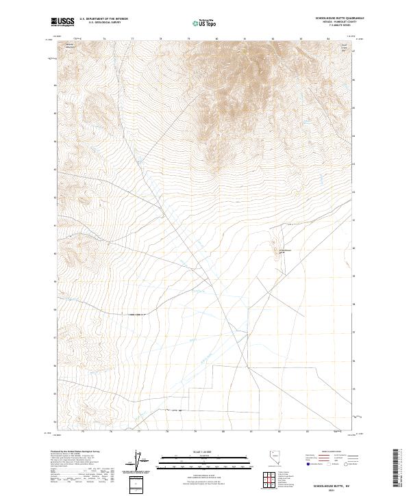
2021 Schoolhouse Butte
Humboldt County, NV
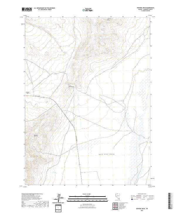
2021 Sentinel Rock
Humboldt County, NV
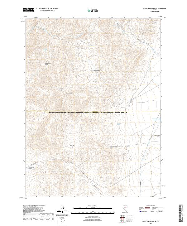
2021 Sheep Ranch Canyon
Humboldt County, NV
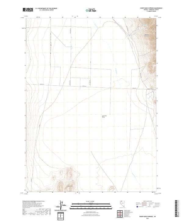
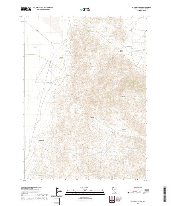
2021 Sheep Ranch Springs
Humboldt County, NV
2021 Shyster Butte
Humboldt County, NV
2021 Silver State Draw
Humboldt County, NV
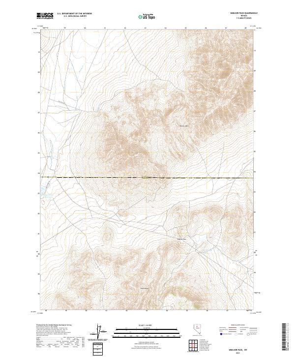
2021 Smelser Pass
Humboldt County, NV
2021 Snow Gulch
Humboldt County, NV
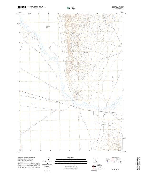
2021 Sod House
Humboldt County, NV
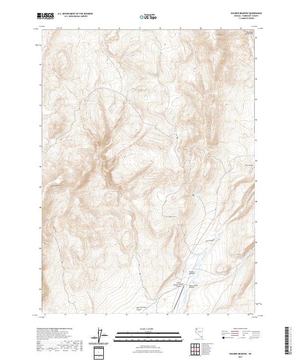
2021 Soldier Meadow
Humboldt County, NV
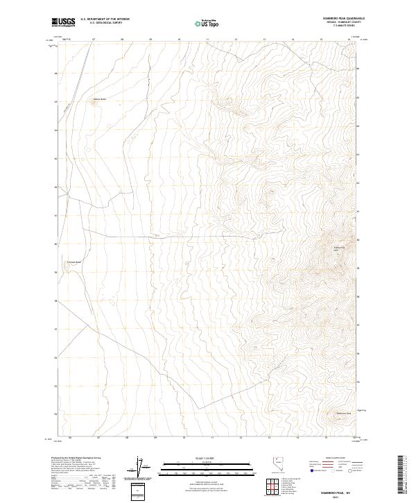
2021 Sombrero Peak
Humboldt County, NV
2021 South of McDermitt
Humboldt County, NV
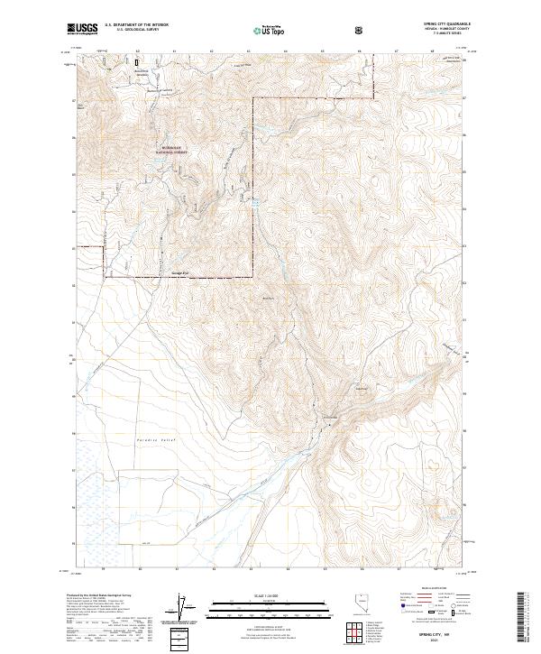
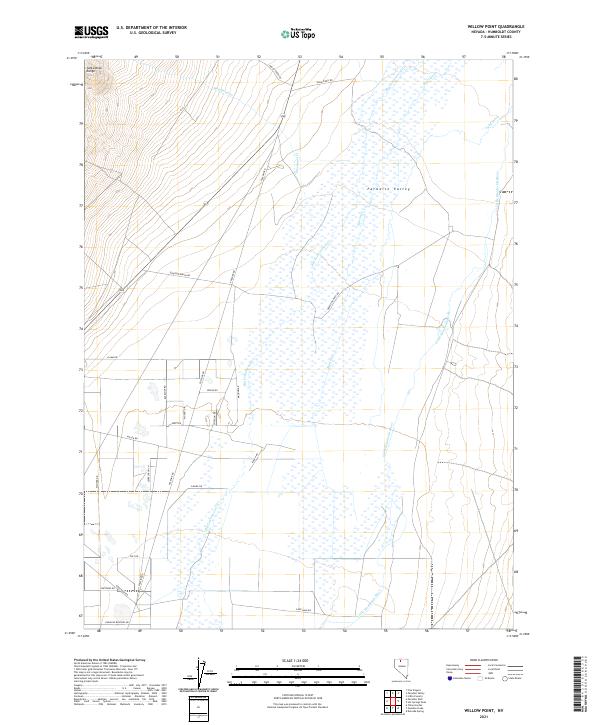
2021 Spring City
Humboldt County, NV
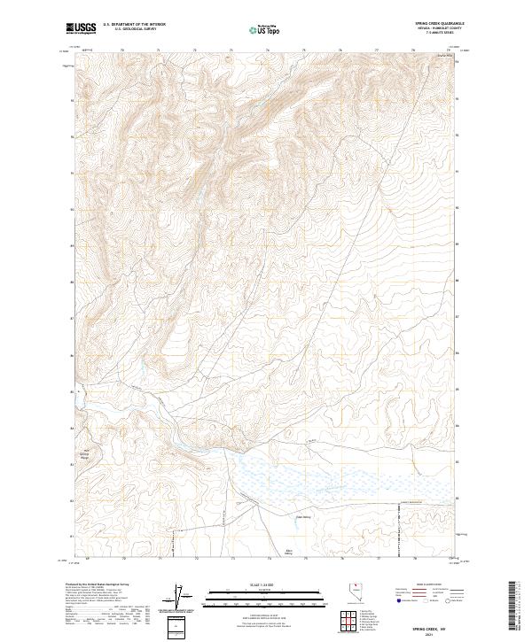
2021 Spring Creek
Humboldt County, NV

2021 Sugarloaf Knob
Humboldt County, NV
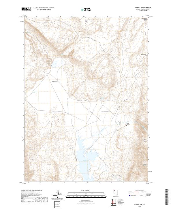
2021 Summit Lake
Humboldt County, NV
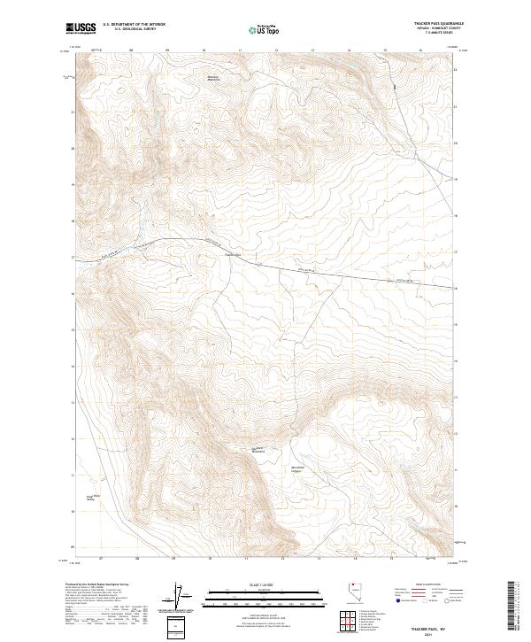
2021 Thacker Pass
Humboldt County, NV
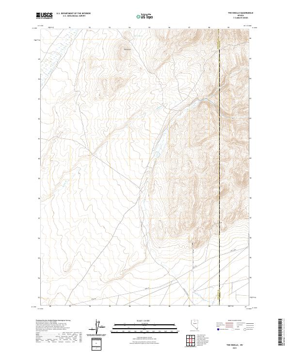
2021 The Knolls
Humboldt County, NV
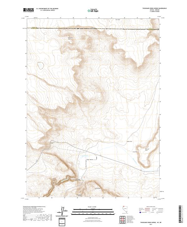
2021 Thousand Creek Gorge
Humboldt County, NV
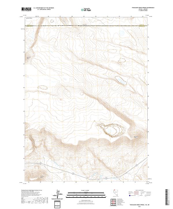
2021 Thousand Creek Spring
Humboldt County, NV
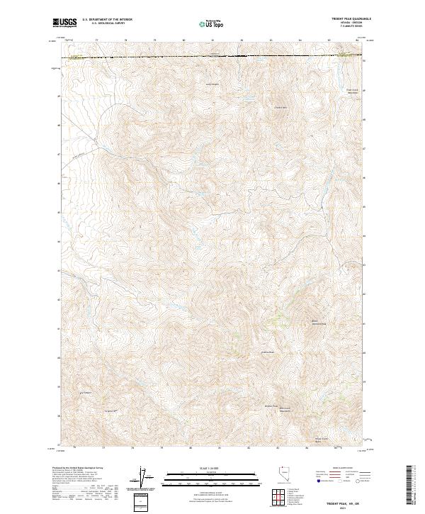
2021 Trident Peak
Humboldt County, NV
2021 Vicksburg Canyon
Humboldt County, NV
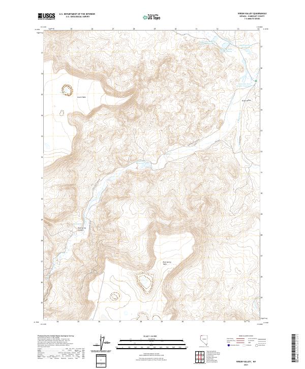
2021 Virgin Valley
Humboldt County, NV
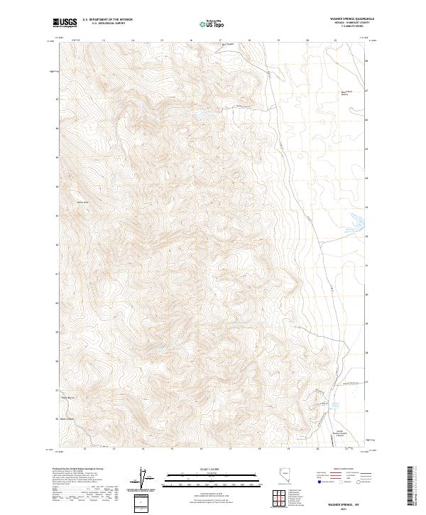
2021 Wagner Springs
Humboldt County, NV
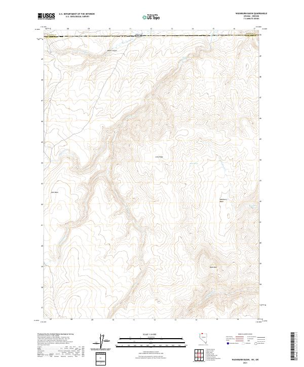
2021 Washburn Basin
Humboldt County, NV
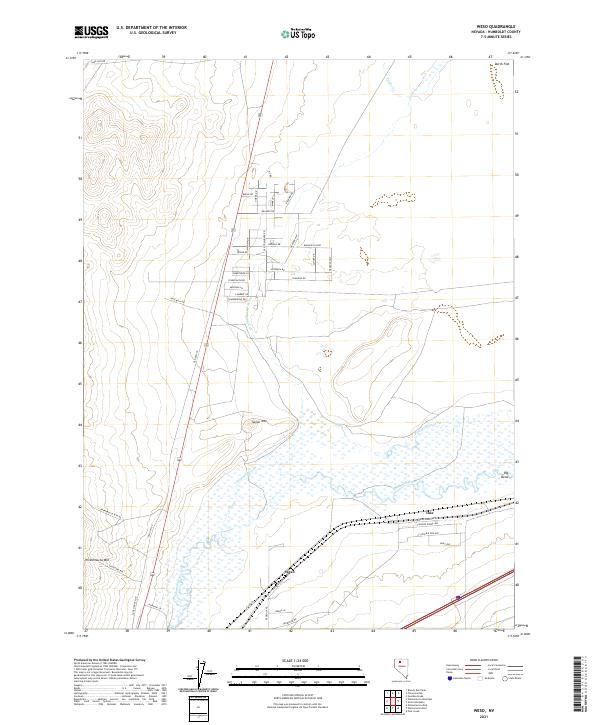
2021 Weso
Humboldt County, NV
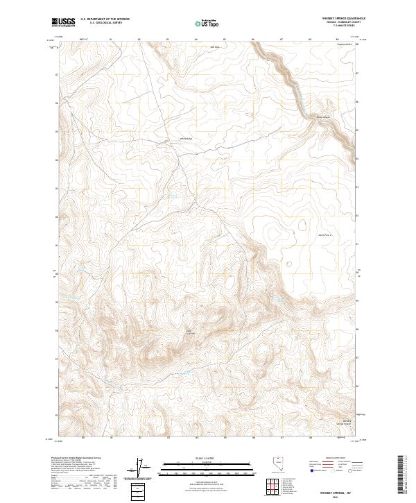
2021 Whiskey Springs
Humboldt County, NV
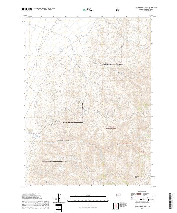
2021 White Rock Canyon
Humboldt County, NV

2021 Wilder Creek Ranch
Humboldt County, NV
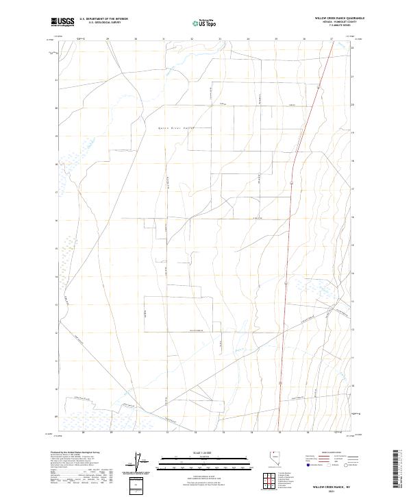
2021 Willow Creek Ranch
Humboldt County, NV
2021 Willow Point
Humboldt County, NV
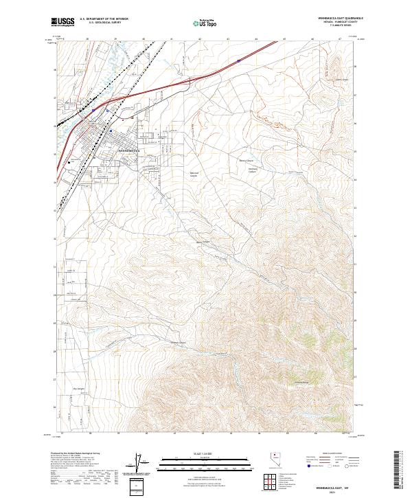
2021 Winnemucca East
Humboldt County, NV
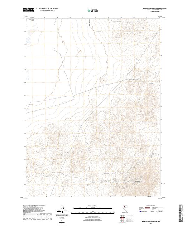
2021 Winnemucca Mountain
Humboldt County, NV
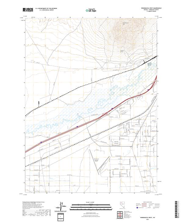
2021 Winnemucca West
Humboldt County, NV
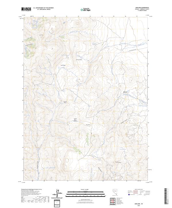
2023 Adelaide
Humboldt County, NV
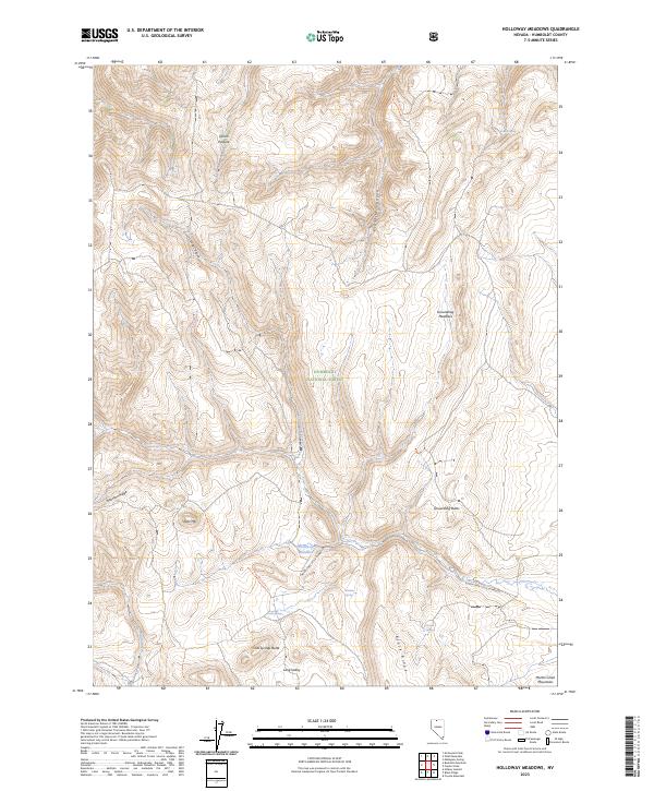
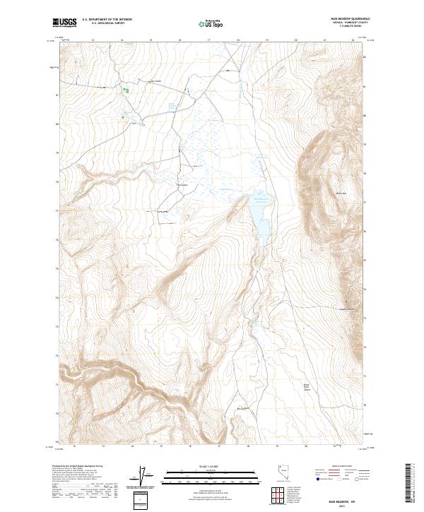
2023 Holloway Meadows
Humboldt County, NV
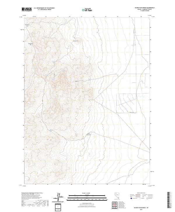
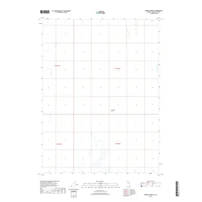
2023 Silver State Draw
Humboldt County, NV