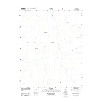
2012 Map of Disaster Peak
USGS Topo · Published 2012About this map
Disaster Peak and the surrounding high-altitude drainage basins of the Sierra Nevada define this area during the early 21st century. The landscape is characterized by a network of seasonal and perennial waters, including the E Fork Carson River and its northern tributary, the Clark Fork. Glacial and alpine features are prominent throughout the topography, as seen in the expansive basins of White Canyon and Murray Canyon.
Find a feature on this map
24 named features on this map. Tap any name to fly to it.
Don’t see what you’re looking for? This feature index may not catch every label — zoom into the map to look around manually.
Map Details
Editions of this 2012 Disaster Peak Map
This is the sole edition of this map. No revisions or reprints were ever made.
Other maps of this area

1889 · Markleeville
USGS Topo · 1:125,000

1891 · Markleeville
USGS Topo · 1:125,000

1893 · Markleeville
USGS Topo · 1:125,000

1896 · Dardanelles
USGS Topo · 1:125,000

1898 · Dardanelles
USGS Topo · 1:125,000

1948 · Walker Lake
USGS Topo · 1:250,000

1954 · Pickel Meadow
USGS Topo · 1:24,000

1954 · Lost Cannon Peak
USGS Topo · 1:24,000

1956 · Topaz Lake
USGS Topo · 1:62,500

1956 · Markleeville
USGS Topo · 1:62,500