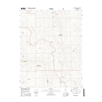
2015 Map of Disaster Peak
USGS Topo · Published 2015About this map
The high Sierra Nevada ridgeline forms a dramatic divide through this 2015 survey, which covers the boundary between Toiyabe National Forest and Stanislaus National Forest. The Pacific Crest National Scenic Trail winds across the landscape, providing a narrow corridor of human transit through the wilderness between peaks such as Disaster Peak and Stanislaus Peak. The terrain is characterized by steep glacial features, including the Clark Fork drainage and the granite formation known as The Iceberg. Several high-altitude water bodies are scattered throughout the quadrangle, including Golden Lake, Whitecliff Lake, and Poison Lake. This area at the border of Alpine and Tuolumne counties reflects a landscape managed for wilderness preservation, where names like Coyote Meadow and Iceberg Meadow indicate the mix of alpine grasslands and rock-dominated summits like Boulder Peak and Red Peak.
Find a feature on this map
33 named features on this map. Tap any name to fly to it.
Don’t see what you’re looking for? This feature index may not catch every label — zoom into the map to look around manually.
Map Details
Editions of this 2015 Disaster Peak Map
This is the sole edition of this map. No revisions or reprints were ever made.
Other maps of this area

1889 · Markleeville
USGS Topo · 1:125,000

1891 · Markleeville
USGS Topo · 1:125,000

1893 · Markleeville
USGS Topo · 1:125,000

1896 · Dardanelles
USGS Topo · 1:125,000

1898 · Dardanelles
USGS Topo · 1:125,000

1948 · Walker Lake
USGS Topo · 1:250,000

1954 · Pickel Meadow
USGS Topo · 1:24,000

1954 · Lost Cannon Peak
USGS Topo · 1:24,000

1956 · Topaz Lake
USGS Topo · 1:62,500

1956 · Markleeville
USGS Topo · 1:62,500