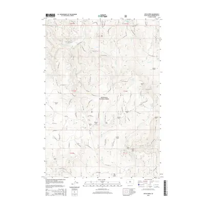
2015 Map of Ditch Creek
USGS Topo · Published 2015About this map
The high timber and deep drainage systems of the Black Hills National Forest define this 2015 survey of the Pennington County highlands. The landscape is marked by a series of prominent peaks and open clearings, most notably the high meadows of Gillette Prairie and the elevations of Hat Mtn, Green Mtn, and Odakota Mtn. This terrain is deeply dissected by a network of dry draws and seasonal waterways, including Sixmile Draw, Sawmill Draw, and Windmill Draw, which feed into larger systems like Gillette Canyon and the evocatively named West Hell Canyon.
Find a feature on this map
82 named features on this map. Tap any name to fly to it.
Don’t see what you’re looking for? This feature index may not catch every label — zoom into the map to look around manually.
Map Details
Editions of this 2015 Ditch Creek Map
This is the sole edition of this map. No revisions or reprints were ever made.
Other maps of this area

1894 · Deadwood
USGS Topo · 1:125,000

1896 · Harney Peak
USGS Topo · 1:125,000

1901 · Harney Peak
USGS Topo · 1:125,000

1901 · Deadwood
USGS Topo · 1:125,000

1916 · Deadwood
USGS Topo · 1:125,000

1953 · Rapid City
USGS Topo · 1:250,000

1954 · Berne
USGS Topo · 1:24,000

1955 · Dead Horse Flats
USGS Topo · 1:24,000

1955 · Signal Hill
USGS Topo · 1:24,000

1955 · Hot Springs
USGS Topo · 1:250,000