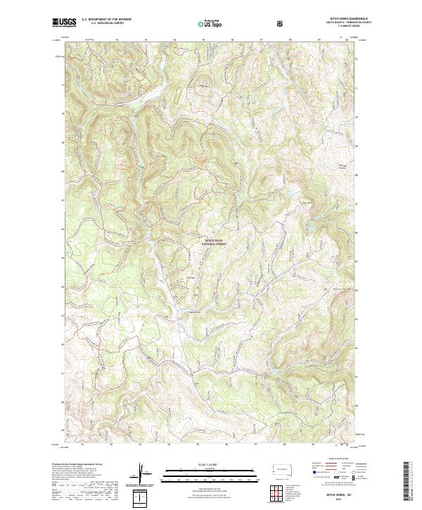
2021 Map of Ditch Creek
USGS Topo · Published 2021About this map
Black Hills National Forest land defines this landscape, where a complex network of forest trails and roads crisscross high-altitude prairies and mountain peaks. The area is characterized by high meadowlands like Gillette Prairie and Highland Park, surrounded by prominent summits including Odakota Mtn, Green Mtn, and Hat Mtn. This terrain is deeply etched by a system of draws and canyons, such as Gillette Canyon and Grand Vista Draw, which feed into major watercourses like Ditch Creek and South Castle Cr. Numerous water sources are tucked away in the topography, including Green Mountain Spring, Sixmile Spring, and Spring Creek Spring. The presence of many specialized forest routes, such as Ditch Creek RD and the various numbered trails like Ditch Creek 04 Trl, reveals a landscape managed for timber access and recreational use within the national forest system during the early twenty-first century.
Find a feature on this map
131 named features on this map. Tap any name to fly to it.
Don’t see what you’re looking for? This feature index may not catch every label — zoom into the map to look around manually.
Map Details
Editions of this 2021 Ditch Creek Map
This is the sole edition of this map. No revisions or reprints were ever made.
Other maps of this area

1894 · Deadwood
USGS Topo · 1:125,000

1896 · Harney Peak
USGS Topo · 1:125,000

1901 · Harney Peak
USGS Topo · 1:125,000

1901 · Deadwood
USGS Topo · 1:125,000

1916 · Deadwood
USGS Topo · 1:125,000

1953 · Rapid City
USGS Topo · 1:250,000

1954 · Berne
USGS Topo · 1:24,000

1955 · Dead Horse Flats
USGS Topo · 1:24,000

1955 · Signal Hill
USGS Topo · 1:24,000

1955 · Hot Springs
USGS Topo · 1:250,000