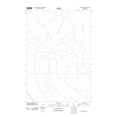
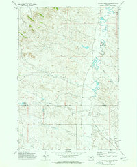
2011 Map of Divide School
USGS Topo · Published 2011About this map
Sand Creek dominates the drainage pattern of this landscape in Powder River County, Montana, carving a complex network of seasonal channels through the high plains. The map records a sparse human footprint characterized by a grid of rural roads and the prominent east-west artery of Divide Rd. This infrastructure reflects the expansive ranching and land-management practices of the early twenty-first century, where water access remains the primary driver of the local economy. Other significant waterways such as Big Bobcat Creek, Road Creek, and Dick Creek join the drainage system, illustrating the intricate hydrology required to sustain this portion of the Montana backcountry.
Find a feature on this map
6 named features on this map. Tap any name to fly to it.
Don’t see what you’re looking for? This feature index may not catch every label — zoom into the map to look around manually.
Map Details
Editions of this 2011 Divide School Map
This is the sole edition of this map. No revisions or reprints were ever made.
Other maps of this area

1954 · Ekalaka
USGS Topo · 1:250,000

1956 · Ekalaka
USGS Topo · 1:250,000

1958 · Ekalaka
USGS Topo · 1:250,000

1965 · Ekalaka
USGS Topo · 1:250,000
1973 · Harris Buttes
USGS Topo · 1:24,000
1973 · Saddle Horse Butte
USGS Topo · 1:24,000
1973 · Kirkpatrick Hill
USGS Topo · 1:24,000
1973 · Witcher Reservoir
USGS Topo · 1:24,000

1973 · Box Elder Creek
USGS Topo · 1:24,000

1973 · Coalwood
USGS Topo · 1:24,000