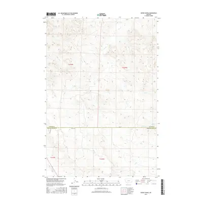
2017 Map of Divide School
USGS Topo · Published 2017About this map
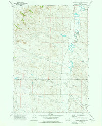
Divide School stands as a focal point in this remote corner of southeastern Montana, located just south of the border between Custer and Powder River counties. The landscape is defined by an intricate network of drainage systems, including Sand Creek and Deer Creek, which carve through the high plains terrain. Local transit relies on the junction of Divide Road and Bird Divide Road, which follow the higher ground between watersheds. The presence of Witcher Reservoir and seasonal watercourses like Big Bobcat Creek and Road Creek highlight the importance of water management in this cattle-ranching region. This survey captures the sparse but organized grid of Township 1 North and South, showing the isolation of rural educational outposts during the early 21st century.
Find a feature on this map
15 named features on this map. Tap any name to fly to it.
Don’t see what you’re looking for? This feature index may not catch every label — zoom into the map to look around manually.
Map Details
Editions of this 2017 Divide School Map
This is the sole edition of this map. No revisions or reprints were ever made.
Other maps of this area

1954 · Ekalaka
USGS Topo · 1:250,000

1956 · Ekalaka
USGS Topo · 1:250,000

1958 · Ekalaka
USGS Topo · 1:250,000

1965 · Ekalaka
USGS Topo · 1:250,000
1973 · Harris Buttes
USGS Topo · 1:24,000
1973 · Saddle Horse Butte
USGS Topo · 1:24,000
1973 · Kirkpatrick Hill
USGS Topo · 1:24,000
1973 · Witcher Reservoir
USGS Topo · 1:24,000

1973 · Box Elder Creek
USGS Topo · 1:24,000

1973 · Coalwood
USGS Topo · 1:24,000