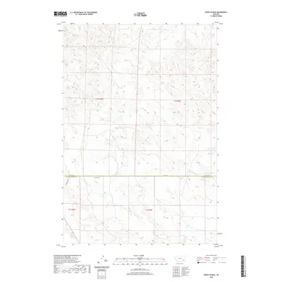
2020 Map of Divide School
USGS Topo · Published 2020About this map
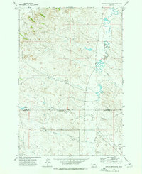
Divide School sits at the intersection of rural education and boundary lines in this corner of southeastern Montana. Positioned exactly on the border of Custer and Powder River Counties, this site represents the community hubs that served dispersed ranching families across the high plains. The landscape is defined by an intricate drainage network including Sand Creek, Deer Creek, and Big Bobcat Creek, which carve through the terrain. A human imprint is visible through the infrastructure of water management at Witcher Reservoir and the primitive road systems like Bird Divide Road and Divide Road. These routes follow the natural high points between drainage basins, a common trait in this region where topography dictates transportation.
Find a feature on this map
15 named features on this map. Tap any name to fly to it.
Don’t see what you’re looking for? This feature index may not catch every label — zoom into the map to look around manually.
Map Details
Editions of this 2020 Divide School Map
This is the sole edition of this map. No revisions or reprints were ever made.
Other maps of this area

1954 · Ekalaka
USGS Topo · 1:250,000

1956 · Ekalaka
USGS Topo · 1:250,000

1958 · Ekalaka
USGS Topo · 1:250,000

1965 · Ekalaka
USGS Topo · 1:250,000
1973 · Harris Buttes
USGS Topo · 1:24,000
1973 · Saddle Horse Butte
USGS Topo · 1:24,000
1973 · Kirkpatrick Hill
USGS Topo · 1:24,000
1973 · Witcher Reservoir
USGS Topo · 1:24,000

1973 · Box Elder Creek
USGS Topo · 1:24,000

1973 · Coalwood
USGS Topo · 1:24,000