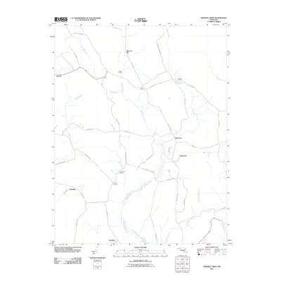
2011 Map of Dividing Creek
USGS Topo · Published 2011About this map
Dividing Creek defines the local landscape, winding through a network of small Maryland settlements and family-named homesteads. The area is marked by a high density of burial grounds, including Nazareth Cemetery and Olivet Cemetery, suggesting a deeply rooted rural community in the early 21st century. The terrain remains largely undeveloped, characterized by low-lying wetlands around Pusey Branch and the prominent Blueberry Hill.
Find a feature on this map
49 named features on this map. Tap any name to fly to it.
Don’t see what you’re looking for? This feature index may not catch every label — zoom into the map to look around manually.
Map Details
Editions of this 2011 Dividing Creek Map
This is the sole edition of this map. No revisions or reprints were ever made.
Other maps of this area

1901 · Snow Hill
USGS Topo · 1:62,500

1901 · Salisbury
USGS Topo · 1:62,500

1902 · Pittsville
USGS Topo · 1:62,500

1942 · Kingston
USGS Topo · 1:24,000

1942 · Princess Anne
USGS Topo · 1:24,000

1942 · Snow Hill
USGS Topo · 1:24,000

1942 · Eden
USGS Topo · 1:24,000

1942 · Wango
USGS Topo · 1:24,000

1942 · Dividing Creek
USGS Topo · 1:24,000

1942 · Salisbury
USGS Topo · 1:24,000