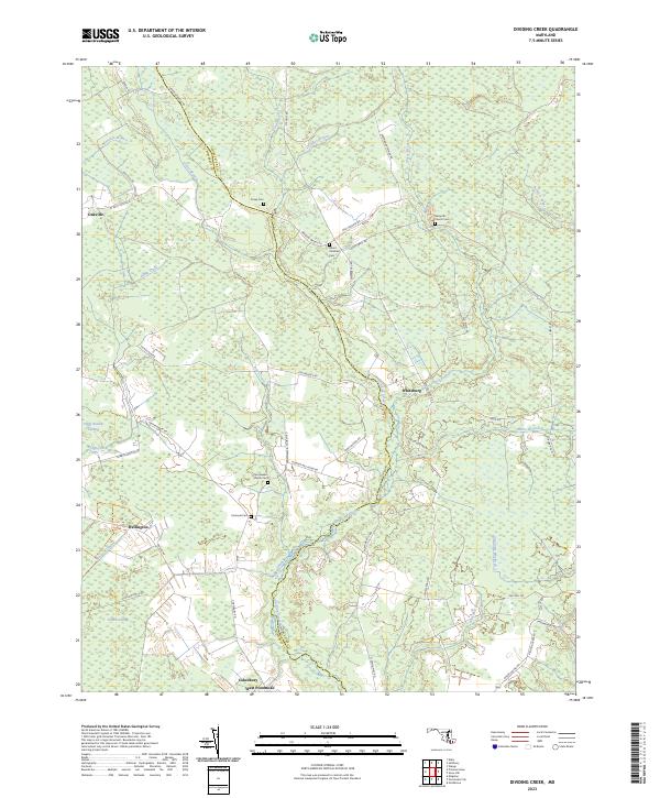
2023 Map of Dividing Creek
USGS Topo · Published 2023About this map
Dividing Creek defines the boundary between Somerset and Worcester Counties, cutting through a landscape characterized by low-lying wetlands and scattered rural settlements. Small communities like Oakville, Whiteburg, and Wellington are linked by a network of winding roads, including Meadow Bridge Rd and Whitesburg Rd. The area is notably rich in small cemeteries and rural churches, such as Nazareth Church Cem and Perryhawkin Church Cem, which serve as vital markers for genealogical research in this part of Maryland.
Find a feature on this map
61 named features on this map. Tap any name to fly to it.
Don’t see what you’re looking for? This feature index may not catch every label — zoom into the map to look around manually.
Map Details
Editions of this 2023 Dividing Creek Map
This is the sole edition of this map. No revisions or reprints were ever made.
Other maps of this area

1901 · Snow Hill
USGS Topo · 1:62,500

1901 · Salisbury
USGS Topo · 1:62,500

1902 · Pittsville
USGS Topo · 1:62,500

1942 · Kingston
USGS Topo · 1:24,000

1942 · Princess Anne
USGS Topo · 1:24,000

1942 · Snow Hill
USGS Topo · 1:24,000

1942 · Eden
USGS Topo · 1:24,000

1942 · Wango
USGS Topo · 1:24,000

1942 · Dividing Creek
USGS Topo · 1:24,000

1942 · Salisbury
USGS Topo · 1:24,000