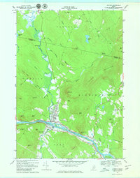
1968 Map of Dixfield
USGS Topo · Published 1980About this map
The Androscoggin River flows along the southern edge of this Maine quadrangle, serving as the primary geographic corridor for the Maine Central railroad and the towns of Peru and West Peru. Just to the north, the Webb River snakes down from the highlands, passing through the primary settlement at Dixfield. This landscape is defined by its transition from riverbank industry to high ridges, including Holman Mountain and Harlow Ridge. Local history is preserved in the location of several family and community landmarks, such as Riverside Cem and Knight Cem. The map illustrates a rural economy still shaped by the terrain, with features like Gravel Pit operations and well-defined field lines marking the hillsides. Named features such as The Falls and Bull Rock denote specific navigational and geographic markers in a region where the water and the mountains dictated the paths of the Chase Kingdom Road and other early routes.
Find a feature on this map
56 named features on this map. Tap any name to fly to it.
Don’t see what you’re looking for? This feature index may not catch every label — zoom into the map to look around manually.
Map Details
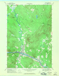
Editions of this 1968 Dixfield Map
2 editions found
Other maps of this area

1911 · Bryant Pond
USGS Topo · 1:62,500

1911 · Buckfield
USGS Topo · 1:62,500

1913 · Buckfield
USGS Topo · 1:62,500

1914 · Bryant Pond
USGS Topo · 1:62,500

1926 · Dixfield
USGS Topo · 1:62,500

1927 · Rumford
USGS Topo · 1:48,000

1929 · Dixfield
USGS Topo · 1:62,500

1930 · Rumford
USGS Topo · 1:62,500

1942 · Buckfield
USGS Topo · 1:62,500

1942 · Bryant Pond
USGS Topo · 1:62,500