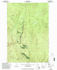
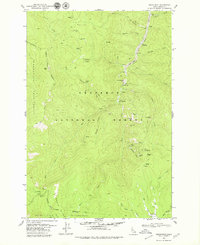
1995 Map of Dixie
USGS Topo · Published 1999About this map
Mining operations and remote forest settlements dominate this high-altitude landscape within the Nez Perce National Forest during the mid-1990s. The small community of Dixie sits at the heart of the district, surrounded by evidence of an intensive prospecting history along Crooked Creek. Remnants of earlier habitation and industry are frequent, including the Dixie House (Ruins) and the former location of Midasville.
Find a feature on this map
59 named features on this map. Tap any name to fly to it.
Don’t see what you’re looking for? This feature index may not catch every label — zoom into the map to look around manually.
Map Details
Editions of this 1995 Dixie Map
This is the sole edition of this map. No revisions or reprints were ever made.
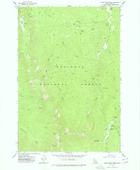
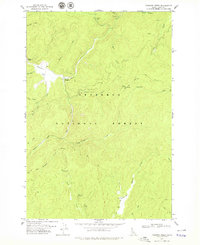
Other maps of this area

1931 · Buffalo Hump
USGS Topo · 1:125,000

1934 · Buffalo Hump
USGS Topo · 1:125,000
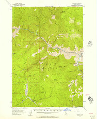
1956 · Warren
USGS Topo · 1:62,500

1956 · Elk City
USGS Topo · 1:250,000

1960 · Elk City
USGS Topo · 1:250,000
1977 · Silver Spur Ridge
USGS Topo · 1:24,000

1978 · Moose Butte
USGS Topo · 1:24,000
1978 · Trapper Creek
USGS Topo · 1:24,000
1979 · Orogrande
USGS Topo · 1:24,000
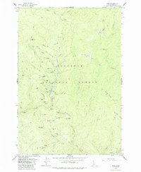
1979 · Dixie
USGS Topo · 1:24,000