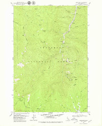
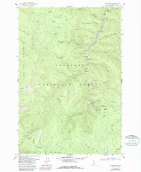
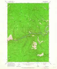
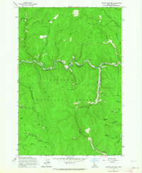
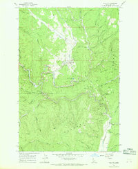
1979 Map of Orogrande
USGS Topo · Published 1979About this map
Orogrande and the neighboring site of Old Orogrande anchor this survey of the high-elevation mining country within the Nez Perce National Forest. The landscape is heavily marked by the region's extraction history, featuring an extensive network of claims including the Homestake Mine, Penman Mine, and Gnome Mine. Evidence of large-scale industrial operations appears along the Crooked River in the form of Dredge Tailings and the Orogrande Frisco Mine, while the remote nature of these camps is underscored by the Orogrande Landing Strip and various pack trails.
Find a feature on this map
65 named features on this map. Tap any name to fly to it.
Don’t see what you’re looking for? This feature index may not catch every label — zoom into the map to look around manually.
Map Details
Editions of this 1979 Orogrande Map
2 editions found
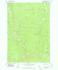
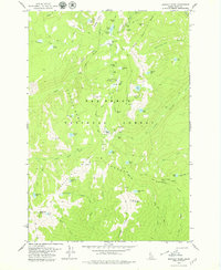
Other maps of this area

1931 · Buffalo Hump
USGS Topo · 1:125,000

1934 · Buffalo Hump
USGS Topo · 1:125,000

1956 · Elk City
USGS Topo · 1:250,000

1960 · Elk City
USGS Topo · 1:250,000
1962 · Golden
USGS Topo · 1:24,000
1962 · Center Star Mtn
USGS Topo · 1:24,000
1966 · Elk City
USGS Topo · 1:24,000
1977 · Silver Spur Ridge
USGS Topo · 1:24,000

1978 · Moose Butte
USGS Topo · 1:24,000
1979 · Buffalo Hump
USGS Topo · 1:24,000