
1979 Map of Buffalo Hump
USGS Topo · Published 1979About this map
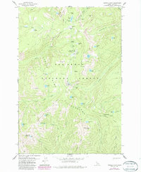
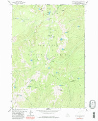
Mining heritage defines the high ridges of the Nez Perce National Forest, where late-twentieth-century surveys documented a landscape of former boomtowns and extracted wealth. The central prominence of Buffalo Hump is surrounded by a network of historic workings, including the Big Buffalo Mine, Ajax Mine, and the Concord Mine. These sites represent the remains of a once-active gold district, now preserved within the Gospel-Hump Wilderness.
Find a feature on this map
71 named features on this map. Tap any name to fly to it.
Don’t see what you’re looking for? This feature index may not catch every label — zoom into the map to look around manually.
Map Details
Editions of this 1979 Buffalo Hump Map
3 editions found
Other maps of this area

1931 · Buffalo Hump
USGS Topo · 1:125,000

1934 · Buffalo Hump
USGS Topo · 1:125,000

1956 · Burgdorf
USGS Topo · 1:62,500

1956 · Warren
USGS Topo · 1:62,500

1956 · Elk City
USGS Topo · 1:250,000

1960 · Elk City
USGS Topo · 1:250,000

1963 · Sourdough Peak
USGS Topo · 1:24,000

1963 · Marble Butte
USGS Topo · 1:24,000

1977 · Silver Spur Ridge
USGS Topo · 1:24,000
1979 · Orogrande
USGS Topo · 1:24,000