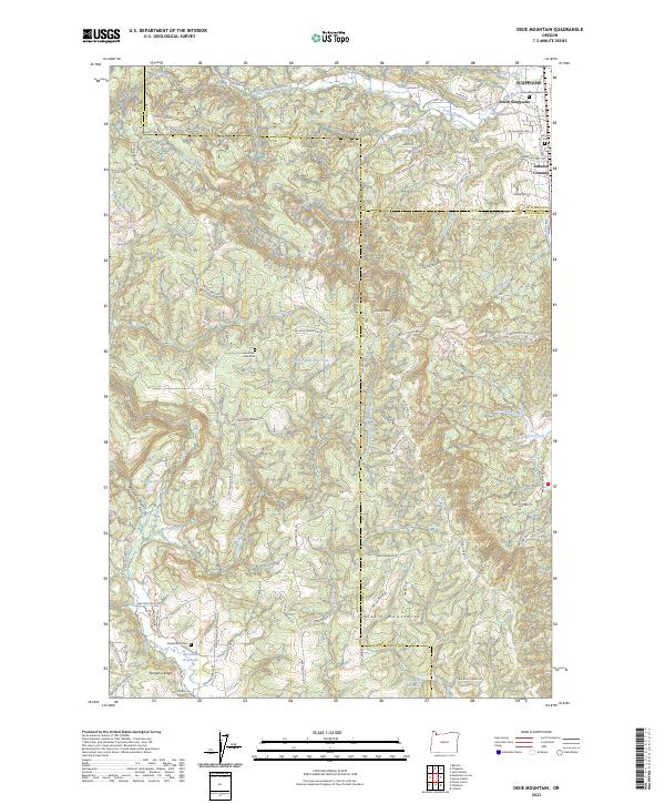
2023 Map of Dixie Mountain
USGS Topo · Published 2023About this map
Dixie Mtn rises at the heart of this landscape where the borders of Washington, Multnomah, and Columbia Counties converge. The northeastern corner is dominated by the growth of Scappoose and South Scappoose, with residential corridors extending toward Johnson Crossing. This map documents a complex network of ridgeline roads and rural settlements, characterized by numerous burial grounds including Saint Wenceslaus Cem and the Mountain View Cem.
Find a feature on this map
90 named features on this map. Tap any name to fly to it.
Don’t see what you’re looking for? This feature index may not catch every label — zoom into the map to look around manually.
Map Details
Editions of this 2023 Dixie Mountain Map
This is the sole edition of this map. No revisions or reprints were ever made.
Other maps of this area

1915 · Hillsboro
USGS Topo · 1:62,500

1918 · Hillsboro
USGS Topo · 1:62,500

1922 · St. Helens
USGS Topo · 1:62,500

1940 · Hillsboro
USGS Topo · 1:62,500

1940 · Vernonia
USGS Topo · 1:62,500

1941 · St Helens
USGS Topo · 1:62,500

1941 · Gales Creek
USGS Topo · 1:62,500

1943 · Vernonia
USGS Topo · 1:62,500

1943 · St Helens
USGS Topo · 1:62,500

1948 · Vancouver
USGS Topo · 1:250,000