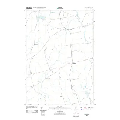
2011 Map of Dixmont
USGS Topo · Published 2011About this map
Martin Stream winds through the heart of this Penobscot County landscape, connecting a network of crossroads settlements and small farmsteads. The area around Dixmont and North Dixmont is defined by its agricultural layout, with long-standing family names preserved in locations like Hows Corners and Huise Corners. Significant topographical markers like Mount Harris and Common Hill overlook the local drainages of Great Farm Brook and the North Branch Marsh Stream. For those researching local families, the map identifies several burial grounds including Sawyer Cemetery near Plymouth Pond and the Webster Cemetery along Webster Cemetery Rd. The transition from the rural village of Troy to the higher elevations of the central hills reveals a landscape still largely structured by the early road and water networks that supported the nineteenth-century economy, visible at sites like Rollins Mills.
Find a feature on this map
68 named features on this map. Tap any name to fly to it.
Don’t see what you’re looking for? This feature index may not catch every label — zoom into the map to look around manually.
Map Details
Editions of this 2011 Dixmont Map
This is the sole edition of this map. No revisions or reprints were ever made.
Other maps of this area

1926 · Burnham
USGS Topo · 1:62,500

1930 · Pittsfield
USGS Topo · 1:48,000

1931 · Stetson
USGS Topo · 1:48,000

1932 · Brooks
USGS Topo · 1:62,500

1932 · Pittsfield
USGS Topo · 1:62,500

1933 · Pittsfield
USGS Topo · 1:62,500

1935 · Stetson
USGS Topo · 1:62,500

1948 · Bangor
USGS Topo · 1:250,000

1955 · Pittsfield
USGS Topo · 1:62,500

1955 · Brooks
USGS Topo · 1:62,500