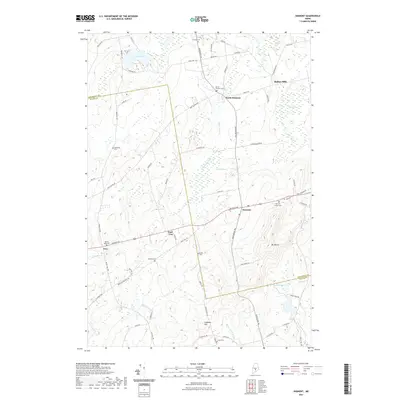
2021 Map of Dixmont
USGS Topo · Published 2021About this map
Mt Harris stands as a prominent landmark in this rural Maine landscape, overseeing a terrain defined by small settlements and numerous family-named burial grounds. The map documents the persistent agricultural and village patterns of Dixmont and North Dixmont, where roads like the Moosehead Trl connect the community. To the west, the village of Troy and its neighbor East Troy sit near the wetlands of Bog Brook. Local history is deeply etched into the land through an unusually high concentration of small cemeteries, including the Sawyer Cem, Snow Cem, and Jewell Cem, which offer significant value for genealogical research. Water features such as Martin Stream and Cates Meadows suggest a long history of water-dependent industry and meadow farming, while the label for Rollins Mills in the northeast corner points to former milling sites along the streams crossing the Penobscot and Waldo county line.
Find a feature on this map
72 named features on this map. Tap any name to fly to it.
Don’t see what you’re looking for? This feature index may not catch every label — zoom into the map to look around manually.
Map Details
Editions of this 2021 Dixmont Map
This is the sole edition of this map. No revisions or reprints were ever made.
Other maps of this area

1926 · Burnham
USGS Topo · 1:62,500

1930 · Pittsfield
USGS Topo · 1:48,000

1931 · Stetson
USGS Topo · 1:48,000

1932 · Brooks
USGS Topo · 1:62,500

1932 · Pittsfield
USGS Topo · 1:62,500

1933 · Pittsfield
USGS Topo · 1:62,500

1935 · Stetson
USGS Topo · 1:62,500

1948 · Bangor
USGS Topo · 1:250,000

1955 · Pittsfield
USGS Topo · 1:62,500

1955 · Brooks
USGS Topo · 1:62,500