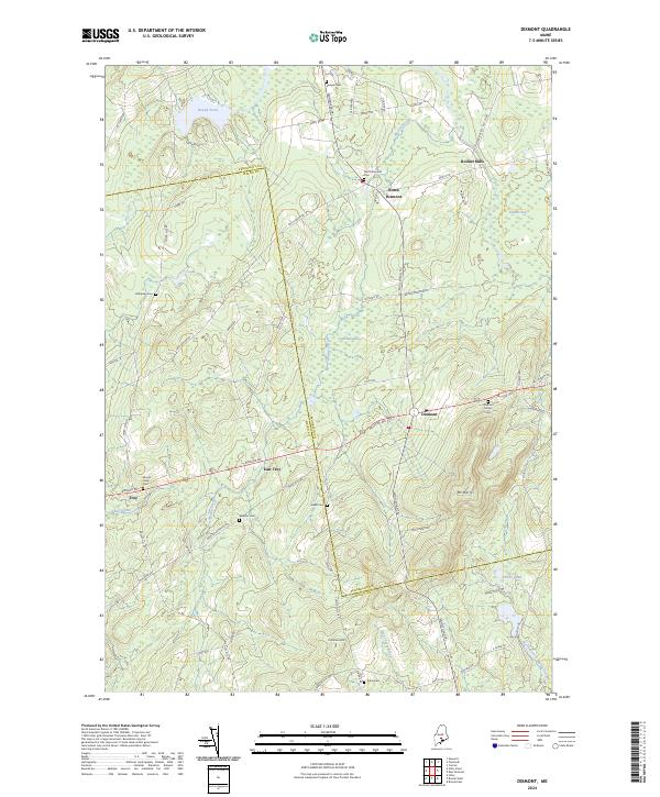
2024 Map of Dixmont
USGS Topo · Published 2024About this map
Mt Harris stands as a prominent landmark in this rural landscape where Penobscot and Waldo counties meet. The settlement patterns of Dixmont and North Dixmont are centered around historical road corridors like the Moosehead Trl, while the small cluster at Rollins Mills suggests earlier water-powered industry along Martin Stream. For genealogists, the map is remarkably dense with family-named burial sites, including the Sawyer Cem, Hathaway Cem, and Jewell Cem, many of which are tucked away from the main thoroughfares. The terrain is characterized by extensive wetlands such as Skinner Bog and Cates Meadows, which have historically dictated the placement of farms and connector roads like Troy Center Rd. The survey provides a clear view of the transition from the upland heights near Common Hill to the stream-fed basins of Bog Brook and Great Farm Brook.
Find a feature on this map
72 named features on this map. Tap any name to fly to it.
Don’t see what you’re looking for? This feature index may not catch every label — zoom into the map to look around manually.
Map Details
Editions of this 2024 Dixmont Map
This is the sole edition of this map. No revisions or reprints were ever made.
Other maps of this area

1926 · Burnham
USGS Topo · 1:62,500

1930 · Pittsfield
USGS Topo · 1:48,000

1931 · Stetson
USGS Topo · 1:48,000

1932 · Brooks
USGS Topo · 1:62,500

1932 · Pittsfield
USGS Topo · 1:62,500

1933 · Pittsfield
USGS Topo · 1:62,500

1935 · Stetson
USGS Topo · 1:62,500

1948 · Bangor
USGS Topo · 1:250,000

1955 · Pittsfield
USGS Topo · 1:62,500

1955 · Brooks
USGS Topo · 1:62,500