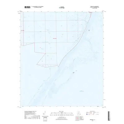
2018 Map of Dixon Bay
USGS Topo · Published 2018About this map
Southwest Pass dominates this coastal landscape, serving as a critical deep-water channel through the Mississippi River Delta toward the Gulf of Mexico. The survey illustrates the complex transition from marshland to open water, defined by a network of interconnected bays and bayous. Significant water bodies like Bay Macoin, Porpoise Bay, and Dixon Bay are separated by narrow land strips and ephemeral drainage channels. To the east, Grand Isle and the Caminada Pass mark the edge of the barrier island system. The map details the intricate hydrography of the delta's lower reaches, including named outlets like Outlet E-1 and Outlet W-1, which characterize the active sediment distribution and coastal erosion processes inherent to Plaquemines Parish. This maritime environment is further shaped by Joseph Bayou and Double Bayou, which meander through the wetlands toward West Bay.
Find a feature on this map
29 named features on this map. Tap any name to fly to it.
Don’t see what you’re looking for? This feature index may not catch every label — zoom into the map to look around manually.
Map Details
Editions of this 2018 Dixon Bay Map
This is the sole edition of this map. No revisions or reprints were ever made.
Other maps of this area

1893 · East Delta
USGS Topo · 1:62,500

1893 · West Delta
USGS Topo · 1:62,500

1935 · South Pass
USGS Topo · 1:31,680

1946 · Pass Du Bois
USGS Topo · 1:31,680

1946 · Mudpan Bayou
USGS Topo · 1:31,680

1946 · Pass Tante Phine
USGS Topo · 1:31,680

1947 · Pass A Loutre West
USGS Topo · 1:31,680

1947 · Southwest Pass
USGS Topo · 1:31,680

1949 · Cubits Gap
USGS Topo · 1:31,680
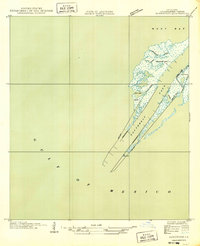
1949 · Burrwood
USGS Topo · 1:31,680