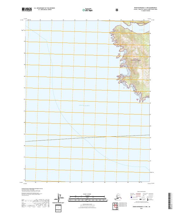
2021 Map of Dixon Entrance C-3 NW
USGS Topo · Published 2021About this map
The rocky eastern coastline of the Tongass National Forest meets the open waters of the Gulf of Alaska in this recent survey of a secluded Alaskan wilderness. The map focuses on a dramatic series of headlands and inlets, including Security Point and Point Cornwallis, where the terrain rises sharply from the sea toward the summit of Stripe Mtn.
Find a feature on this map
11 named features on this map. Tap any name to fly to it.
Don’t see what you’re looking for? This feature index may not catch every label — zoom into the map to look around manually.
Map Details
Editions of this 2021 Dixon Entrance C-3 NW Map
This is the sole edition of this map. No revisions or reprints were ever made.
Other maps of this area
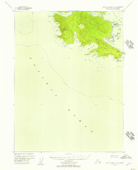
1948 · Dixon Entrance C-3
USGS Topo · 1:63,360

1948 · Dixon Entrance D-4
USGS Topo · 1:63,360

1948 · Dixon Entrance D-3
USGS Topo · 1:63,360

1951 · Dixon Entrance
USGS Topo · 1:250,000

1951 · Dixon Entrance D-3
USGS Topo · 1:63,360
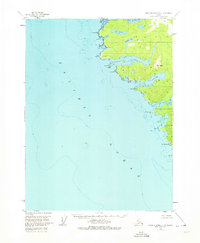
1951 · Dixon Entrance D-4
USGS Topo · 1:63,360

1959 · Dixon Entrance
USGS Topo · 1:250,000
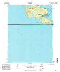
1994 · Dixon Entrance C-3
USGS Topo · 1:63,360
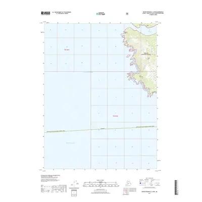
2017 · Dixon Entrance C-3 NW
USGS Topo · 1:25,000
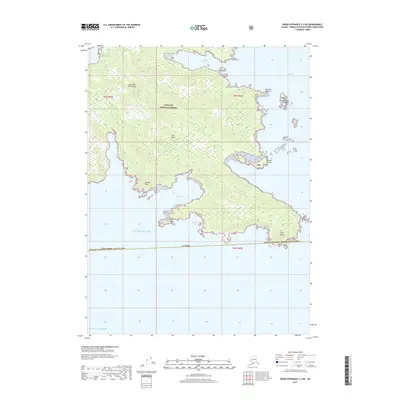
2017 · Dixon Entrance C-3 NE
USGS Topo · 1:25,000