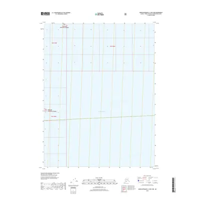
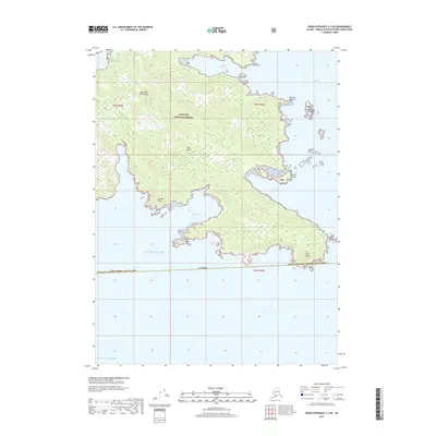
2018 Map of Dixon Entrance C-3 OE E NW
USGS Topo · Published 2018About this map
Pacific Ocean waters dominate this coastal quadrangle, representing the maritime environment of Southeast Alaska. The land area shown is designated as part of the Tongass National Forest, illustrating the federal management of the region's vast timber and coastal resources. Surveyed in 2018, the map documents the township and range lines across this remote maritime landscape, including t82s r85e, t82s r86e, and t83s r85e. This specific section captures the intersection of open ocean and protected forest lands in the Prince of Wales-Hyder Census Area.
Find a feature on this map
5 named features on this map. Tap any name to fly to it.
Don’t see what you’re looking for? This feature index may not catch every label — zoom into the map to look around manually.
Map Details
Editions of this 2018 Dixon Entrance C-3 OE E NW Map
This is the sole edition of this map. No revisions or reprints were ever made.
Other maps of this area

1948 · Dixon Entrance D-2
USGS Topo · 1:63,360
1948 · Dixon Entrance C-3
USGS Topo · 1:63,360

1948 · Dixon Entrance D-3
USGS Topo · 1:63,360

1951 · Dixon Entrance
USGS Topo · 1:250,000

1951 · Dixon Entrance D-3
USGS Topo · 1:63,360

1951 · Dixon Entrance D-2
USGS Topo · 1:63,360

1959 · Dixon Entrance
USGS Topo · 1:250,000
1994 · Dixon Entrance C-3
USGS Topo · 1:63,360
2017 · Dixon Entrance D-2 SW
USGS Topo · 1:25,000
2017 · Dixon Entrance C-3 NE
USGS Topo · 1:25,000