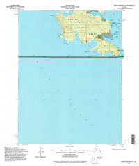
1994 Map of Dixon Entrance C-3
USGS Topo · Published 1998About this map
Dall Island occupies the upper half of this coastal survey, where the southern reaches of the Tongass National Forest meet the Pacific Ocean. This is a landscape defined by deep maritime indentations and high peaks, notably Stripe Mountain and the prominent southern tip at Cape Muzon. For researchers of Alaskan history, the presence of the Kaigani (Site) near Kaigani Strait marks a location of cultural significance, while the small settlement of Muzon sits at the base of the island's mountainous interior. The mapping reveals early 20th-century infrastructure reaching these maritime outposts, including an Underground Cable (Aband) that once crossed the waters between Mc Leod Bay and the nearby Datzkoo Islands. The terrain is characterized by a series of sheltered inlets such as Security Cove, Liscome Bay, and Wolk Harbor, which historically provided refuge for vessels navigating the outer coast.
Find a feature on this map
24 named features on this map. Tap any name to fly to it.
Don’t see what you’re looking for? This feature index may not catch every label — zoom into the map to look around manually.
Map Details
Editions of this 1994 Dixon Entrance C-3 Map
This is the sole edition of this map. No revisions or reprints were ever made.
Other maps of this area

1948 · Dixon Entrance D-2
USGS Topo · 1:63,360
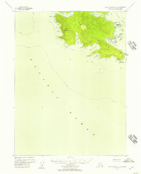
1948 · Dixon Entrance C-3
USGS Topo · 1:63,360

1948 · Dixon Entrance D-4
USGS Topo · 1:63,360

1948 · Dixon Entrance D-3
USGS Topo · 1:63,360

1951 · Dixon Entrance
USGS Topo · 1:250,000

1951 · Dixon Entrance D-3
USGS Topo · 1:63,360

1951 · Dixon Entrance D-2
USGS Topo · 1:63,360
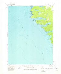
1951 · Dixon Entrance D-4
USGS Topo · 1:63,360

1959 · Dixon Entrance
USGS Topo · 1:250,000
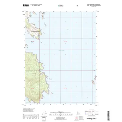
2017 · Dixon Entrance D-2 SW
USGS Topo · 1:25,000