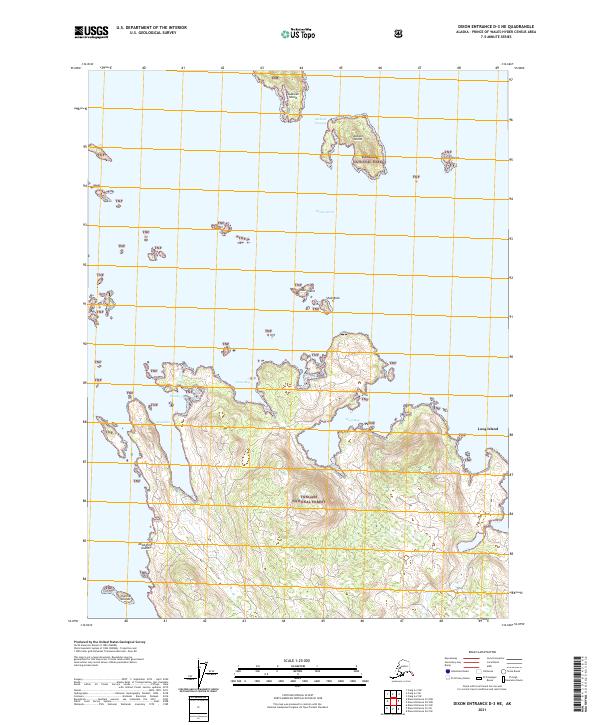
2021 Map of Dixon Entrance D-3 NE
USGS Topo · Published 2021About this map
Tongass National Forest dominates this maritime landscape in the Prince of Wales-Hyder Census Area, where the Pacific coastline dissolves into a complex network of straits and inlets. The island-rich waters are characterized by the wide Tlevak Strait and protected passages like Jackson Passage. This 2021 topographic study reveals a rugged archipelago including Sukkwan Island and Long Island, separated by deep-water features like Cleva Bay and Dova Bay. The naming of smaller landmarks such as Shoe Island, Shoe Rock, and Dead Pine Island suggests a history of coastal navigation and local identification within the national forest boundaries. The survey illustrates the contemporary topography of this remote island group, showing the intricate relationship between the elevated timberlands and the surrounding tidal inlets.
Find a feature on this map
23 named features on this map. Tap any name to fly to it.
Don’t see what you’re looking for? This feature index may not catch every label — zoom into the map to look around manually.
Map Details
Editions of this 2021 Dixon Entrance D-3 NE Map
This is the sole edition of this map. No revisions or reprints were ever made.
Other maps of this area

1948 · Dixon Entrance D-2
USGS Topo · 1:63,360

1948 · Dixon Entrance D-3
USGS Topo · 1:63,360

1948 · Craig A-3
USGS Topo · 1:63,360

1948 · Craig A-2
USGS Topo · 1:63,360

1951 · Dixon Entrance
USGS Topo · 1:250,000

1951 · Dixon Entrance D-3
USGS Topo · 1:63,360

1951 · Dixon Entrance D-2
USGS Topo · 1:63,360

1951 · Craig A-2
USGS Topo · 1:63,360

1951 · Craig A-3
USGS Topo · 1:63,360

1957 · Craig
USGS Topo · 1:250,000