
1951 Map of Craig A-2
USGS Topo · Published 1965About this map
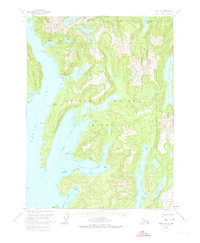
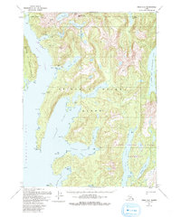
Coppermount and the industrial remnants of copper mining define this rugged stretch of Prince of Wales Island during the mid-twentieth century. The landscape is marked by the decline of early mining operations, notably at Jumbo Basin and Copper Mtn, where an Aerial Tram once transported ore down to the shoreline. Coastal settlements that supported these efforts, including Copper City and Hetta, are recorded here as defunct, offering a clear record of the area's shifting economic focus toward the surrounding Tongass National Forest. Inland, the terrain is dominated by a complex network of freshwater lakes like Hetta Lake and Lake Josephine, while the coast is deeply incised by saltwater features such as Nutkwa Inlet and Klakas Inlet. The presence of the Corbin Mine near Corbin Pt further illustrates the localized intensity of extraction that once thrived along these isolated inlets.
Find a feature on this map
47 named features on this map. Tap any name to fly to it.
Don’t see what you’re looking for? This feature index may not catch every label — zoom into the map to look around manually.
Map Details
Editions of this 1951 Craig A-2 Map
3 editions found
Other maps of this area

1948 · Dixon Entrance D-2
USGS Topo · 1:63,360

1948 · Craig A-1
USGS Topo · 1:63,360

1948 · Dixon Entrance D-1
USGS Topo · 1:63,360

1948 · Dixon Entrance D-3
USGS Topo · 1:63,360

1948 · Craig A-3
USGS Topo · 1:63,360

1948 · Craig A-2
USGS Topo · 1:63,360

1949 · Craig B-2
USGS Topo · 1:63,360

1949 · Craig B-3
USGS Topo · 1:63,360

1949 · Craig B-1
USGS Topo · 1:63,360

1950 · Craig B-1
USGS Topo · 1:63,360