
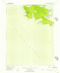
1948 Map of Dixon Entrance D-3
USGS Topo · Published 1958About this map
Howkan (Site) and Koianglas (Site) stand as quiet markers of human history on this mid-century survey of the Alexander Archipelago. Located along the Howkan Narrows, these locations provide essential data points for understanding indigenous and early maritime settlement patterns between Long Island and the surrounding coastal waters. To the northwest, a Cannery at Rose Inlet indicates the industrial fishing activity that drove the regional economy during this period.
Find a feature on this map
60 named features on this map. Tap any name to fly to it.
Don’t see what you’re looking for? This feature index may not catch every label — zoom into the map to look around manually.
Map Details
Editions of this 1948 Dixon Entrance D-3 Map
This is the sole edition of this map. No revisions or reprints were ever made.
Other maps of this area

1948 · Craig A-4
USGS Topo · 1:63,360

1948 · Dixon Entrance D-2
USGS Topo · 1:63,360
1948 · Dixon Entrance C-3
USGS Topo · 1:63,360

1948 · Dixon Entrance D-4
USGS Topo · 1:63,360

1948 · Craig A-3
USGS Topo · 1:63,360

1948 · Craig A-2
USGS Topo · 1:63,360

1951 · Dixon Entrance
USGS Topo · 1:250,000

1951 · Dixon Entrance D-3
USGS Topo · 1:63,360

1951 · Dixon Entrance D-2
USGS Topo · 1:63,360

1951 · Craig A-2
USGS Topo · 1:63,360