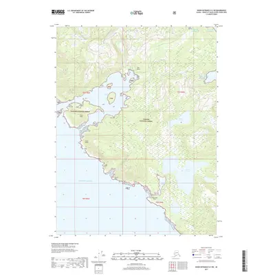
2017 Map of Dixon Entrance D-3 SW
USGS Topo · Published 2017About this map
Dall Island dominates this coastal landscape, showing a complex interplay of land and water along the edge of the Gulf of Alaska. Included within the sprawling Tongass National Forest, the terrain is defined by dramatic elevation changes reaching up toward Cone Mtn. The coastline is heavily indented with features like Port Bazan and Essowah Harbor, providing natural shelter from the open sea. Inland, the hydrology is marked by freshwater bodies such as Parrot Lake and the Essowah Lakes, which sit at various elevations above the rugged shoreline. Numerous landmarks serve as navigational aids along the maritime boundary, including Point Bazan, Parrot Point, and the offshore Parrot Rock. This survey reflects the pristine, undeveloped state of the Alaskan panhandle's outer islands in the early 21st century.
Find a feature on this map
18 named features on this map. Tap any name to fly to it.
Don’t see what you’re looking for? This feature index may not catch every label — zoom into the map to look around manually.
Map Details
Editions of this 2017 Dixon Entrance D-3 SW Map
This is the sole edition of this map. No revisions or reprints were ever made.
Other maps of this area
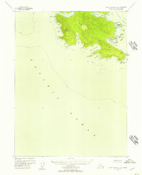
1948 · Dixon Entrance C-3
USGS Topo · 1:63,360

1948 · Dixon Entrance D-4
USGS Topo · 1:63,360

1948 · Dixon Entrance D-3
USGS Topo · 1:63,360

1951 · Dixon Entrance
USGS Topo · 1:250,000

1951 · Dixon Entrance D-3
USGS Topo · 1:63,360
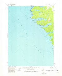
1951 · Dixon Entrance D-4
USGS Topo · 1:63,360

1959 · Dixon Entrance
USGS Topo · 1:250,000
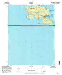
1994 · Dixon Entrance C-3
USGS Topo · 1:63,360
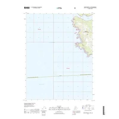
2017 · Dixon Entrance C-3 NW
USGS Topo · 1:25,000
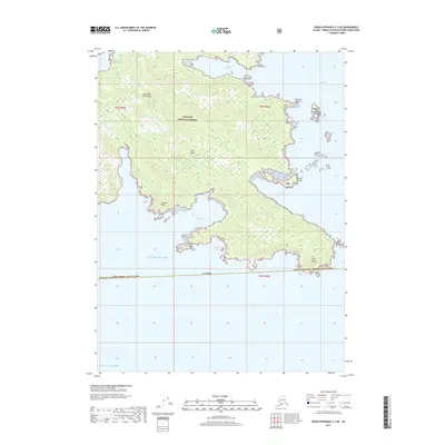
2017 · Dixon Entrance C-3 NE
USGS Topo · 1:25,000