
1981 Map of Dixon Ranch
USGS Topo · Published 1981About this map
Dixon Ranch serves as a central landmark in this portion of Niobrara County, where the high plains landscape is defined by an intricate network of seasonal drainages and draws. The area's topography is marked by significant names like Hooligan Draw, Jolly Draw, and Timber Draw, which feed into larger watercourses such as Dogie Creek and Cow Creek. These features illustrate the essential relationship between water and livestock ranching in eastern Wyoming.
Find a feature on this map
16 named features on this map. Tap any name to fly to it.
Don’t see what you’re looking for? This feature index may not catch every label — zoom into the map to look around manually.
Map Details
Editions of this 1981 Dixon Ranch Map
This is the sole edition of this map. No revisions or reprints were ever made.
Other maps of this area

1955 · Newcastle
USGS Topo · 1:250,000

1958 · Newcastle
USGS Topo · 1:250,000

1981 · Calf Draw
USGS Topo · 1:24,000

1981 · Horseshoe Bend
USGS Topo · 1:24,000

1981 · Mercer Draw
USGS Topo · 1:24,000

1981 · Lance Creek NW
USGS Topo · 1:24,000
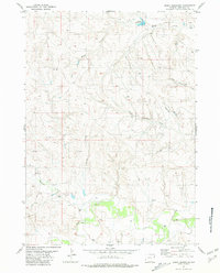
1981 · Boggy Reservoir
USGS Topo · 1:24,000
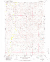
1981 · Funny Rock
USGS Topo · 1:24,000

1981 · Garland Draw
USGS Topo · 1:24,000

1981 · Wagonhound Creek NE
USGS Topo · 1:24,000