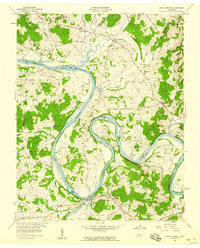
1958 Map of Dixon Springs
USGS Topo · Published 1959About this map
The Cumberland River carves a winding path through this portion of Smith and Trousdale counties, defining a landscape of deep meanders and alluvial islands. Large bends like Kennys Bend, Beasleys Bend, and Cages Bend illustrate how the river dictated early settlement and land use. The map identifies several river features, including Dixon Island, Alexander Island, and Rome Island, alongside an Old River Channel near Hickory Lake. This 1958 survey captures a rural network of small communities such as Dixon Springs, Riddleton, and Rome, connected by roads like Glasgow Road. For the local historian, the map is a dense record of family and community landmarks, featuring numerous small burial grounds like Cato Cem and Stowe Cem, alongside local institutions like Union Heights Sch and Knob Spring Ch.
Find a feature on this map
70 named features on this map. Tap any name to fly to it.
Don’t see what you’re looking for? This feature index may not catch every label — zoom into the map to look around manually.
Map Details
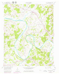
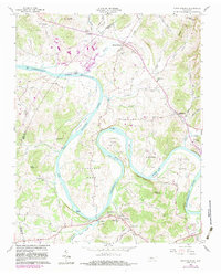
Editions of this 1958 Dixon Springs Map
4 editions found
Other maps of this area

1928 · Gordonsville
USGS Topo · 1:62,500

1932 · Carthage
USGS Topo · 1:62,500

1942 · Statesville
USGS Topo · 1:100,000

1956 · Corbin
USGS Topo · 1:250,000

1956 · Nashville
USGS Topo · 1:250,000

1958 · New Middleton
USGS Topo · 1:24,000

1958 · Corbin
USGS Topo · 1:250,000

1958 · Bellwood
USGS Topo · 1:24,000

1958 · Dixon Springs
USGS Topo · 1:24,000
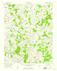
1958 · Shop Springs
USGS Topo · 1:24,000