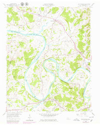
1958 Map of Dixon Springs
USGS Topo · Published 1979About this map
Old Hickory Lake and the winding Cumberland River define this landscape along the border of Smith, Trousdale, and Wilson counties. This mid-century survey captures a river-oriented economy in the midst of change, noting a Ferry still operating south of Johntown. The river's dramatic oxbows create distinctive landforms like Kennys Bend, Beasleys Bend, and Cages Bend, which are punctuated by topographical landmarks such as Upton Bluff and Haynie Pinnacle.
Find a feature on this map
77 named features on this map. Tap any name to fly to it.
Don’t see what you’re looking for? This feature index may not catch every label — zoom into the map to look around manually.
Map Details
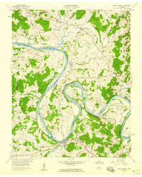
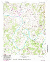
Editions of this 1958 Dixon Springs Map
4 editions found
Other maps of this area

1928 · Gordonsville
USGS Topo · 1:62,500

1932 · Carthage
USGS Topo · 1:62,500

1942 · Statesville
USGS Topo · 1:100,000

1956 · Corbin
USGS Topo · 1:250,000

1956 · Nashville
USGS Topo · 1:250,000

1958 · New Middleton
USGS Topo · 1:24,000

1958 · Corbin
USGS Topo · 1:250,000

1958 · Bellwood
USGS Topo · 1:24,000

1958 · Dixon Springs
USGS Topo · 1:24,000
1958 · Shop Springs
USGS Topo · 1:24,000