
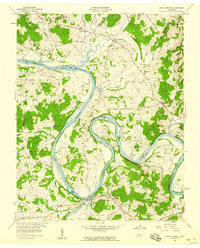
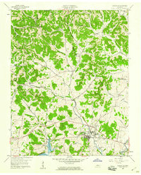
1958 Map of Dixon Springs
USGS Topo · Published 1959About this map
The Cumberland River defines the landscape of north-central Tennessee on this 1950s survey, winding through dramatic loops like Kennys Bend, Beasleys Bend, and Paynes Bend. This era shows the transition of the waterway into Hickory Lake, with islands such as Alexander Island and Parkers Island situated within the wide river channel. The settlement pattern is dominated by rural crossroads and river towns, including Dixon Springs, Riddleton, and Rome, the latter sitting near the confluence of Round Lick Creek and the main river. Genealogists will find a wealth of local landmarks, from family-named cemeteries like Macey Hill Cem and Porter Cem to educational and spiritual centers like Cox-Davis Sch, Union Heights Sch, and Chapel Hill Ch. The presence of several quarries and the crossing of Rome Road reflect the local industry and transportation network of the mid-20th century.
Find a feature on this map
79 named features on this map. Tap any name to fly to it.
Don’t see what you’re looking for? This feature index may not catch every label — zoom into the map to look around manually.
Map Details
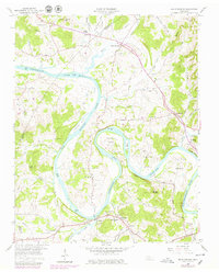
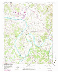
Editions of this 1958 Dixon Springs Map
4 editions found
Other maps of this area

1928 · Gordonsville
USGS Topo · 1:62,500

1932 · Carthage
USGS Topo · 1:62,500

1942 · Statesville
USGS Topo · 1:100,000

1956 · Corbin
USGS Topo · 1:250,000

1956 · Nashville
USGS Topo · 1:250,000

1958 · New Middleton
USGS Topo · 1:24,000

1958 · Corbin
USGS Topo · 1:250,000

1958 · Bellwood
USGS Topo · 1:24,000
1958 · Shop Springs
USGS Topo · 1:24,000
1958 · Hartsville
USGS Topo · 1:24,000