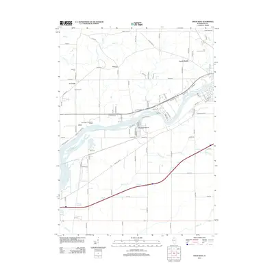
2012 Map of Dixon West
USGS Topo · Published 2012About this map
The Rock River carves a dominant path through this portion of Lee County, Illinois, anchoring a landscape where academic institutions and rural settlements meet. Along its northern banks, the Sauk Valley Community College campus serves as a significant regional landmark, situated near the Collins Airstrip. The area is characterized by a mix of established residential clusters like Lincoln Heights and Woodland Shores, alongside smaller historic centers such as Palmyra and Prairieville.
Find a feature on this map
87 named features on this map. Tap any name to fly to it.
Don’t see what you’re looking for? This feature index may not catch every label — zoom into the map to look around manually.
Map Details
Editions of this 2012 Dixon West Map
This is the sole edition of this map. No revisions or reprints were ever made.
Other maps of this area

1918 · Dixon
USGS Topo · 1:62,500

1930 · Woodsung
USGS Topo · 1:48,000

1946 · Sterling
USGS Topo · 1:62,500

1948 · Sterling
USGS Topo · 1:62,500

1949 · Walnut
USGS Topo · 1:62,500

1950 · Dixon
USGS Topo · 1:62,500

1951 · Amboy
USGS Topo · 1:62,500

1958 · Aurora
USGS Topo · 1:250,000

1961 · Aurora
USGS Topo · 1:250,000

1982 · Harmon
USGS Topo · 1:24,000