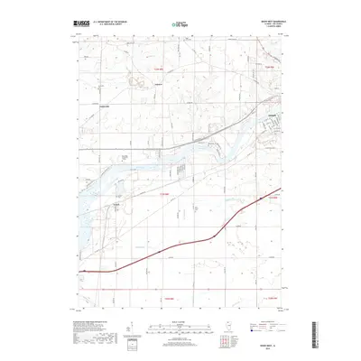
2018 Map of Dixon West
USGS Topo · Published 2018About this map
The Rock River carves a wide path through this portion of Lee County, serving as the central geographic feature for the city of Dixon and the surrounding agricultural townships. To the west, the village of Nelson is situated near the riverbanks, while the campus of Sauk Valley Community College occupies a prominent position on the northern shore. The landscape is defined by the drainage patterns of several tributaries, including Sugar Cr, Threemile Br, and Fivemile Br, which cut through the high ground of Palmyra and Prairieville. This area is rich in genealogical landmarks, with several small rural burial grounds such as Sugar Grove Cem, Prairieville Cem, and Pine Grove Cem scattered across the township sections. The map detail extends to the street level of western Dixon, showing the dense grid near the river including W Fourth St and Factory St.
Find a feature on this map
90 named features on this map. Tap any name to fly to it.
Don’t see what you’re looking for? This feature index may not catch every label — zoom into the map to look around manually.
Map Details
Editions of this 2018 Dixon West Map
This is the sole edition of this map. No revisions or reprints were ever made.
Other maps of this area

1918 · Dixon
USGS Topo · 1:62,500

1930 · Woodsung
USGS Topo · 1:48,000

1946 · Sterling
USGS Topo · 1:62,500

1948 · Sterling
USGS Topo · 1:62,500

1949 · Walnut
USGS Topo · 1:62,500

1950 · Dixon
USGS Topo · 1:62,500

1951 · Amboy
USGS Topo · 1:62,500

1958 · Aurora
USGS Topo · 1:250,000

1961 · Aurora
USGS Topo · 1:250,000

1982 · Harmon
USGS Topo · 1:24,000