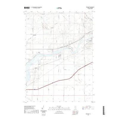
2021 Map of Dixon West
USGS Topo · Published 2021About this map
The Rock River carves a diagonal path through this portion of Lee County, serving as the primary geographic anchor for the surrounding settlements and transport corridors. Along its banks, the campus of Sauk Valley Community College sits between the village of Nelson to the southwest and the western edge of Dixon to the northeast. This 2021 survey illustrates a landscape where modern infrastructure follows long-established routes, such as the rail line passing through Nelson and the road networks connecting Palmyra and Prairieville.
Find a feature on this map
82 named features on this map. Tap any name to fly to it.
Don’t see what you’re looking for? This feature index may not catch every label — zoom into the map to look around manually.
Map Details
Editions of this 2021 Dixon West Map
This is the sole edition of this map. No revisions or reprints were ever made.
Other maps of this area

1918 · Dixon
USGS Topo · 1:62,500

1930 · Woodsung
USGS Topo · 1:48,000

1946 · Sterling
USGS Topo · 1:62,500

1948 · Sterling
USGS Topo · 1:62,500

1949 · Walnut
USGS Topo · 1:62,500

1950 · Dixon
USGS Topo · 1:62,500

1951 · Amboy
USGS Topo · 1:62,500

1958 · Aurora
USGS Topo · 1:250,000

1961 · Aurora
USGS Topo · 1:250,000

1982 · Harmon
USGS Topo · 1:24,000