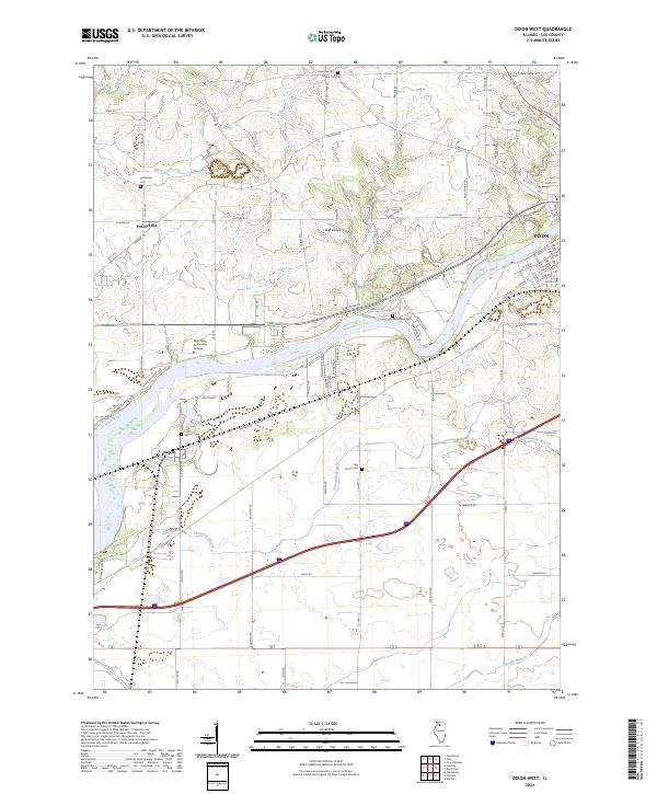
2024 Map of Dixon West
USGS Topo · Published 2024About this map
The Rock River carves a broad valley through this Lee County landscape, serving as the central geographic feature between the city of Dixon and the village of Nelson. The terrain is defined by a network of drainage systems including Sugar Creek, Threemile Branch, and Fivemile Branch, which flow toward the primary river channel. This contemporary mapping shows the footprint of Sauk Valley Community College situated on the north bank, illustrating the area's modern educational infrastructure.
Find a feature on this map
85 named features on this map. Tap any name to fly to it.
Don’t see what you’re looking for? This feature index may not catch every label — zoom into the map to look around manually.
Map Details
Editions of this 2024 Dixon West Map
This is the sole edition of this map. No revisions or reprints were ever made.
Other maps of this area

1918 · Dixon
USGS Topo · 1:62,500

1930 · Woodsung
USGS Topo · 1:48,000

1946 · Sterling
USGS Topo · 1:62,500

1948 · Sterling
USGS Topo · 1:62,500

1949 · Walnut
USGS Topo · 1:62,500

1950 · Dixon
USGS Topo · 1:62,500

1951 · Amboy
USGS Topo · 1:62,500

1958 · Aurora
USGS Topo · 1:250,000

1961 · Aurora
USGS Topo · 1:250,000

1982 · Harmon
USGS Topo · 1:24,000