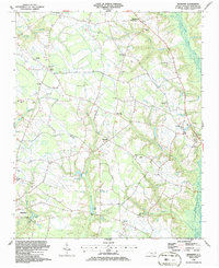
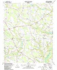
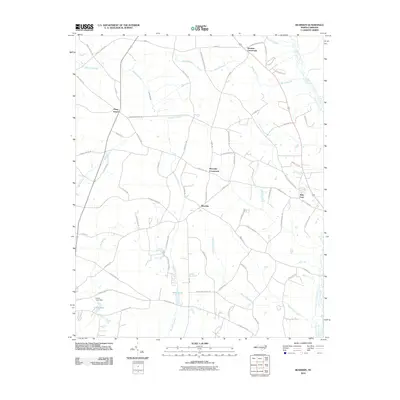
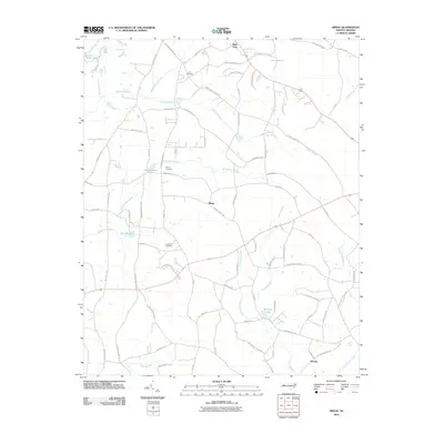
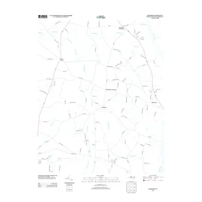
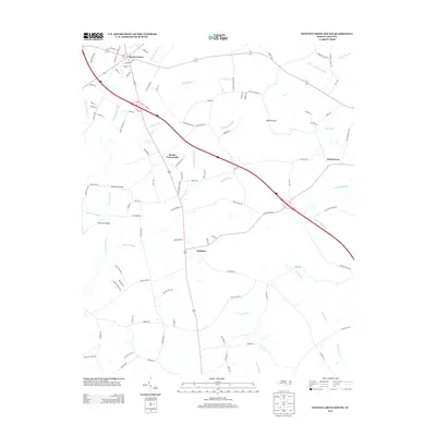
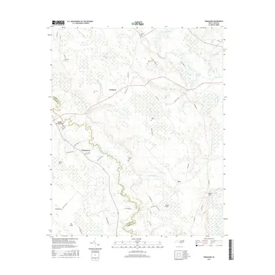
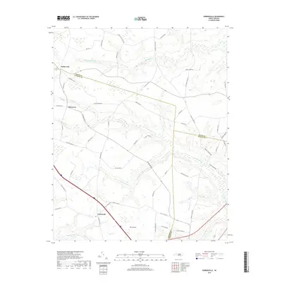
1997 Map of Dobbersville
USGS Topo · Published 2000About this map
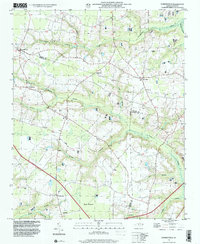
Dobbersville and its surrounding agricultural lands straddle the intersection of Wayne and Sampson counties in this late-twentieth-century study. The landscape is defined by an extensive network of blackwater drainage systems, most notably Thoroughfare Swamp to the north and the wide reach of Goshen Swamp through the center. These wetlands isolate small upland settlements like Suttontown and Giddensville, where community life is centered around local congregations such as Brownings Ch and Saints Delight Ch.
Find a feature on this map
28 named features on this map. Tap any name to fly to it.
Don’t see what you’re looking for? This feature index may not catch every label — zoom into the map to look around manually.
Map Details
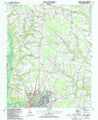
Editions of this 1997 Dobbersville Map
This is the sole edition of this map. No revisions or reprints were ever made.
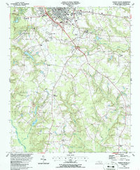
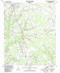
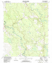
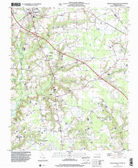
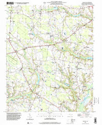
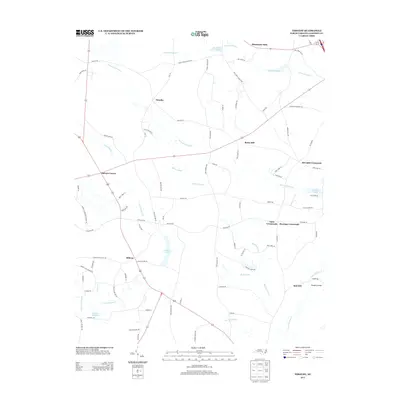
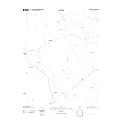
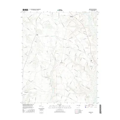
Historical Maps of Dobbersville Through Time
52 maps found
1909 Coharie
Sampson County, NC
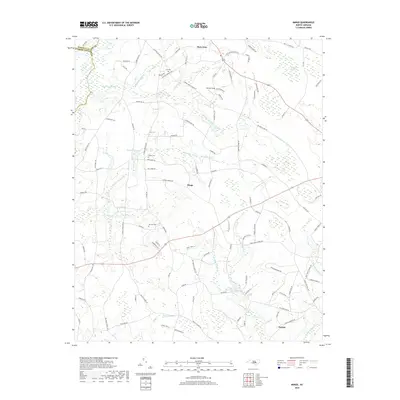
1974 Mingo
Sampson County, NC
1978 Dobbersville
Sampson County, NC
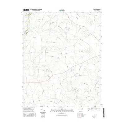
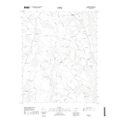
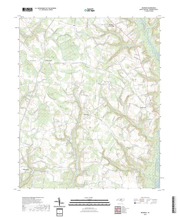
1986 Bearskin
Sampson County, NC
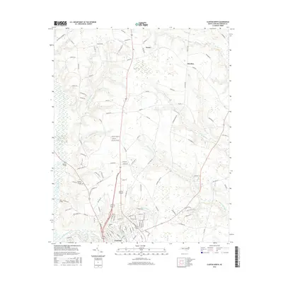
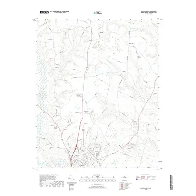
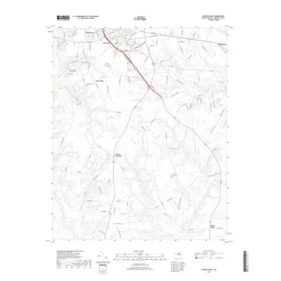
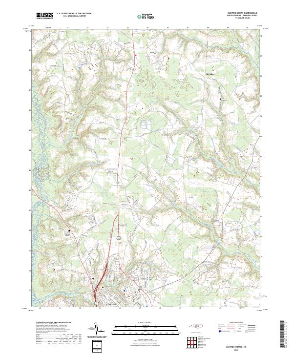
1986 Clinton North
Sampson County, NC
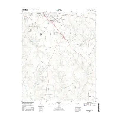
1986 Clinton South
Sampson County, NC
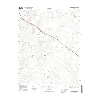
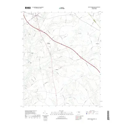
1986 Newton Grove South
Sampson County, NC
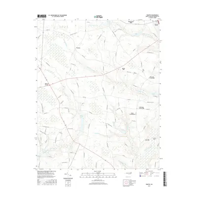
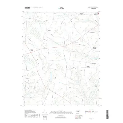
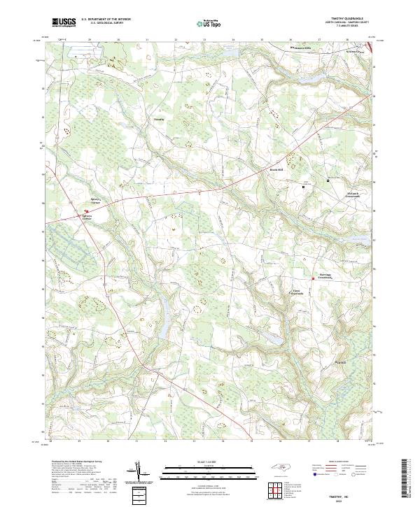
1986 Timothy
Sampson County, NC
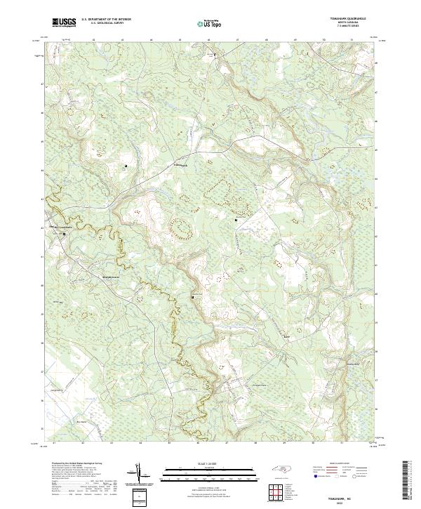
1986 Tomahawk
Sampson County, NC
1997 Dobbersville
Sampson County, NC
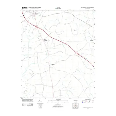
1997 Newton Grove South
Sampson County, NC
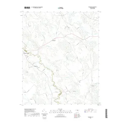
1997 Timothy
Sampson County, NC
2010 Bearskin
Sampson County, NC
2010 Clinton North
Sampson County, NC
2010 Clinton South
Sampson County, NC
2010 Dobbersville
Sampson County, NC
2010 Mingo
Sampson County, NC
2010 Newton Grove South
Sampson County, NC
2010 Timothy
Sampson County, NC
2010 Tomahawk
Sampson County, NC
2013 Bearskin
Sampson County, NC
2013 Clinton North
Sampson County, NC

2013 Clinton South
Sampson County, NC
2013 Dobbersville
Sampson County, NC
2013 Mingo
Sampson County, NC
2013 Newton Grove South
Sampson County, NC
2013 Timothy
Sampson County, NC
2013 Tomahawk
Sampson County, NC
2016 Bearskin
Sampson County, NC
2016 Clinton North
Sampson County, NC
2016 Clinton South
Sampson County, NC

2016 Dobbersville
Sampson County, NC
2016 Mingo
Sampson County, NC
2016 Newton Grove South
Sampson County, NC
2016 Timothy
Sampson County, NC
2016 Tomahawk
Sampson County, NC
2019 Bearskin
Sampson County, NC
2019 Clinton North
Sampson County, NC
2019 Clinton South
Sampson County, NC
2019 Dobbersville
Sampson County, NC
2019 Mingo
Sampson County, NC
2019 Newton Grove South
Sampson County, NC
2019 Timothy
Sampson County, NC
2019 Tomahawk
Sampson County, NC
2022 Bearskin
Sampson County, NC
2022 Clinton North
Sampson County, NC
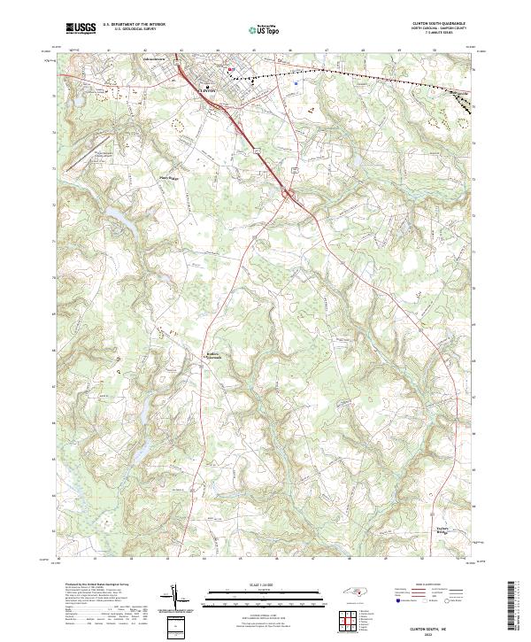
2022 Clinton South
Sampson County, NC
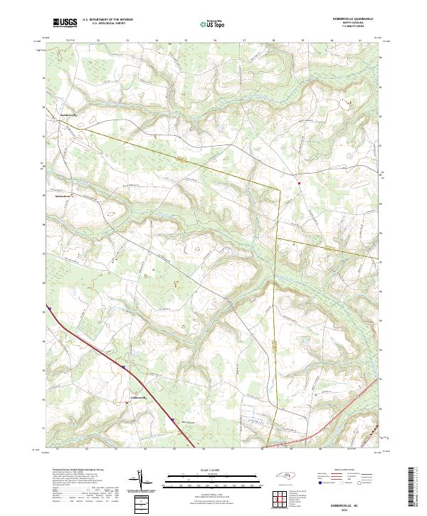
2022 Dobbersville
Sampson County, NC
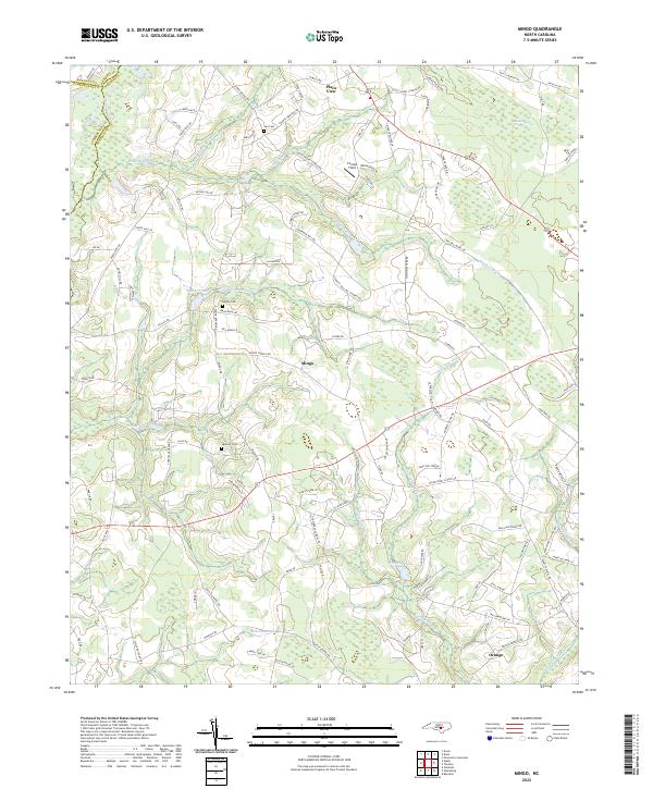
2022 Mingo
Sampson County, NC
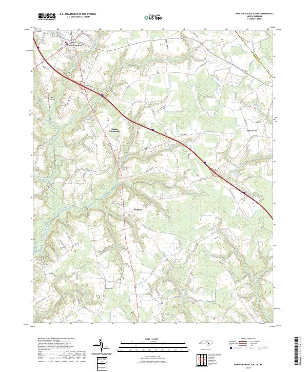
2022 Newton Grove South
Sampson County, NC
2022 Timothy
Sampson County, NC
2022 Tomahawk
Sampson County, NC